NM21-765-33
| NASA Photo ID | NM21-765-33 |
| Focal Length | 250mm |
| Date taken | 1996.07.03 |
| Time taken | 16:51:34 GMT |
Resolutions offered for this image:
3904 x 3820 pixels 639 x 626 pixels 5700 x 6000 pixels 500 x 526 pixels
3904 x 3820 pixels 639 x 626 pixels 5700 x 6000 pixels 500 x 526 pixels

Cloud masks available for this image:
Spacecraft nadir point: 39.9° N, 91.8° W
Photo center point: 40.0° N, 91.5° W
Photo center point by machine learning:
Photo center point: 40.0° N, 91.5° W
Photo center point by machine learning:
Nadir to Photo Center: East
Spacecraft Altitude: 208 nautical miles (385km)
Country or Geographic Name: | USA-ILLINOIS |
Features: | MISSISSIPPI R., KEOKUK IA |
| Features Found Using Machine Learning: | |
Cloud Cover Percentage: | 0 (no clouds present) |
Sun Elevation Angle: | 66° |
Sun Azimuth: | 129° |
Camera: | Hasselblad |
Focal Length: | 250mm |
Camera Tilt: | 5 degrees |
Format: | 5046: Kodak, natural color positive, Lumiere 100/5046, ASA 100, standard base |
Film Exposure: | Normal |
| Additional Information | |
| Width | Height | Annotated | Cropped | Purpose | Links |
|---|---|---|---|---|---|
| 3904 pixels | 3820 pixels | No | No | Earth From Space collection | Download Image |
| 639 pixels | 626 pixels | No | No | Earth From Space collection | Download Image |
| 5700 pixels | 6000 pixels | No | No | Download Image | |
| 500 pixels | 526 pixels | No | No | Download Image |
Download Packaged File
Download a Google Earth KML for this Image
View photo footprint information
Download a GeoTIFF for this photo
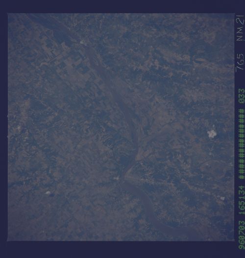
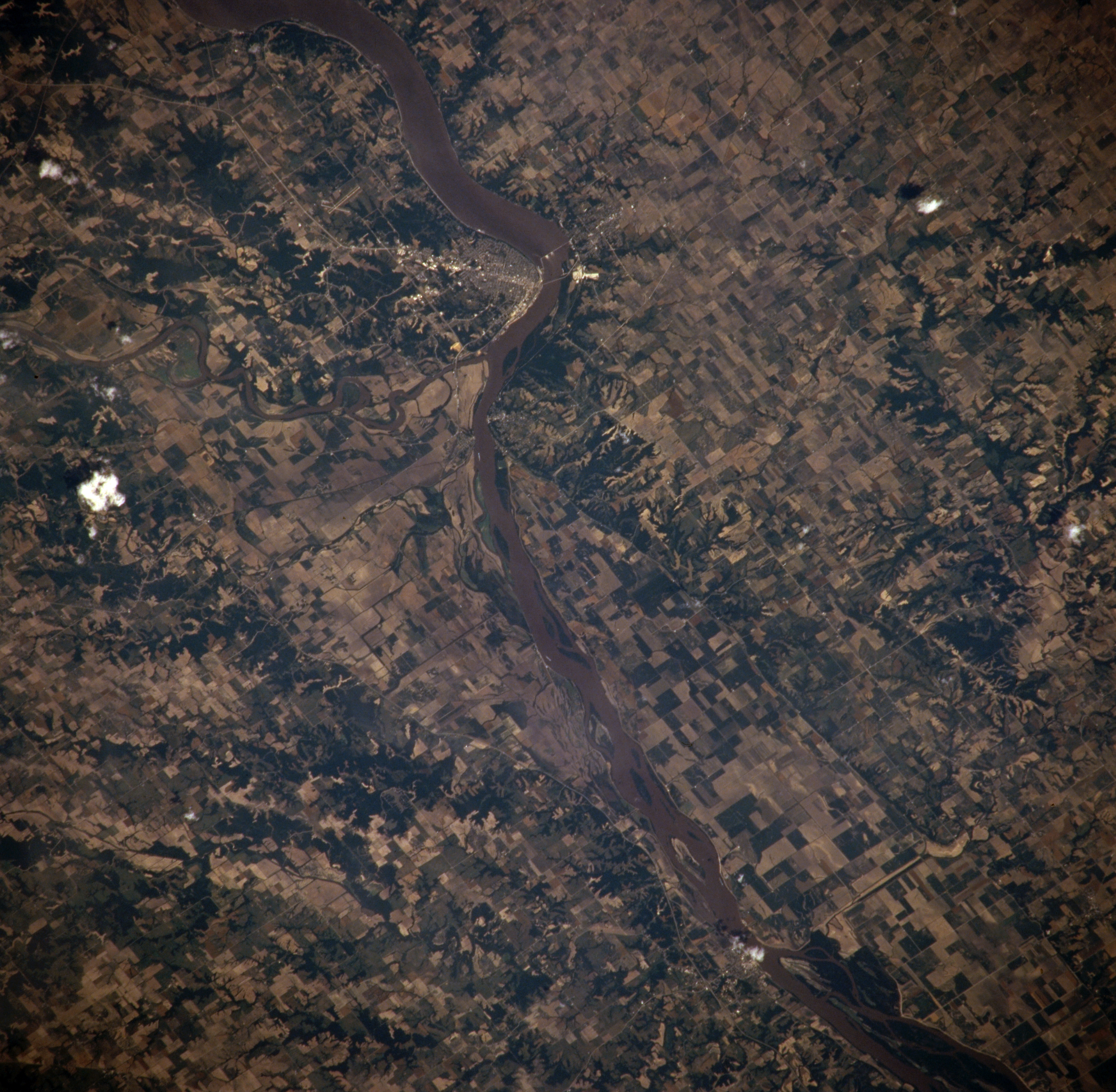
Image Caption: NM21-765-033 Mississippi River and Keokuk, Iowa, U.S.A. Winter 1995-1996
The muddy Mississippi River passes Keokuk in this northeast-looking, low-oblique photograph. Keokuk, named for a Sac Indian chief who is buried at a city park, is situated in extreme southeast Iowa on the western bank of the Mississippi River at the foot of the Des Moines River. Lake Keokuk and its gravity dam, which was completed in 1913, furnish hydroelectric power for Keokuk's many industries, which include food processing and packaging and metal products.
The muddy Mississippi River passes Keokuk in this northeast-looking, low-oblique photograph. Keokuk, named for a Sac Indian chief who is buried at a city park, is situated in extreme southeast Iowa on the western bank of the Mississippi River at the foot of the Des Moines River. Lake Keokuk and its gravity dam, which was completed in 1913, furnish hydroelectric power for Keokuk's many industries, which include food processing and packaging and metal products.
