NM21-765-31
| NASA Photo ID | NM21-765-31 |
| Focal Length | 250mm |
| Date taken | 1996.07.03 |
| Time taken | 16:51:28 GMT |
Resolutions offered for this image:
3904 x 3886 pixels 639 x 637 pixels 5700 x 6000 pixels 500 x 526 pixels
3904 x 3886 pixels 639 x 637 pixels 5700 x 6000 pixels 500 x 526 pixels

Cloud masks available for this image:
Spacecraft nadir point: 39.7° N, 92.2° W
Photo center point: 40.0° N, 91.5° W
Photo center point by machine learning:
Photo center point: 40.0° N, 91.5° W
Photo center point by machine learning:
Nadir to Photo Center: East
Spacecraft Altitude: 208 nautical miles (385km)
Country or Geographic Name: | USA-MISSOURI |
Features: | HANNIBAL MO., QUINCY IL. |
| Features Found Using Machine Learning: | |
Cloud Cover Percentage: | 5 (1-10)% |
Sun Elevation Angle: | 66° |
Sun Azimuth: | 128° |
Camera: | Hasselblad |
Focal Length: | 250mm |
Camera Tilt: | 12 degrees |
Format: | 5046: Kodak, natural color positive, Lumiere 100/5046, ASA 100, standard base |
Film Exposure: | Normal |
| Additional Information | |
| Width | Height | Annotated | Cropped | Purpose | Links |
|---|---|---|---|---|---|
| 3904 pixels | 3886 pixels | No | No | Earth From Space collection | Download Image |
| 639 pixels | 637 pixels | No | No | Earth From Space collection | Download Image |
| 5700 pixels | 6000 pixels | No | No | Download Image | |
| 500 pixels | 526 pixels | No | No | Download Image |
Download Packaged File
Download a Google Earth KML for this Image
View photo footprint information
Download a GeoTIFF for this photo
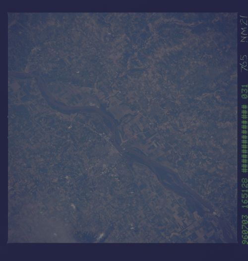
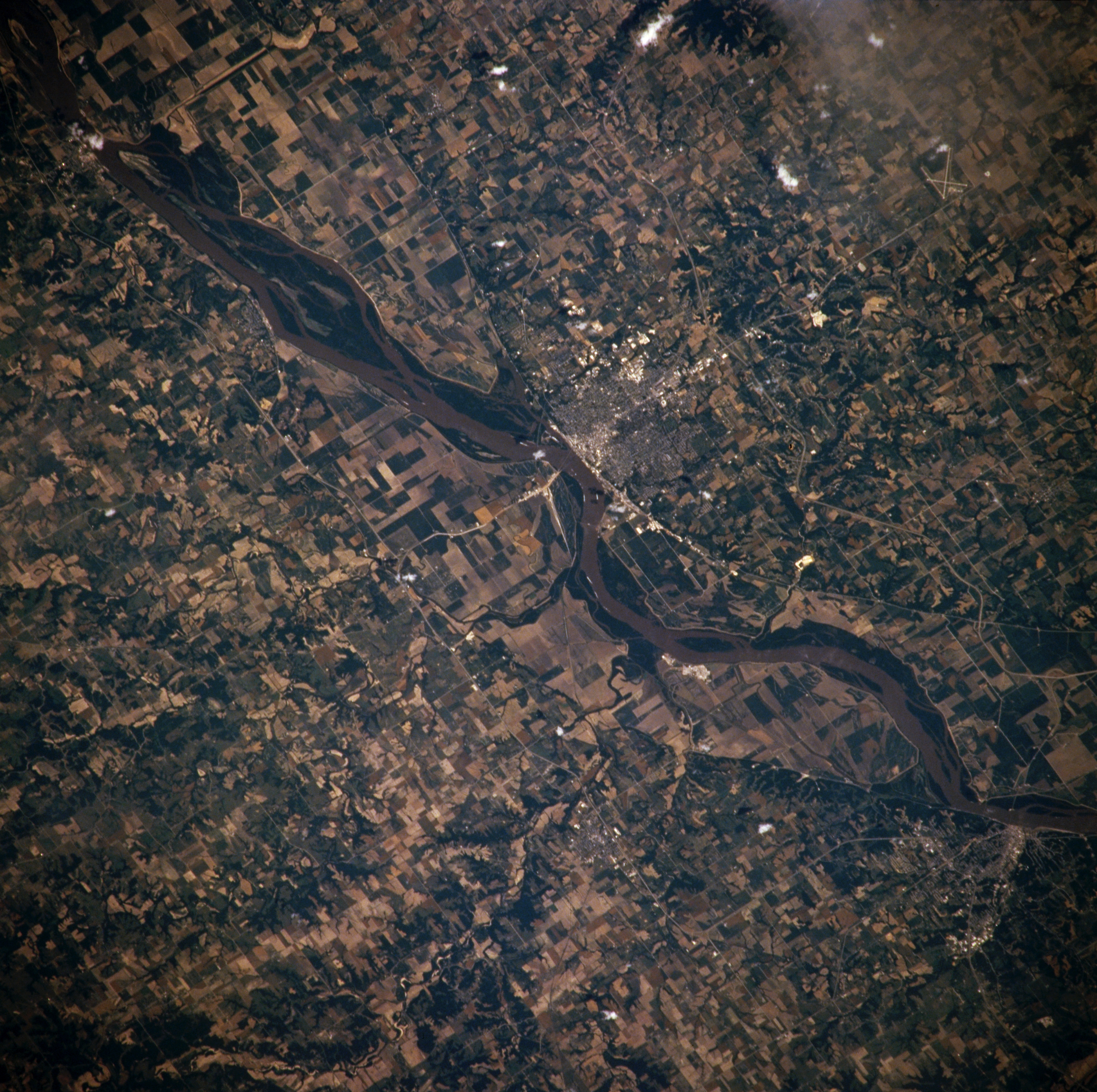
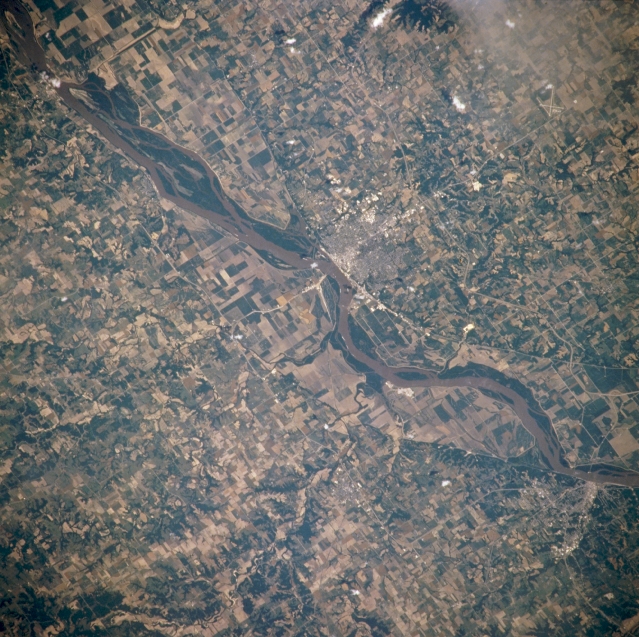
Image Caption: NM21-765-031 Mississippi River and Quincy, Illinois, U.S.A. Winter 1995-1996
Featured in this northeast-looking, low-oblique photograph is the portion of the Mississippi River between Canton and Hannibal, Missouri. Visible are the river's floodplain and numerous agricultural field patterns, the area devastated by the floods of the spring and summer of 1993. Atop a bluff on the eastern shore of the river is Quincy, Illinois (near center), a trade, industrial, and distribution center in a grain and livestock producing area. The city has a good harbor and was an important river port in the mid-19th century. Hannibal, Missouri (near bottom right), the boyhood home of author Mark Twain, sits on the western shore of the Mississippi River.
Featured in this northeast-looking, low-oblique photograph is the portion of the Mississippi River between Canton and Hannibal, Missouri. Visible are the river's floodplain and numerous agricultural field patterns, the area devastated by the floods of the spring and summer of 1993. Atop a bluff on the eastern shore of the river is Quincy, Illinois (near center), a trade, industrial, and distribution center in a grain and livestock producing area. The city has a good harbor and was an important river port in the mid-19th century. Hannibal, Missouri (near bottom right), the boyhood home of author Mark Twain, sits on the western shore of the Mississippi River.
