NM21-759-80
| NASA Photo ID | NM21-759-80 |
| Focal Length | 100mm |
| Date taken | 1996.06.22 |
| Time taken | 12:20:09 GMT |
Resolutions offered for this image:
5700 x 6000 pixels 500 x 526 pixels 5126 x 5126 pixels 1282 x 1282 pixels
5700 x 6000 pixels 500 x 526 pixels 5126 x 5126 pixels 1282 x 1282 pixels

Cloud masks available for this image:
Spacecraft nadir point: 26.2° N, 30.7° E
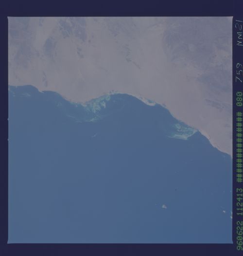
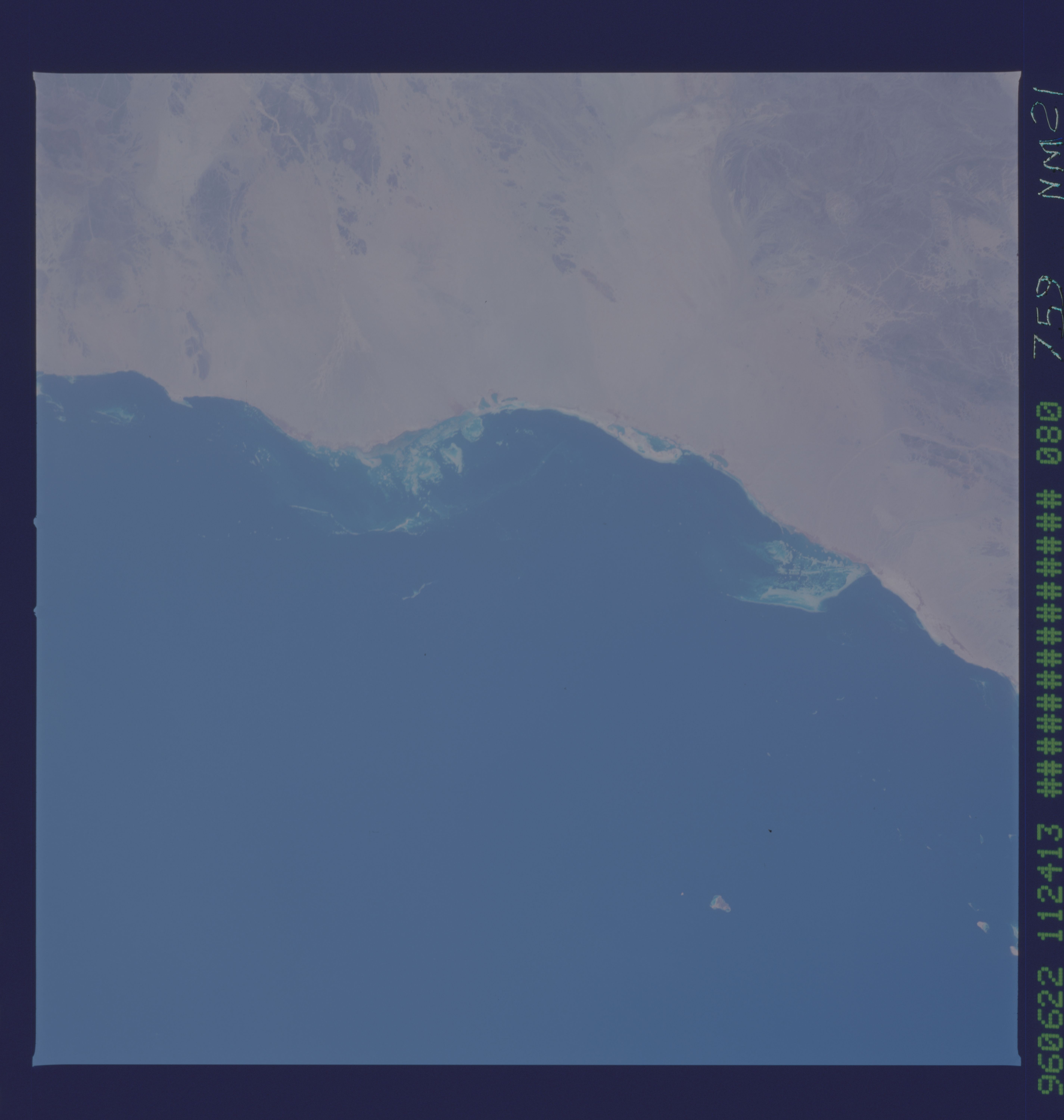
Photo center point: 23.0° N, 36.0° E
Photo center point by machine learning:
Photo center point: 23.0° N, 36.0° E
Photo center point by machine learning:
Nadir to Photo Center: Southeast
Spacecraft Altitude: 209 nautical miles (387km)
Country or Geographic Name: | EGYPT |
Features: | RED SEA COAST, REEFS, I. |
| Features Found Using Machine Learning: | |
Cloud Cover Percentage: | 0 (no clouds present) |
Sun Elevation Angle: | 58° |
Sun Azimuth: | 273° |
Camera: | Hasselblad |
Focal Length: | 100mm |
Camera Tilt: | Low Oblique |
Format: | 5046: Kodak, natural color positive, Lumiere 100/5046, ASA 100, standard base |
Film Exposure: | Normal |
| Additional Information | |
| Width | Height | Annotated | Cropped | Purpose | Links |
|---|---|---|---|---|---|
| 5700 pixels | 6000 pixels | No | No | Download Image | |
| 500 pixels | 526 pixels | No | No | Download Image | |
| 5126 pixels | 5126 pixels | No | Yes | Reef RS | Download Image |
| 1282 pixels | 1282 pixels | No | Yes | Download Image |
Download Packaged File
Download a Google Earth KML for this Image
View photo footprint information
Download a GeoTIFF for this photo
Image Caption: none
