NM21-735-78

| NASA Photo ID | NM21-735-78 |
| Focal Length | 250mm |
| Date taken | 1996.05.03 |
| Time taken | 07:46:38 GMT |

Cloud masks available for this image:
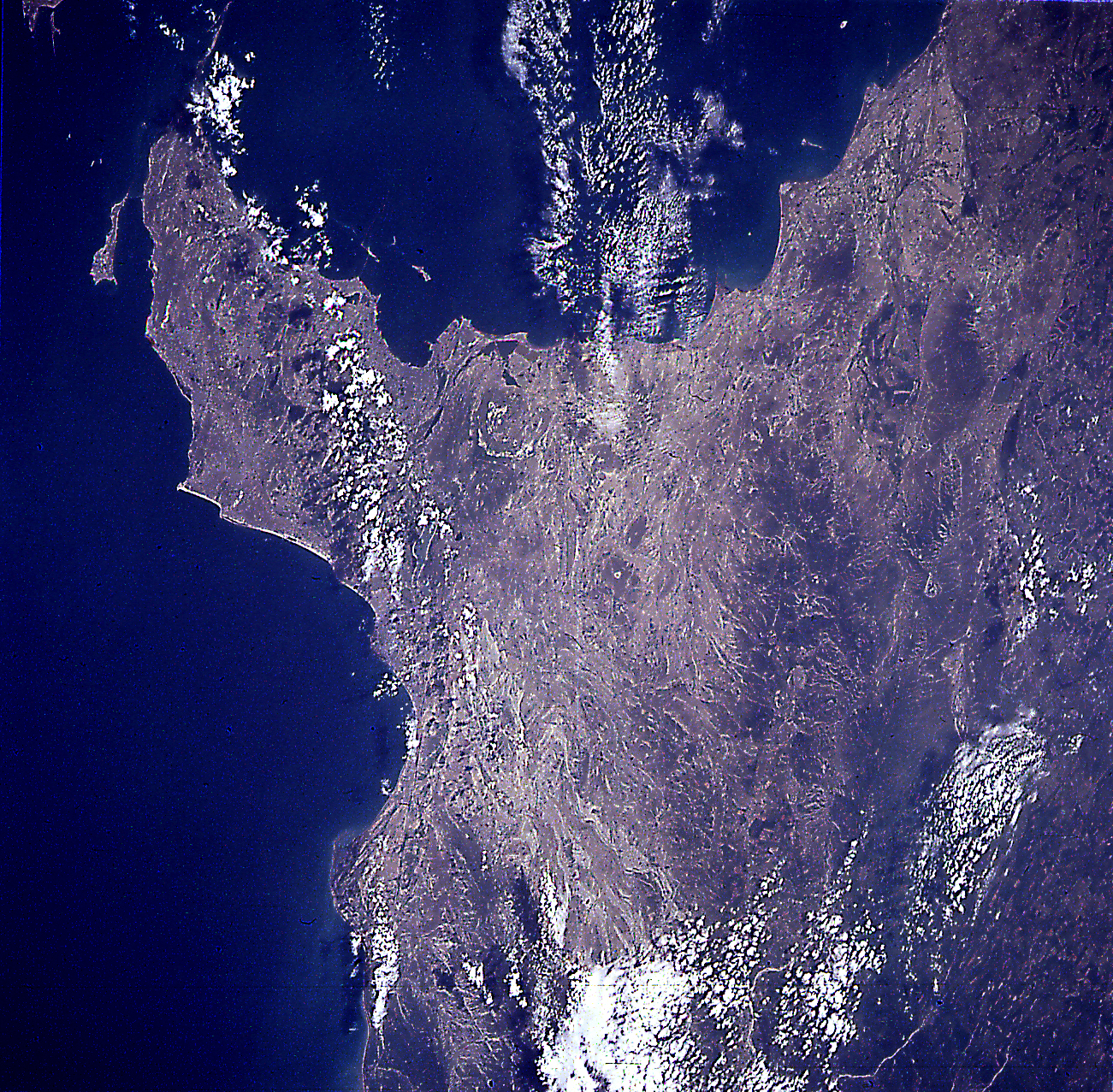
Spacecraft nadir point: 41.2° N, 54.3° E
Photo center point: 40.5° N, 49.5° E
Photo center point by machine learning:
Photo center point: 40.5° N, 49.5° E
Photo center point by machine learning:
Nadir to Photo Center: West
Spacecraft Altitude: 211 nautical miles (391km)
Country or Geographic Name: | AZERBAIJAN |
Features: | APSHERONSKIY PENN., BAKU |
| Features Found Using Machine Learning: | |
Cloud Cover Percentage: | 15 (11-25)% |
Sun Elevation Angle: | 64° |
Sun Azimuth: | 162° |
Camera: | Hasselblad |
Focal Length: | 250mm |
Camera Tilt: | 54 degrees |
Format: | 5046: Kodak, natural color positive, Lumiere 100/5046, ASA 100, standard base |
Film Exposure: | Normal |
| Additional Information | |
| Width | Height | Annotated | Cropped | Purpose | Links |
|---|---|---|---|---|---|
| 5700 pixels | 6000 pixels | No | No | Download Image | |
| 500 pixels | 526 pixels | No | No | Download Image | |
| 1301 pixels | 1277 pixels | Shuttle-Mir Book | Download Image |
Download Packaged File
Download a Google Earth KML for this Image
View photo footprint information
Download a GeoTIFF for this photo
Image Caption: none
