NM21-735-46
| NASA Photo ID | NM21-735-46 |
| Focal Length | 250mm |
| Date taken | 1996.05.02 |
| Time taken | 08:44:28 GMT |
Resolutions offered for this image:
4096 x 4096 pixels 640 x 640 pixels 5700 x 6000 pixels 500 x 526 pixels
4096 x 4096 pixels 640 x 640 pixels 5700 x 6000 pixels 500 x 526 pixels

Cloud masks available for this image:
Spacecraft nadir point: 47.5° N, 61.4° E
Photo center point: 46.5° N, 61.0° E
Photo center point by machine learning:
Photo center point: 46.5° N, 61.0° E
Photo center point by machine learning:
Nadir to Photo Center: South
Spacecraft Altitude: 210 nautical miles (389km)
Country or Geographic Name: | KAZAKHSTAN |
Features: | ARAL SEA, PASKEVICHA BAY |
| Features Found Using Machine Learning: | |
Cloud Cover Percentage: | 0 (no clouds present) |
Sun Elevation Angle: | 56° |
Sun Azimuth: | 204° |
Camera: | Hasselblad |
Focal Length: | 250mm |
Camera Tilt: | 17 degrees |
Format: | 5046: Kodak, natural color positive, Lumiere 100/5046, ASA 100, standard base |
Film Exposure: | Normal |
| Additional Information | |
| Width | Height | Annotated | Cropped | Purpose | Links |
|---|---|---|---|---|---|
| 4096 pixels | 4096 pixels | No | No | Earth From Space collection | Download Image |
| 640 pixels | 640 pixels | No | No | Earth From Space collection | Download Image |
| 5700 pixels | 6000 pixels | No | No | Download Image | |
| 500 pixels | 526 pixels | No | No | Download Image |
Download Packaged File
Download a Google Earth KML for this Image
View photo footprint information
Download a GeoTIFF for this photo
Image Caption: NM21-735-046 Little Aral Sea, Kazakhstan Spring-Summer 1996
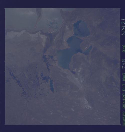
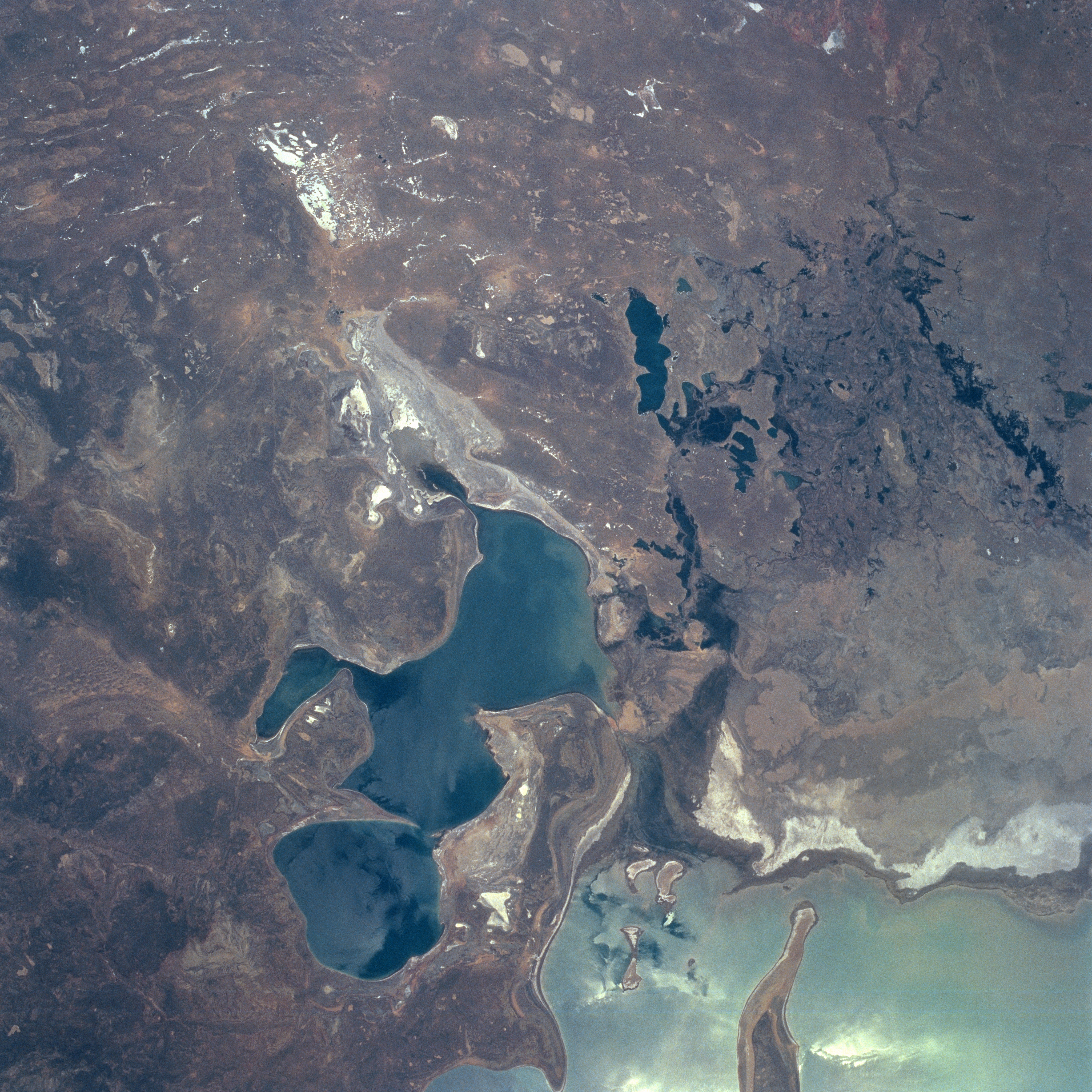
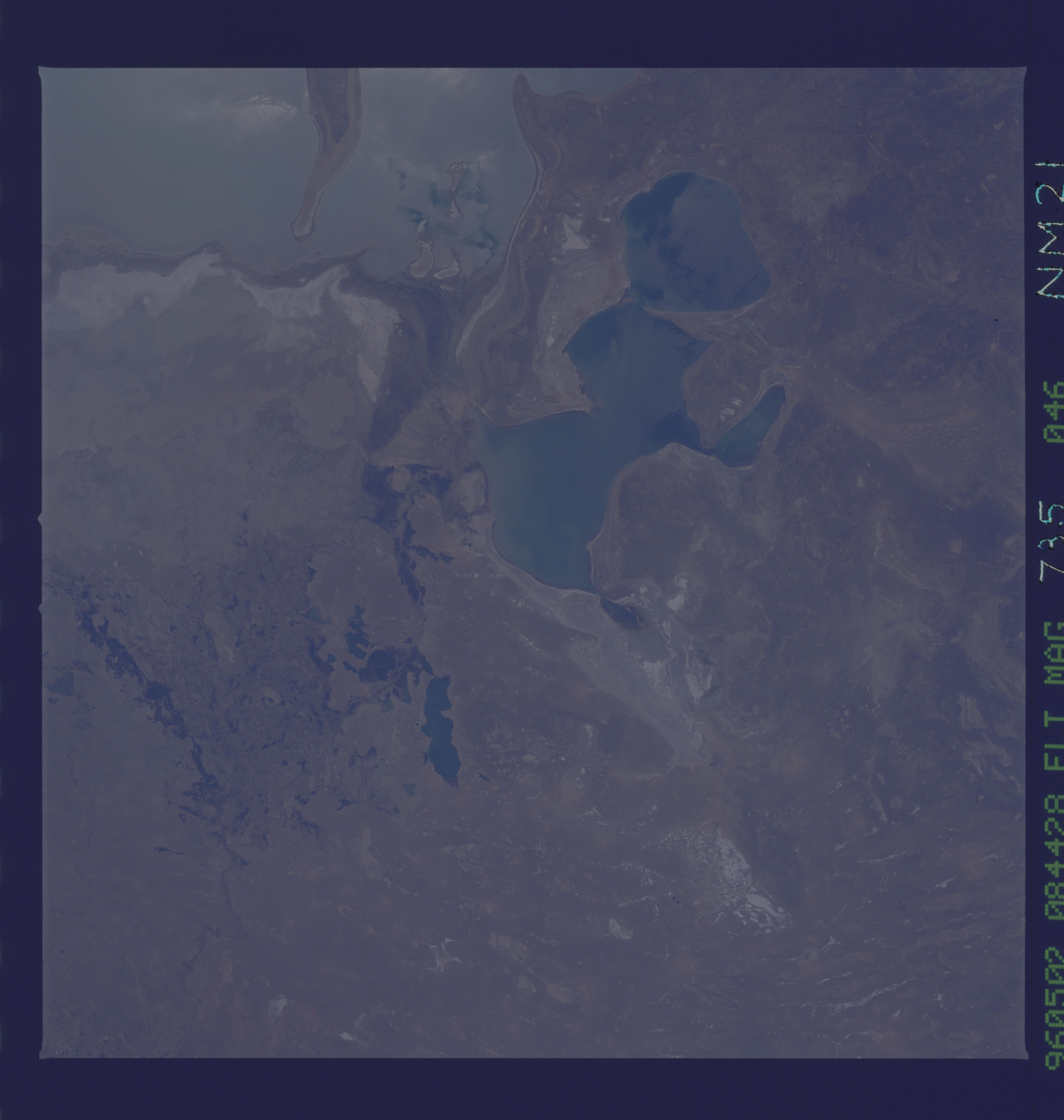
The subdued tan and brown colors of the desert terrain around the Little Aral Sea (darker feature near bottom center), formerly known as the northern basin of the Aral Sea, tends to accentuate the stressful environmental conditions that presently exist in southwest Kazakhstan. The sizeable, light-colored area (bottom right corner) is the northeast corner of the Aral Sea. The thin, dark, meandering feature (upper right corner) is the main channel of the Syr Darya as it drains westward before the river diffuses into a broad delta (darker landscape near right edge of image) of many canals and streams. The dark features within the vicinity of the delta show the location and size of small lakes within the structure of the Syr Darya Delta. The highly reflective (whiter-looking features) areas are salt flats (dry lake beds) that are scattered throughout this arid landscape. Because of the rapid drop in sea level in the Aral Sea since 1960, the once thriving fishing port of Aralsk is now 60 miles (97 km) from the shore of the Little Aral Sea (northeast corner of the sea).
The subdued tan and brown colors of the desert terrain around the Little Aral Sea (darker feature near bottom center), formerly known as the northern basin of the Aral Sea, tends to accentuate the stressful environmental conditions that presently exist in southwest Kazakhstan. The sizeable, light-colored area (bottom right corner) is the northeast corner of the Aral Sea. The thin, dark, meandering feature (upper right corner) is the main channel of the Syr Darya as it drains westward before the river diffuses into a broad delta (darker landscape near right edge of image) of many canals and streams. The dark features within the vicinity of the delta show the location and size of small lakes within the structure of the Syr Darya Delta. The highly reflective (whiter-looking features) areas are salt flats (dry lake beds) that are scattered throughout this arid landscape. Because of the rapid drop in sea level in the Aral Sea since 1960, the once thriving fishing port of Aralsk is now 60 miles (97 km) from the shore of the Little Aral Sea (northeast corner of the sea).

