NM21-727-6

| NASA Photo ID | NM21-727-6 |
| Focal Length | 250mm |
| Date taken | 1996.03.__ |
| Time taken | GMT |
Resolutions offered for this image:
5700 x 6000 pixels 500 x 526 pixels 2908 x 2883 pixels 1302 x 1286 pixels 540 x 533 pixels
5700 x 6000 pixels 500 x 526 pixels 2908 x 2883 pixels 1302 x 1286 pixels 540 x 533 pixels


Cloud masks available for this image:
Spacecraft nadir point:
Photo center point: 1.0° N, 44.0° E
Photo center point by machine learning:
Photo center point: 1.0° N, 44.0° E
Photo center point by machine learning:
Nadir to Photo Center:
Spacecraft Altitude: nautical miles (0km)
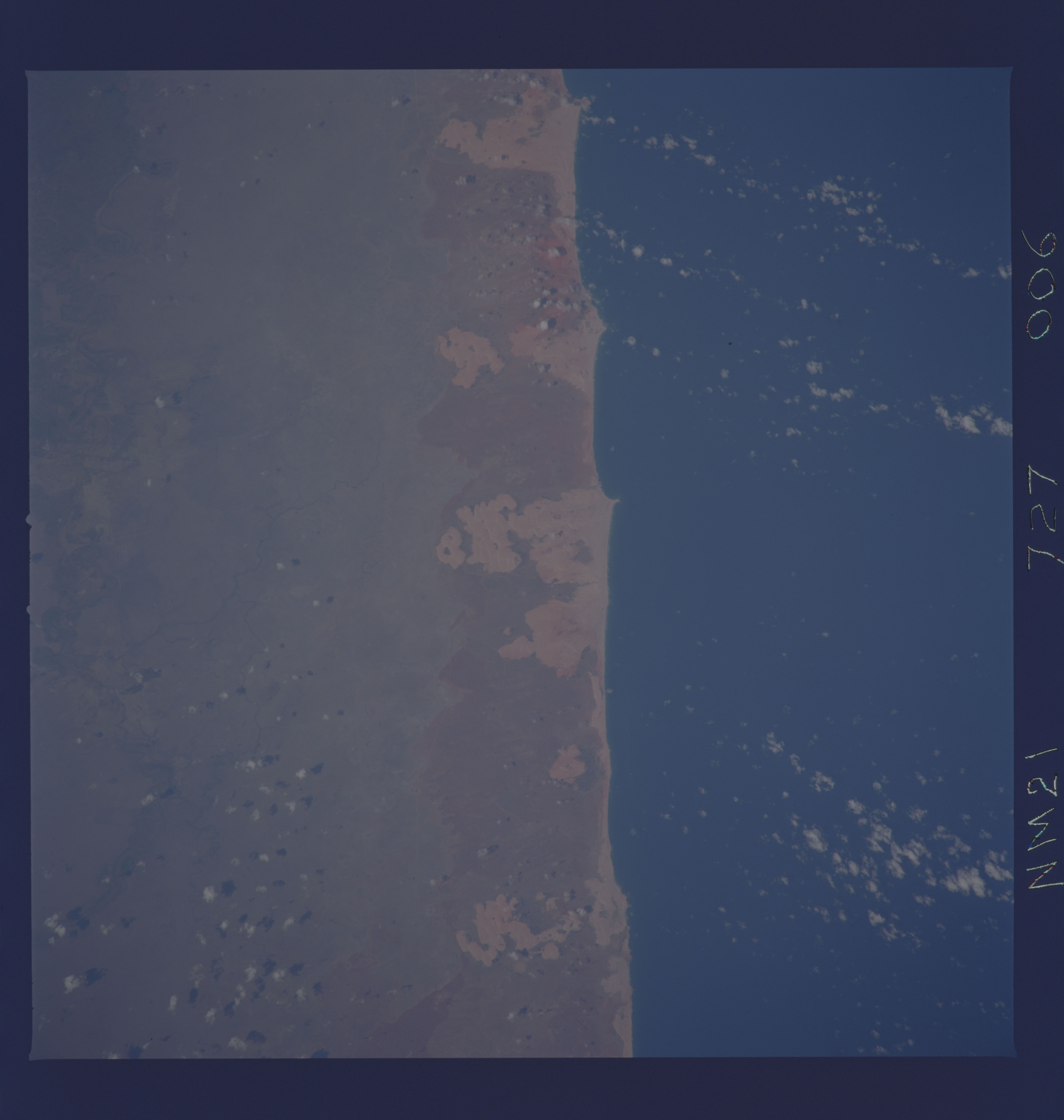
Country or Geographic Name: | SOMALIA |
Features: | COASTAL PLAIN, DUNES |
| Features Found Using Machine Learning: | |
Cloud Cover Percentage: | 5 (1-10)% |
Sun Elevation Angle: | ° |
Sun Azimuth: | ° |
Camera: | Hasselblad |
Focal Length: | 250mm |
Camera Tilt: | Low Oblique |
Format: | 5046: Kodak, natural color positive, Lumiere 100/5046, ASA 100, standard base |
Film Exposure: | Normal |
| Additional Information | |
| Width | Height | Annotated | Cropped | Purpose | Links |
|---|---|---|---|---|---|
| 5700 pixels | 6000 pixels | No | No | Download Image | |
| 500 pixels | 526 pixels | No | No | Download Image | |
| 2908 pixels | 2883 pixels | No | No | Download Image | |
| 1302 pixels | 1286 pixels | No | No | Download Image | |
| 540 pixels | 533 pixels | Download Image |
Download Packaged File
Download a Google Earth KML for this Image
View photo footprint information
Download a GeoTIFF for this photo
Image Caption: Baraawee, Somalia, March 1996. Barraawe, Somalia is located among the coastal sand dunes south of Mogadishu. A cold episode or what some have called a La Nina, was ending in the Pacific when this photo was taken. The temperatures along the west coast of equatorial South America were still slightly cooler than normal, but not more than 1 deg C, and continuing toward normal conditions.
