NASA7-710-61
| NASA Photo ID | NASA7-710-61 |
| Focal Length | 100mm |
| Date taken | 1998.03.07 |
| Time taken | GMT |
Resolutions offered for this image:
4096 x 4067 pixels 640 x 635 pixels 4400 x 4600 pixels 492 x 515 pixels 520 x 508 pixels
4096 x 4067 pixels 640 x 635 pixels 4400 x 4600 pixels 492 x 515 pixels 520 x 508 pixels

Cloud masks available for this image:
Spacecraft nadir point:
Photo center point: 38.5° S, 146.0° E
Photo center point by machine learning:
Photo center point: 38.5° S, 146.0° E
Photo center point by machine learning:
Nadir to Photo Center:
Spacecraft Altitude: nautical miles (0km)
Camera: | Hasselblad |
Focal Length: | 100mm |
Camera Tilt: | Low Oblique |
Format: | 5069: Kodak Elite 100S, E6 Reversal, Replaces Lumiere, Warmer in tone vs. Lumiere |
Film Exposure: | Normal |
| Additional Information | |
| Width | Height | Annotated | Cropped | Purpose | Links |
|---|---|---|---|---|---|
| 4096 pixels | 4067 pixels | No | No | Earth From Space collection | Download Image |
| 640 pixels | 635 pixels | No | No | Earth From Space collection | Download Image |
| 4400 pixels | 4600 pixels | No | No | Download Image | |
| 492 pixels | 515 pixels | No | No | Download Image | |
| 520 pixels | 508 pixels | Download Image |
Download Packaged File
Download a Google Earth KML for this Image
View photo footprint information
Download a GeoTIFF for this photo
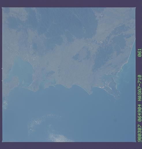
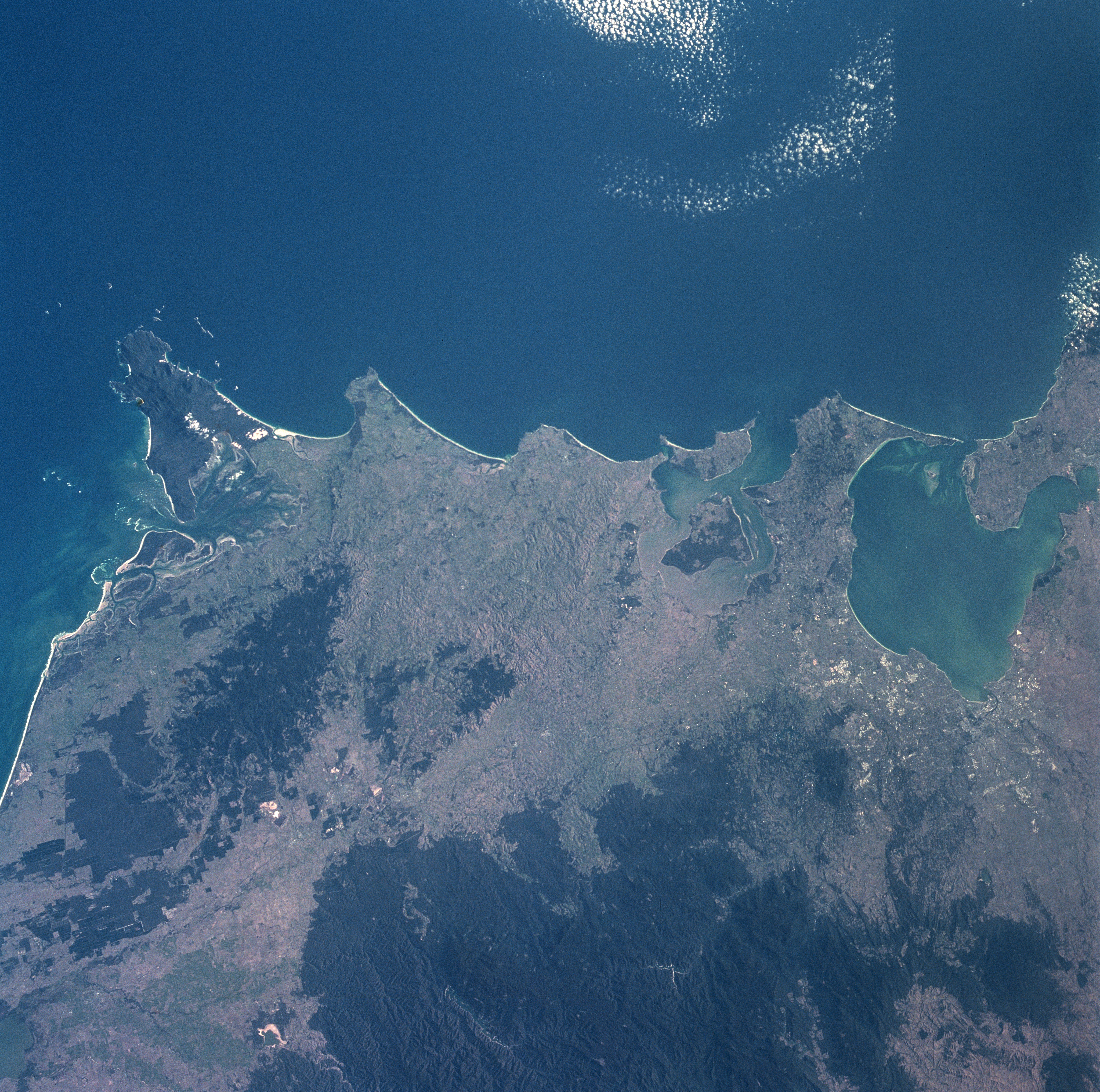
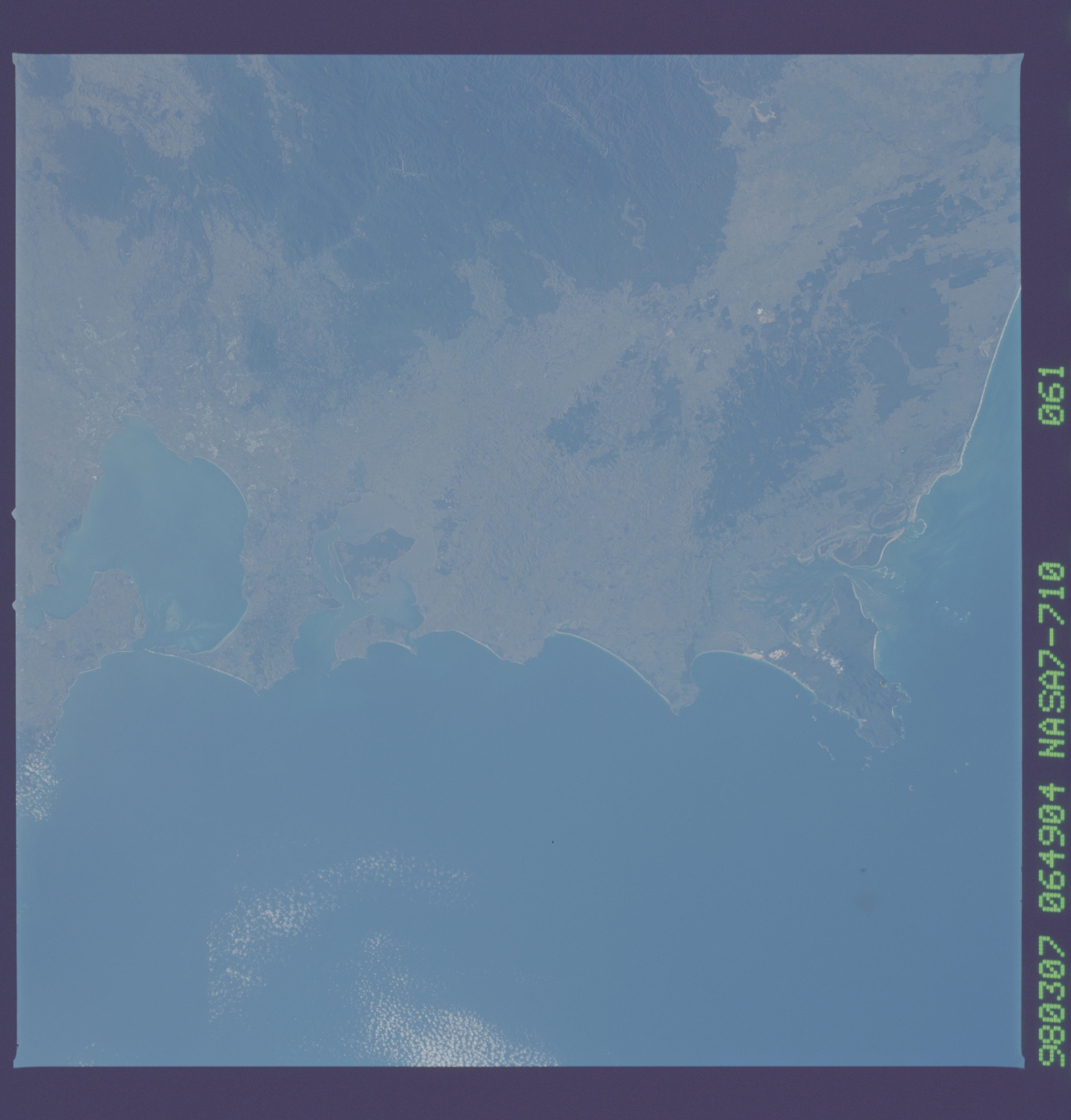
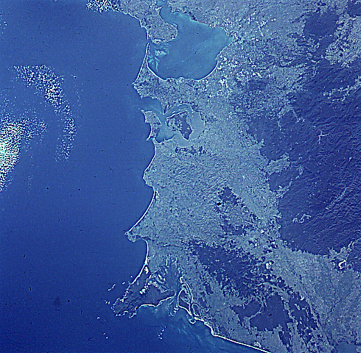
Image Caption: NASA7-710-061 Australian Alps, Victoria, Australia Winter/Spring 1998
Natural features along the southern coast of Victoria dominate this synoptic view that extends from Port Phillip Bay (upper right corner) to Ninety Mile Beach (linear feature left middle). Eastward from Port Phillip Bay the major coastal features include Western Port Bay (with French Island in the middle of the bay), Cape Paterson, Cape Liptrop, forested Wilson's Promontory (the southernmost point of land of mainland Australia), and shallow and sandy Corner Inlet (along the east side of Wilson's Promontory). The small dark area immediately north and inland of Corner Inlet is a forested, low mountain (less than 2000 feet - 610 meters above sea level). The much larger dark area (bottom center) is a more elevated, extensive mountain range, known as the Australian Alps. These mountains are also the southern extent of the Great Dividing Range that runs along almost the entire eastern margin of the Australian continent.
Natural features along the southern coast of Victoria dominate this synoptic view that extends from Port Phillip Bay (upper right corner) to Ninety Mile Beach (linear feature left middle). Eastward from Port Phillip Bay the major coastal features include Western Port Bay (with French Island in the middle of the bay), Cape Paterson, Cape Liptrop, forested Wilson's Promontory (the southernmost point of land of mainland Australia), and shallow and sandy Corner Inlet (along the east side of Wilson's Promontory). The small dark area immediately north and inland of Corner Inlet is a forested, low mountain (less than 2000 feet - 610 meters above sea level). The much larger dark area (bottom center) is a more elevated, extensive mountain range, known as the Australian Alps. These mountains are also the southern extent of the Great Dividing Range that runs along almost the entire eastern margin of the Australian continent.
