ISS067-E-301751
| NASA Photo ID | ISS067-E-301751 |
| Focal Length | 180mm |
| Date taken | 2022.08.31 |
| Time taken | 07:44:37 GMT |
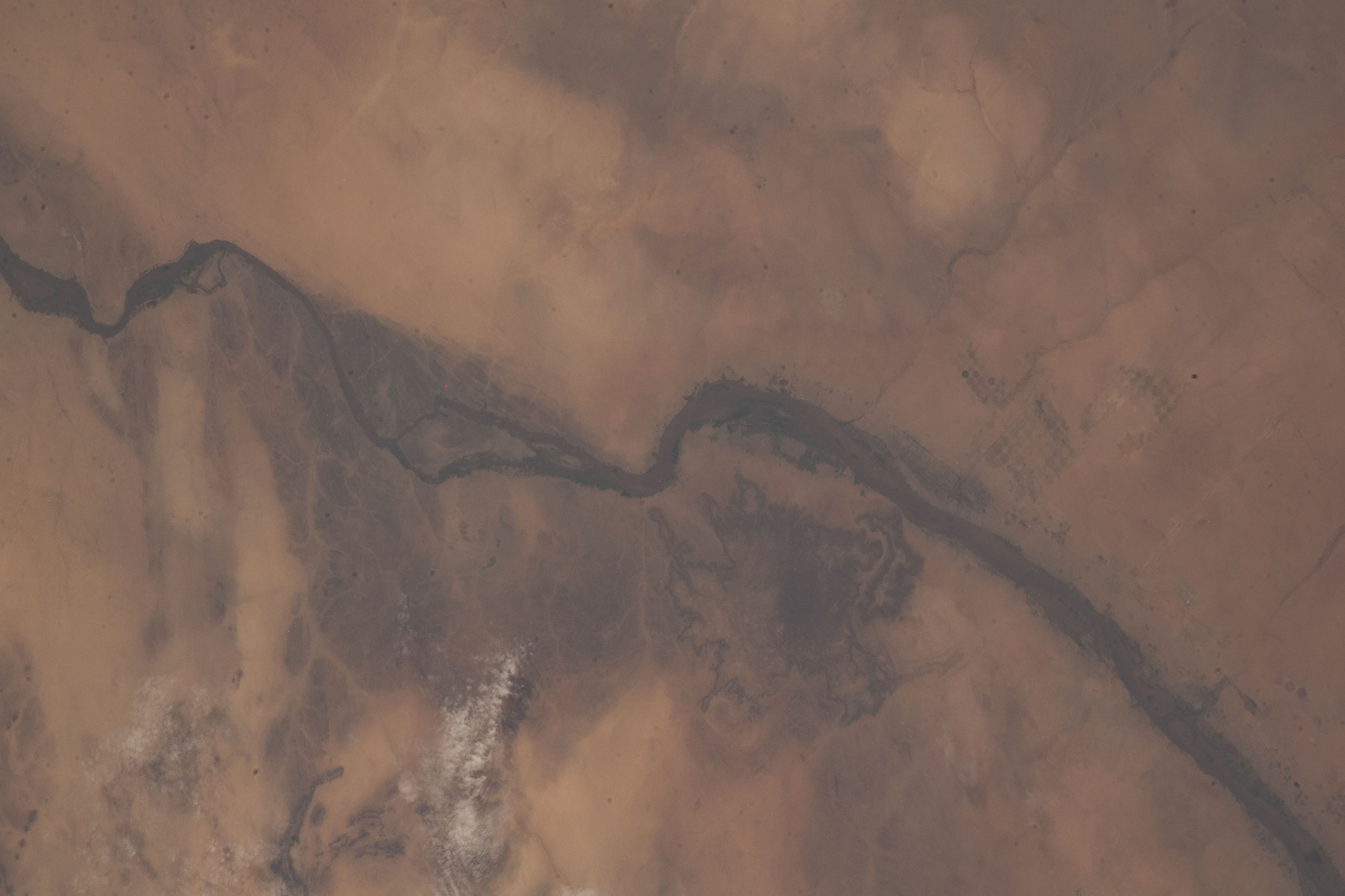


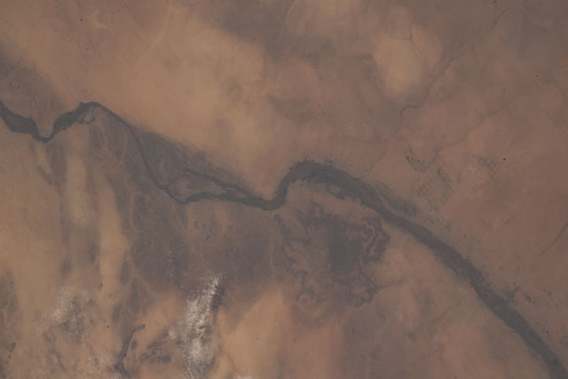
Spacecraft nadir point: 15.1° N, 36.4° E
Photo center point: 18.3° N, 33.8° E
Photo center point by machine learning:
Photo center point: 18.3° N, 33.8° E
Photo center point by machine learning:
Nadir to Photo Center: Northwest
Spacecraft Altitude: 223 nautical miles (413km)
Country or Geographic Name: | SUDAN |
Features: | RIVER, RIVER NILE, NILE RIVER, DESERT |
| Features Found Using Machine Learning: | |
Cloud Cover Percentage: | 10 (1-10)% |
Sun Elevation Angle: | 62° |
Sun Azimuth: | 100° |
Camera: | Nikon D5 Electronic Still Camera |
Focal Length: | 180mm |
Camera Tilt: | 48 degrees |
Format: | 5568E: 5568 x 3712 pixel CMOS sensor, 35.9 x 23.9 mm, total pixels: 21.33 million, Nikon FX format |
Film Exposure: | |
| Additional Information | |
| Width | Height | Annotated | Cropped | Purpose | Links |
|---|---|---|---|---|---|
| 4176 pixels | 2784 pixels | No | No | Download Image | |
| 640 pixels | 427 pixels | No | No | Download Image |
Download Packaged File
Download a Google Earth KML for this Image
View photo footprint information
Download a GeoTIFF for this photo
Georeferenced by human interaction - exported 2022-09-02-134922-UTCAn explanation of the georeference file(s) above
Image Caption: none
