ISS067-E-22517

| NASA Photo ID | ISS067-E-22517 |
| Focal Length | 190mm |
| Date taken | 2022.04.20 |
| Time taken | 09:17:58 GMT |
Cloud masks available for this image:
Spacecraft nadir point: 43.7° S, 143.6° E
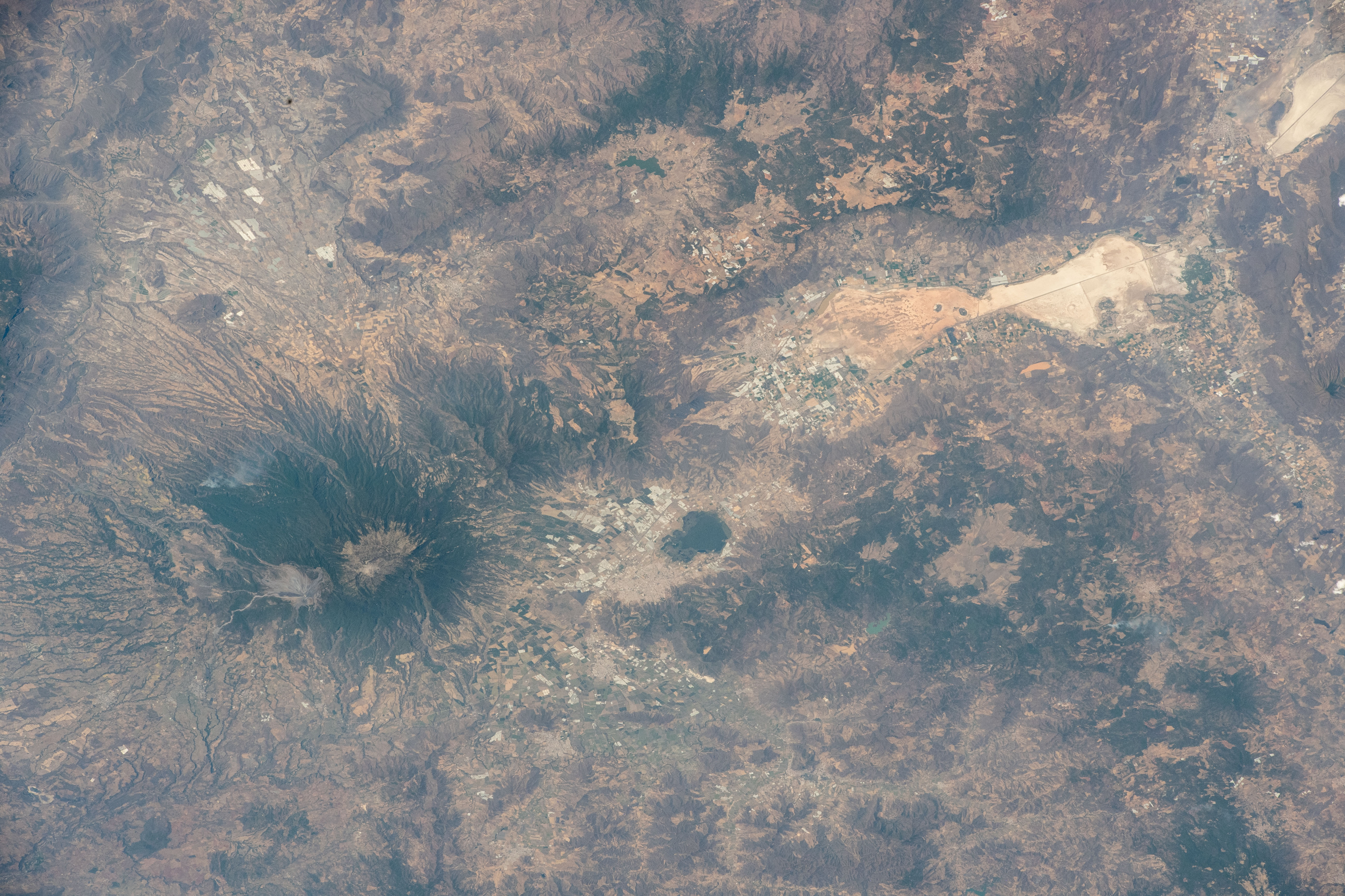
Photo center point: 19.8° N, 103.6° W
Photo center point by machine learning:
Photo center point: 19.8° N, 103.6° W
Photo center point by machine learning:
Nadir to Photo Center: Northeast
Spacecraft Altitude: 229 nautical miles (424km)
Country or Geographic Name: | MEXICO |
Features: | COLIMA VOLCANO, LAGOON, VOLCANO |
| Features Found Using Machine Learning: | |
Cloud Cover Percentage: | 10 (1-10)% |
Sun Elevation Angle: | -18° |
Sun Azimuth: | 269° |
Camera: | Nikon D5 Electronic Still Camera |
Focal Length: | 190mm |
Camera Tilt: | High Oblique |
Format: | 5568E: 5568 x 3712 pixel CMOS sensor, 35.9 x 23.9 mm, total pixels: 21.33 million, Nikon FX format |
Film Exposure: | |
| Additional Information | |
| Width | Height | Annotated | Cropped | Purpose | Links |
|---|---|---|---|---|---|
| 5568 pixels | 3712 pixels | No | No | Download Image | |
| 640 pixels | 427 pixels | No | No | Download Image |
Download Packaged File
Download a Google Earth KML for this Image
View photo footprint information
Download a GeoTIFF for this photo
Image Caption: none
