ISS062-E-102615
| NASA Photo ID | ISS062-E-102615 |
| Focal Length | 200mm |
| Date taken | 2020.03.18 |
| Time taken | 20:26:38 GMT |
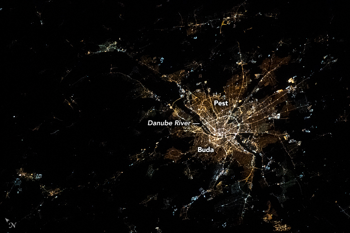
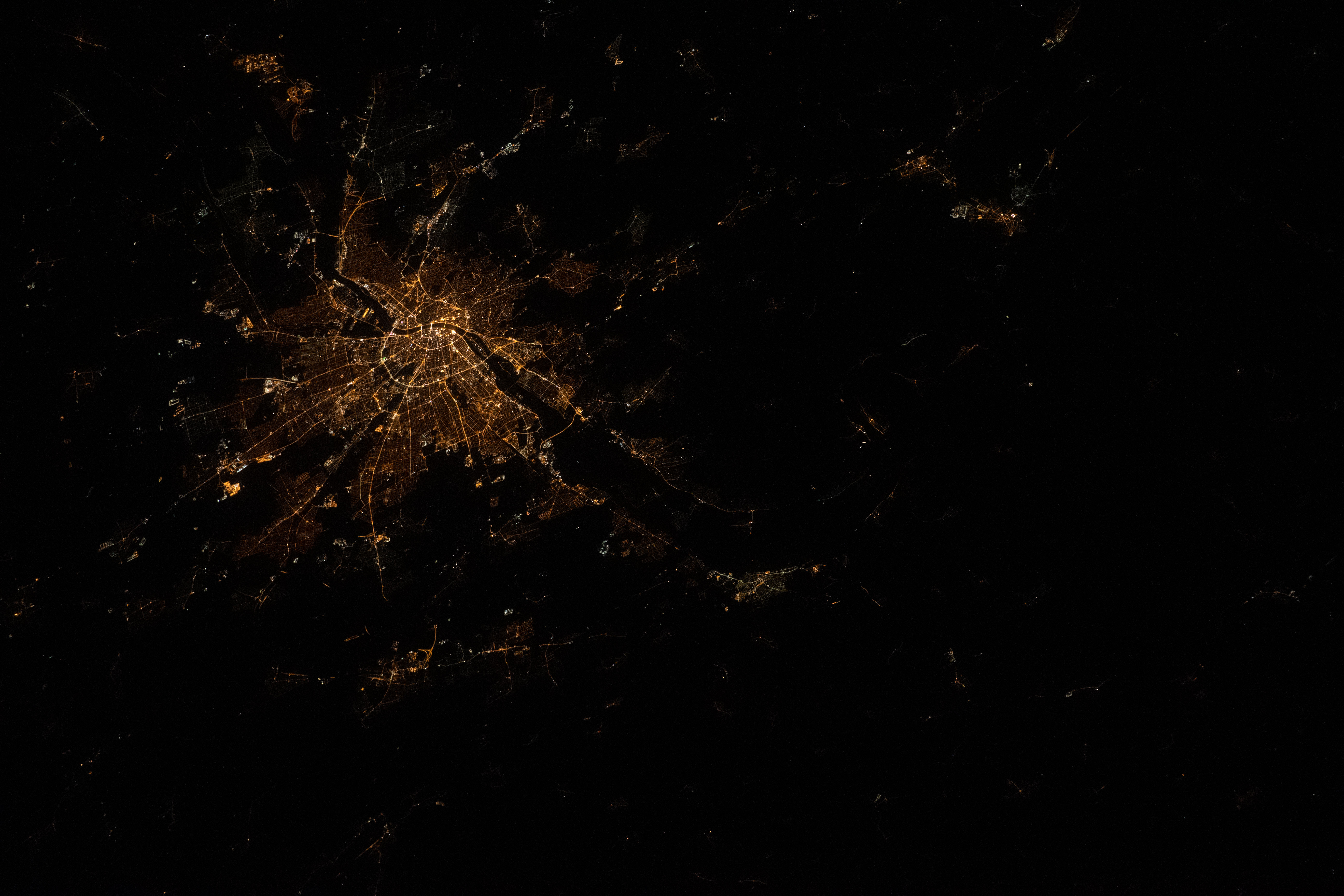
Photo center point: 47.7° N, 19.1° E
Photo center point by machine learning: 47.68° N, 19.06° E

Country or Geographic Name: | HUNGARY |
Features: | BUDAPEST |
| Features Found Using Machine Learning: | |
Cloud Cover Percentage: | 10 (1-10)% |
Sun Elevation Angle: | -33° |
Sun Azimuth: | 317° |
Camera: | Nikon D5 Electronic Still Camera |
Focal Length: | 200mm |
Camera Tilt: | 33 degrees |
Format: | 5568E: 5568 x 3712 pixel CMOS sensor, 35.9 x 23.9 mm, total pixels: 21.33 million, Nikon FX format |
Film Exposure: | |
| Additional Information | |
| Width | Height | Annotated | Cropped | Purpose | Links |
|---|---|---|---|---|---|
| 720 pixels | 480 pixels | Yes | Yes | NASA's Earth Observatory web site | Download Image |
| 5568 pixels | 3712 pixels | No | No | Download Image | |
| 640 pixels | 427 pixels | No | No | Download Image |
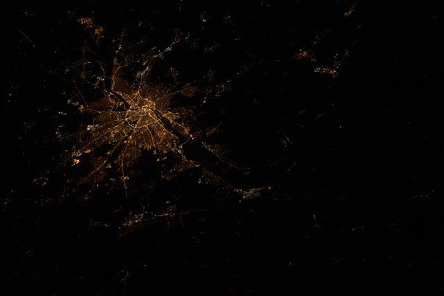
The angle of this photograph (off-nadir), shot by an astronaut from the International Space Station (ISS), provides a unique perspective on Budapest at night.
Located in central Hungary, Budapest is home to approximately 20 percent of the country's population. The core of the city is divided by the Danube River, visible here as the dark void between the central lights of the downtown areas. The Danube is Europe's second-longest river, and it flows through the city from the north and continues until it empties into the Black Sea. The two sides of Budapest are connected by several bridges visible near the city center.
The different concentrations of lights on the two sides of the river are indicative of the population and structure of the modern city. Budapest is a unification of three different cities: Buda, Pest, and Obuda (a historical city). Buda, on the west bank of the river, is more residential and compact because of the constraints of steeper terrain. Pest, on the east bank, has a flatter topography leading to a more sprawling, radial structure stretching outward from the center.
