ISS059-E-97950

| NASA Photo ID | ISS059-E-97950 |
| Focal Length | 35mm |
| Date taken | 2019.06.07 |
| Time taken | 12:20:04 GMT |
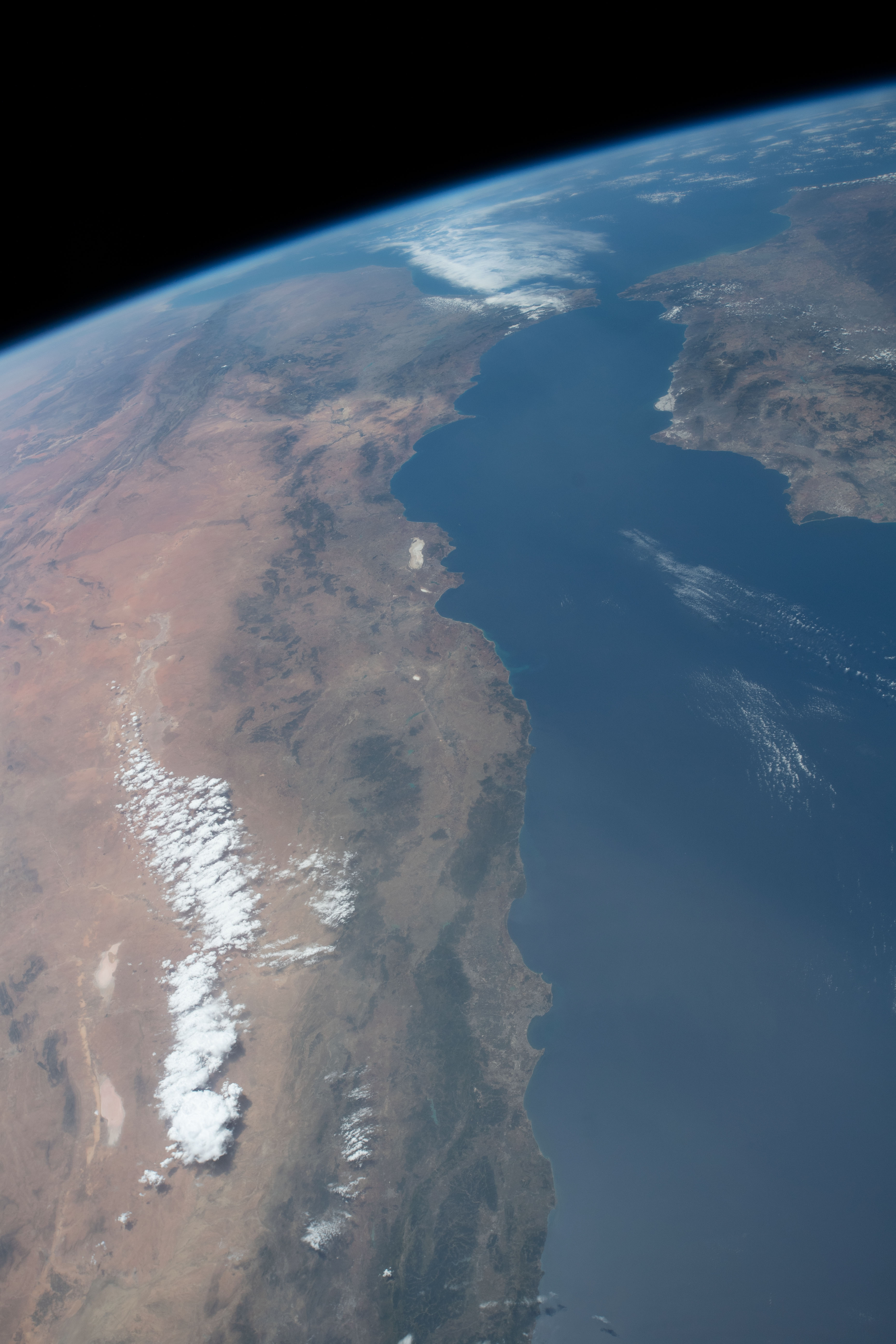


Spacecraft nadir point: 35.4° N, 2.7° E
Photo center point: 35.5° N, 0.5° E
Photo center point by machine learning:
Photo center point: 35.5° N, 0.5° E
Photo center point by machine learning:
Nadir to Photo Center: West
Spacecraft Altitude: 218 nautical miles (404km)
Country or Geographic Name: | ALGERIA |
Features: | ALBORAN SEA, ATLAS MOUNTAINS, ALGIERS, ORAN, NADOR, LIMB, SPAIN, GULF OF CADIZ |
| Features Found Using Machine Learning: | |
Cloud Cover Percentage: | 10 (1-10)% |
Sun Elevation Angle: | 76° |
Sun Azimuth: | 211° |
Camera: | Nikon D5 Electronic Still Camera |
Focal Length: | 35mm |
Camera Tilt: | 31 degrees |
Format: | 5568E: 5568 x 3712 pixel CMOS sensor, 35.9 x 23.9 mm, total pixels: 21.33 million, Nikon FX format |
Film Exposure: | |
| Additional Information | |
| Width | Height | Annotated | Cropped | Purpose | Links |
|---|---|---|---|---|---|
| 3712 pixels | 5568 pixels | No | No | Download Image | |
| 427 pixels | 640 pixels | No | No | Download Image |
Download Packaged File
Download a Google Earth KML for this Image
View photo footprint information
Download a GeoTIFF for this photo
Image Caption: CATALOGED BY THE UNIVERSITY OF TEXAS AT EL PASO
