ISS059-E-36598
| NASA Photo ID | ISS059-E-36598 |
| Focal Length | 95mm |
| Date taken | 2019.04.28 |
| Time taken | 19:12:49 GMT |
5255 x 3503 pixels 720 x 480 pixels 5568 x 3712 pixels 640 x 427 pixels
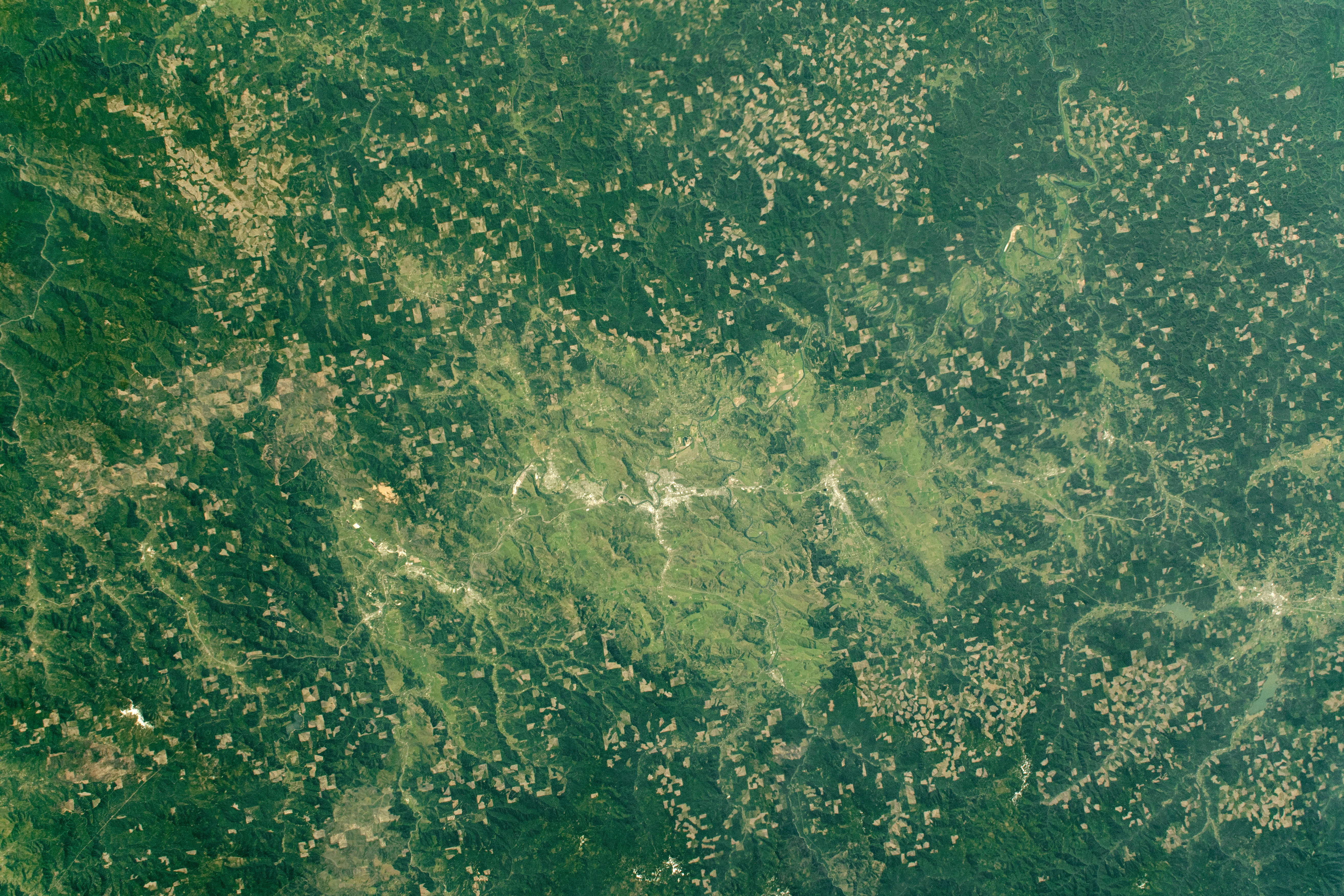
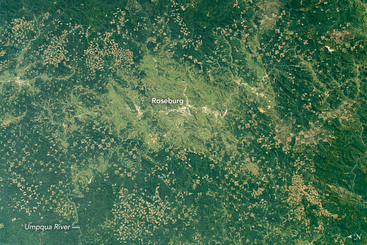


Photo center point: 43.2° N, 123.5° W
Photo center point by machine learning:
Country or Geographic Name: | USA-OREGON |
Features: | AGRICULTURE, ROSEBURG |
| Features Found Using Machine Learning: | |
Cloud Cover Percentage: | 10 (1-10)% |
Sun Elevation Angle: | 59° |
Sun Azimuth: | 150° |
Camera: | Nikon D5 Electronic Still Camera |
Focal Length: | 95mm |
Camera Tilt: | 20 degrees |
Format: | 5568E: 5568 x 3712 pixel CMOS sensor, 35.9 x 23.9 mm, total pixels: 21.33 million, Nikon FX format |
Film Exposure: | |
| Additional Information | |
| Width | Height | Annotated | Cropped | Purpose | Links |
|---|---|---|---|---|---|
| 5255 pixels | 3503 pixels | No | No | NASA's Earth Observatory web site | Download Image |
| 720 pixels | 480 pixels | Yes | No | NASA's Earth Observatory web site | Download Image |
| 5568 pixels | 3712 pixels | No | No | Download Image | |
| 640 pixels | 427 pixels | No | No | Download Image |
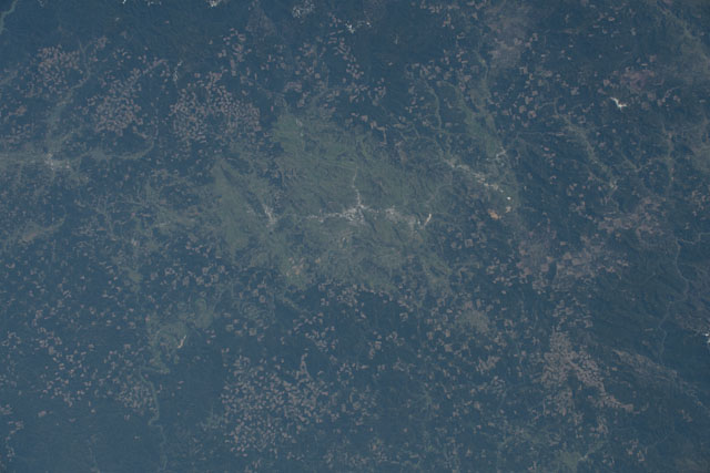
This photograph, taken by an astronaut on the International Space Station, highlights the distinctive patterns etched into the forests surrounding the town of Roseburg, Oregon. Roseburg is located west of the Cascade Range, bordering the western edge of the Umpqua National Forest. Western Oregon is dominated by evergreen forests, specifically the Douglas-fir, Oregon's state tree. Most of these forests are managed by either the federal government or private landowners, mostly for timber production.
The checkerboard pattern is the result of the land use history of parcels previously owned by the Oregon and California (O&C) Railroad from the 1860s to the 1930s. The O&C lands were originally granted every other square mile and interspersed with privately owned land, within 20 to 30 miles (32 to 48 kilometers) of each side of a proposed railroad line.
Since 1946, the O&C lands have been administered by the Bureau of Land Management (BLM) and the U.S. Forest Service. Most of these federal lands are now forested and appear dark green. The brown patches adjacent to them are privately owned lands with more intensive timber harvesting.
The sizes and shapes of the cleared land conforms to the topography of the area or are cut to adhere to stream and wetland buffers, wildlife habitats, or logging roads. Oregon limits clear-cuts to 120 acres (49 hectares), and the adjacent patches under the same ownership cannot be cleared until the reseeded trees in the original harvest site are well established. The state follows reforestation rules put in place to ensure a sustainable cycle of harvesting.
