ISS059-E-116018
| NASA Photo ID | ISS059-E-116018 |
| Focal Length | 35mm |
| Date taken | 2019.06.20 |
| Time taken | 15:43:52 GMT |
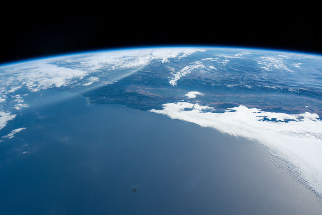
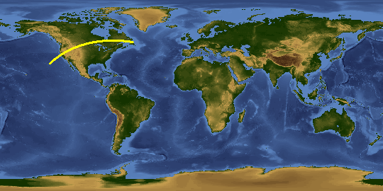
Spacecraft nadir point: 31.9° N, 131.1° W
Photo center point: 29.4° N, 115.0° W
Photo center point by machine learning:
Photo center point: 29.4° N, 115.0° W
Photo center point by machine learning:
Nadir to Photo Center: East
Spacecraft Altitude: 218 nautical miles (404km)
Country or Geographic Name: | MEXICO |
Features: | RANGER BANK, SAN QUINTIN BASIN, WAGNER BASIN, PUERTO CANOAS |
| Features Found Using Machine Learning: | PAN- |
Cloud Cover Percentage: | 50 (26-50)% |
Sun Elevation Angle: | 24° |
Sun Azimuth: | 76° |
Camera: | Nikon D5 Electronic Still Camera |
Focal Length: | 35mm |
Camera Tilt: | High Oblique |
Format: | 5568E: 5568 x 3712 pixel CMOS sensor, 35.9 x 23.9 mm, total pixels: 21.33 million, Nikon FX format |
Film Exposure: | |
| Additional Information | |
This photo is one of the photos used to create this time-lapse video:
| Width | Height | Annotated | Cropped | Purpose | Links |
|---|---|---|---|---|---|
| 5568 pixels | 3712 pixels | No | No | Download Image | |
| 640 pixels | 427 pixels | No | No | Download Image |
Download Packaged File
Download a Google Earth KML for this Image
View photo footprint information
Download a GeoTIFF for this photo
Image Caption: CATALOGED BY UT-BROWNSVILLE/STARGATE
