ISS056-E-6115

| NASA Photo ID | ISS056-E-6115 |
| Focal Length | 1600mm |
| Date taken | 2018.06.07 |
| Time taken | 21:13:48 GMT |
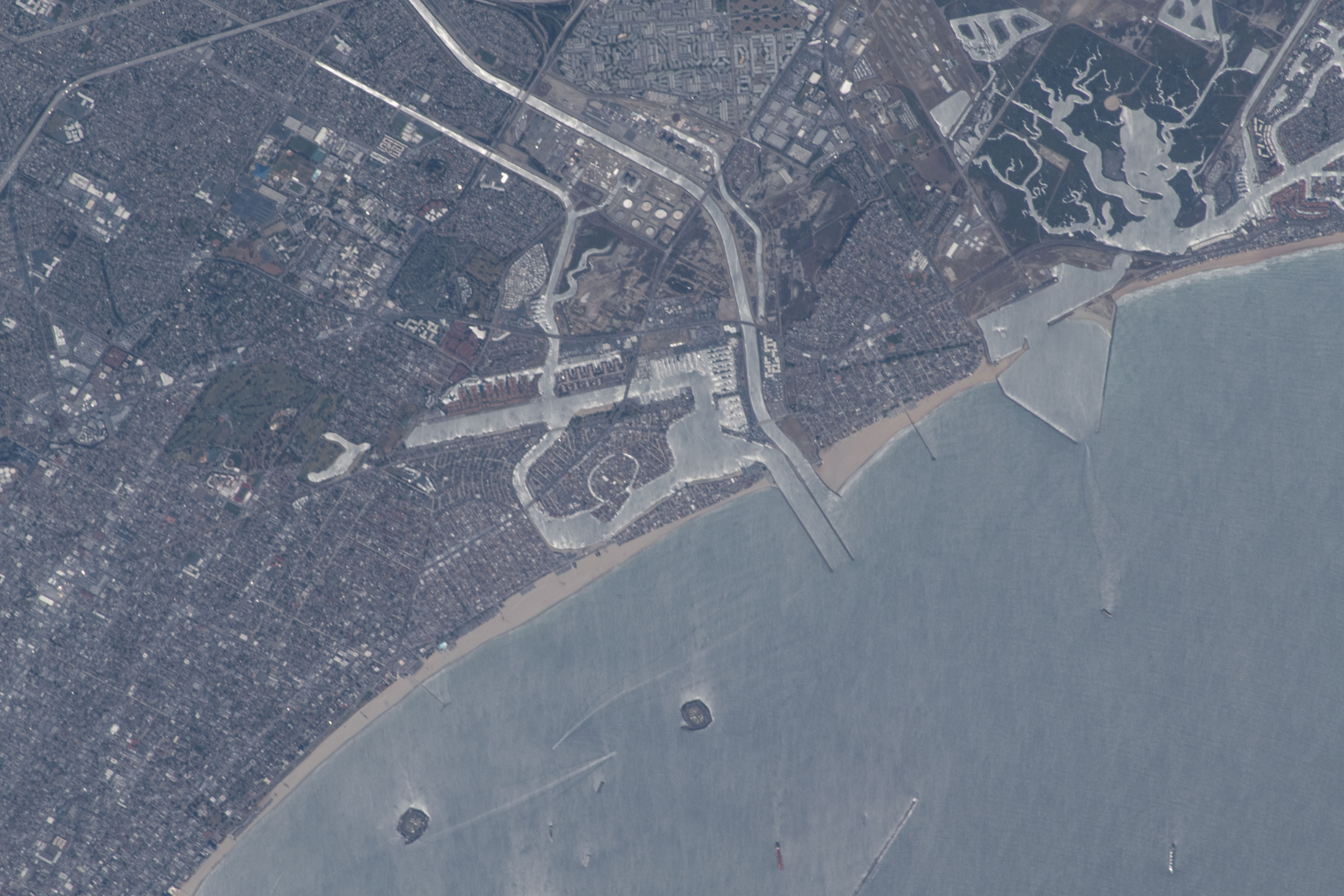


Spacecraft nadir point: 34.4° N, 116.9° W
Photo center point: 33.7° N, 118.1° W
Photo center point by machine learning:
Photo center point: 33.7° N, 118.1° W
Photo center point by machine learning:
Nadir to Photo Center: Southwest
Spacecraft Altitude: 217 nautical miles (402km)
Country or Geographic Name: | USA-CALIFORNIA |
Features: | SEAL BEACH , HOG ISLAND , SEAL BEACH NATIONAL WILDLIFE REFUGE , CHAFFEE ISLAND , WHITE ISLAND |
| Features Found Using Machine Learning: | |
Cloud Cover Percentage: | 10 (1-10)% |
Sun Elevation Angle: | 68° |
Sun Azimuth: | 245° |
Camera: | Nikon D5 Electronic Still Camera |
Focal Length: | 1600mm |
Camera Tilt: | 21 degrees |
Format: | 5568E: 5568 x 3712 pixel CMOS sensor, 35.9 x 23.9 mm, total pixels: 21.33 million, Nikon FX format |
Film Exposure: | |
| Additional Information | |
| Width | Height | Annotated | Cropped | Purpose | Links |
|---|---|---|---|---|---|
| 5568 pixels | 3712 pixels | No | No | Download Image | |
| 640 pixels | 427 pixels | No | No | Download Image |
Download Packaged File
Download a Google Earth KML for this Image
View photo footprint information
Download a GeoTIFF for this photo
Image Caption: CATALOGED BY TEXAS STATE UNIVERSITY
