ISS056-E-5107
| NASA Photo ID | ISS056-E-5107 |
| Focal Length | 1600mm |
| Date taken | 2018.06.04 |
| Time taken | 23:41:49 GMT |
3712 x 4898 pixels 720 x 950 pixels 3712 x 5568 pixels 427 x 640 pixels
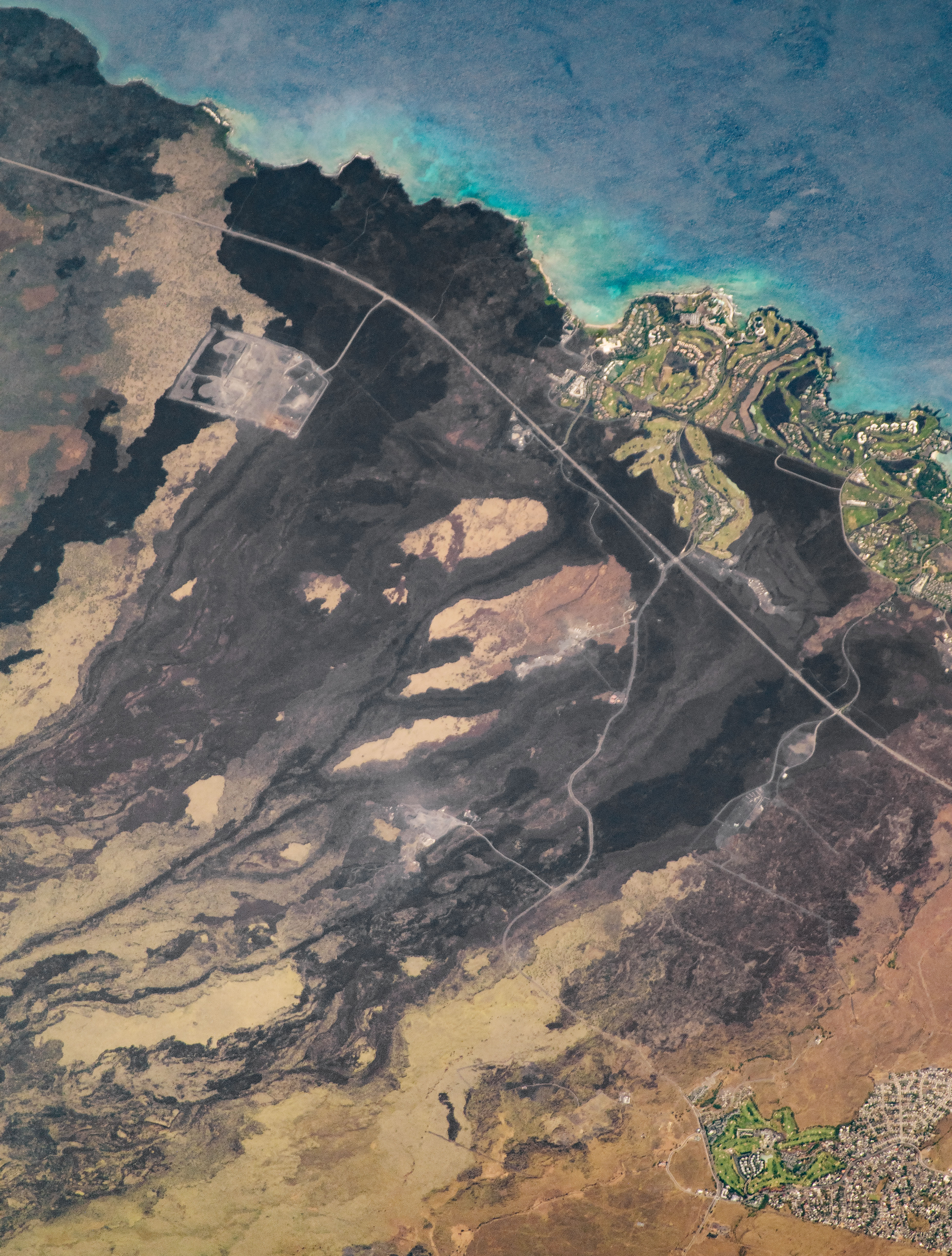
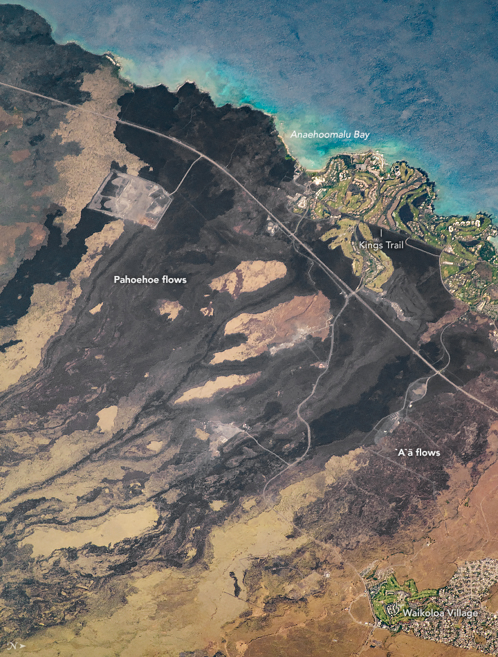


Photo center point: 19.9° N, 155.9° W
Photo center point by machine learning:
Country or Geographic Name: | USA-HAWAII |
Features: | HAWAII, POHAKULUA, WAIKOLOA VILLAGE, VOLCANO, BASALT FLOWS |
| Features Found Using Machine Learning: | |
Cloud Cover Percentage: | 10 (1-10)% |
Sun Elevation Angle: | 68° |
Sun Azimuth: | 282° |
Camera: | Nikon D5 Electronic Still Camera |
Focal Length: | 1600mm |
Camera Tilt: | 41 degrees |
Format: | 5568E: 5568 x 3712 pixel CMOS sensor, 35.9 x 23.9 mm, total pixels: 21.33 million, Nikon FX format |
Film Exposure: | |
| Additional Information | |
| Width | Height | Annotated | Cropped | Purpose | Links |
|---|---|---|---|---|---|
| 3712 pixels | 4898 pixels | No | No | NASA's Earth Observatory web site | Download Image |
| 720 pixels | 950 pixels | Yes | No | NASA's Earth Observatory web site | Download Image |
| 3712 pixels | 5568 pixels | No | No | Download Image | |
| 427 pixels | 640 pixels | No | No | Download Image |
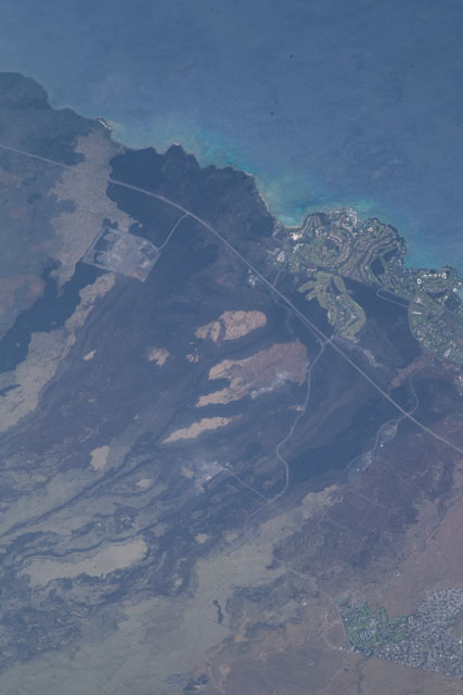
An astronaut aboard the International Space Station shot this photograph of historical lava flows on the island of Hawai'i. Several villages in the area are underlain by lavas erupted from radial vents on the northwestern side of Mauna Loa volcano.
An eruption in 1859 produced an 'a'ā lava flow that destroyed a village and entered the ocean. The eruption lasted for about a year and also produced pāhoehoe flows that entered the ocean near Ohiki Bay and Pueo Bay.
The island of Hawai'i is divided into nine hazard risk zones, each based on the proximity to volcanic summits and rift zones, frequency and area of lava coverage, and topography. Zone 1 represents the greatest hazard risk, but Waikoloa stands in a less hazardous zone 3 due to the greater distances from the summit and rift zones of Mauna Loa.
The region near Waikoloa is known for its thriving aquaculture, particularly at the Anchialine Ponds. Native to the state of Hawaii, these natural ponds form in inland lava depressions and connect to the groundwater table near the shore. They contain brackish water but no visible connection to the ocean. These pools range from small lava cracks to large fishing ponds and are home to multiple species of rare invertebrates, many of which are endemic to the Hawaiian Islands.
This area is also home to the Ala Mamalahoa (King's Trail), part of the 175-mile long Ala Kahakai National Historic Trail that runs along the coastline of Hawai'i. The Ala Mahamaloa predates western contact with the island (1778), but it was rebuilt and paved with stone in 1840. One of the main attractions is the collection of ancient petroglyphs, which show the closest thing to a written language that the ancient Hawaiians used.
