ISS056-E-158541
| NASA Photo ID | ISS056-E-158541 |
| Focal Length | 1600mm |
| Date taken | 2018.08.28 |
| Time taken | 10:44:22 GMT |


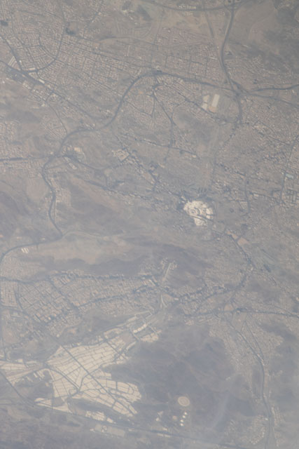
Spacecraft nadir point: 21.5° N, 42.8° E
Photo center point: 21.4° N, 39.8° E
Photo center point by machine learning:
Photo center point: 21.4° N, 39.8° E
Photo center point by machine learning:
Nadir to Photo Center: West
Spacecraft Altitude: 216 nautical miles (400km)
Country or Geographic Name: | SAUDI ARABIA |
Features: | GREAT MOSQUE OF MECCA |
| Features Found Using Machine Learning: | |
Cloud Cover Percentage: | 10 (1-10)% |
Sun Elevation Angle: | 64° |
Sun Azimuth: | 246° |
Camera: | Nikon D5 Electronic Still Camera |
Focal Length: | 1600mm |
Camera Tilt: | 40 degrees |
Format: | 5568E: 5568 x 3712 pixel CMOS sensor, 35.9 x 23.9 mm, total pixels: 21.33 million, Nikon FX format |
Film Exposure: | |
| Additional Information | |
| Width | Height | Annotated | Cropped | Purpose | Links |
|---|---|---|---|---|---|
| 3712 pixels | 5568 pixels | No | No | Download Image | |
| 427 pixels | 640 pixels | No | No | Download Image |
Download Packaged File
Download a Google Earth KML for this Image
View photo footprint information
Download a GeoTIFF for this photo
Image Caption: CATALOGED BY TEXAS STATE UNIVERSITY
