ISS056-E-100602

| NASA Photo ID | ISS056-E-100602 |
| Focal Length | 800mm |
| Date taken | 2018.07.30 |
| Time taken | 11:22:21 GMT |


Spacecraft nadir point: 21.5° S, 26.3° E
Photo center point: 17.9° S, 25.9° E
Photo center point by machine learning:
Photo center point: 17.9° S, 25.9° E
Photo center point by machine learning:
Nadir to Photo Center: North
Spacecraft Altitude: 219 nautical miles (406km)
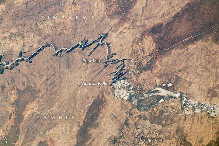
Country or Geographic Name: | ZIMBABWE |
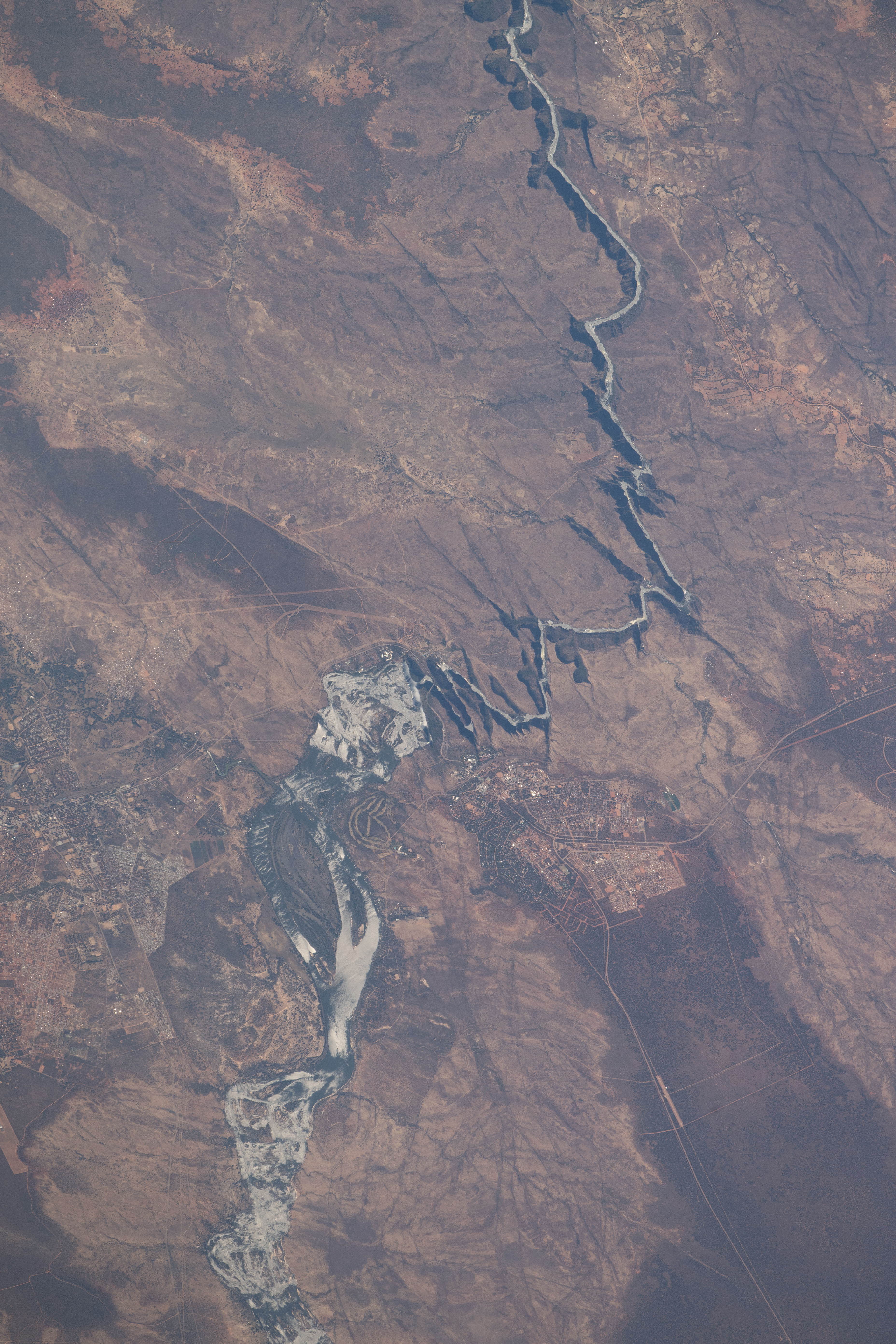
Features: | VICTORIA FALLS, ZAMBEZI RIVER |
| Features Found Using Machine Learning: | |
Cloud Cover Percentage: | 10 (1-10)% |
Sun Elevation Angle: | 47° |
Sun Azimuth: | 338° |
Camera: | Nikon D5 Electronic Still Camera |
Focal Length: | 800mm |
Camera Tilt: | 45 degrees |
Format: | 5568E: 5568 x 3712 pixel CMOS sensor, 35.9 x 23.9 mm, total pixels: 21.33 million, Nikon FX format |
Film Exposure: | |
| Additional Information | |
| Width | Height | Annotated | Cropped | Purpose | Links |
|---|---|---|---|---|---|
| 720 pixels | 480 pixels | Yes | Yes | NASA's Earth Observatory web site | Download Image |
| 3712 pixels | 5568 pixels | No | No | Download Image | |
| 427 pixels | 640 pixels | No | No | Download Image |
Download Packaged File
Download a Google Earth KML for this Image
View photo footprint information
Download a GeoTIFF for this photo
Image Caption: none
