ISS055-E-7476
| NASA Photo ID | ISS055-E-7476 |
| Focal Length | 1150mm |
| Date taken | 2018.04.01 |
| Time taken | 01:10:29 GMT |
Resolutions offered for this image:
3712 x 5568 pixels 720 x 878 pixels 5568 x 3712 pixels 640 x 427 pixels
3712 x 5568 pixels 720 x 878 pixels 5568 x 3712 pixels 640 x 427 pixels
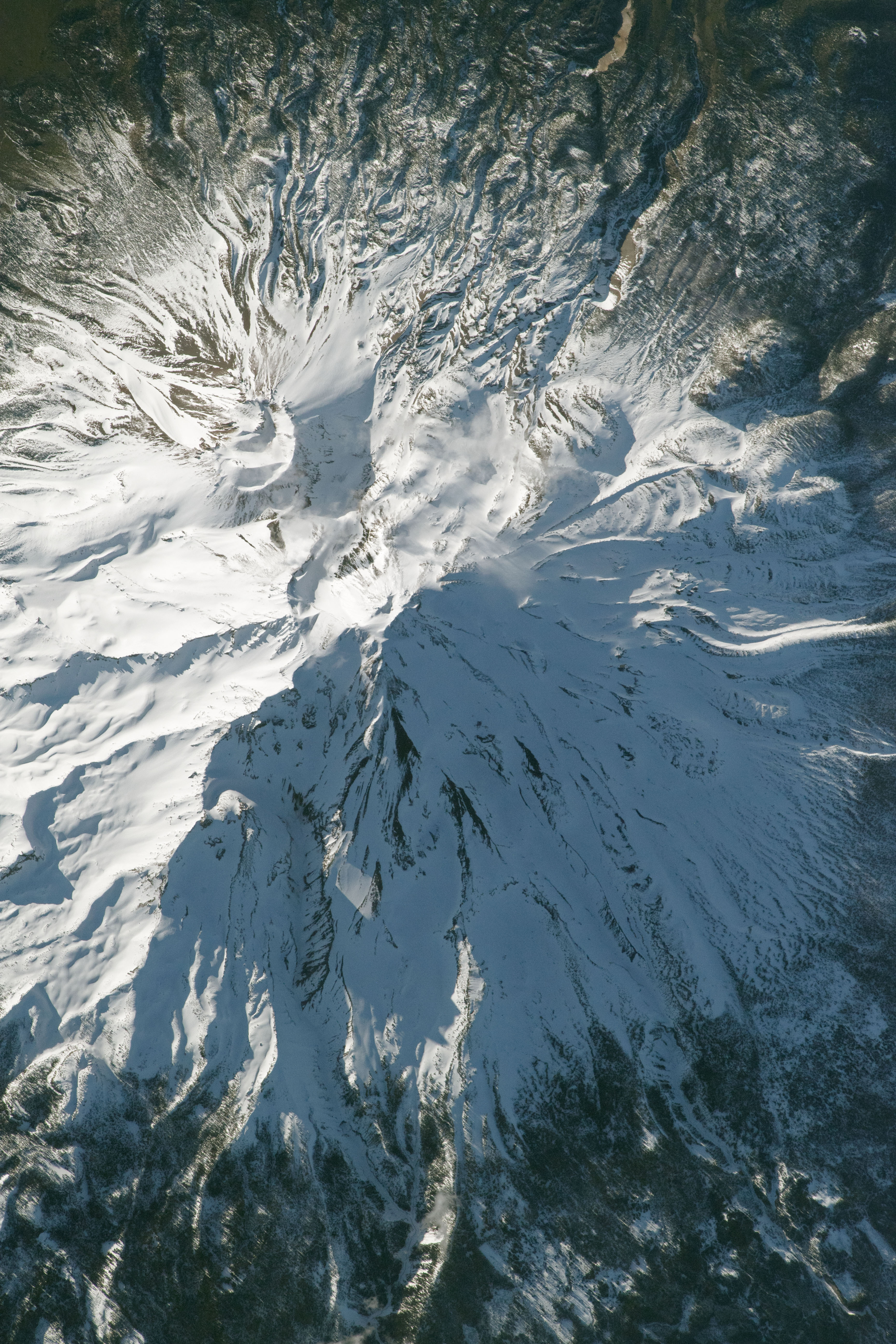
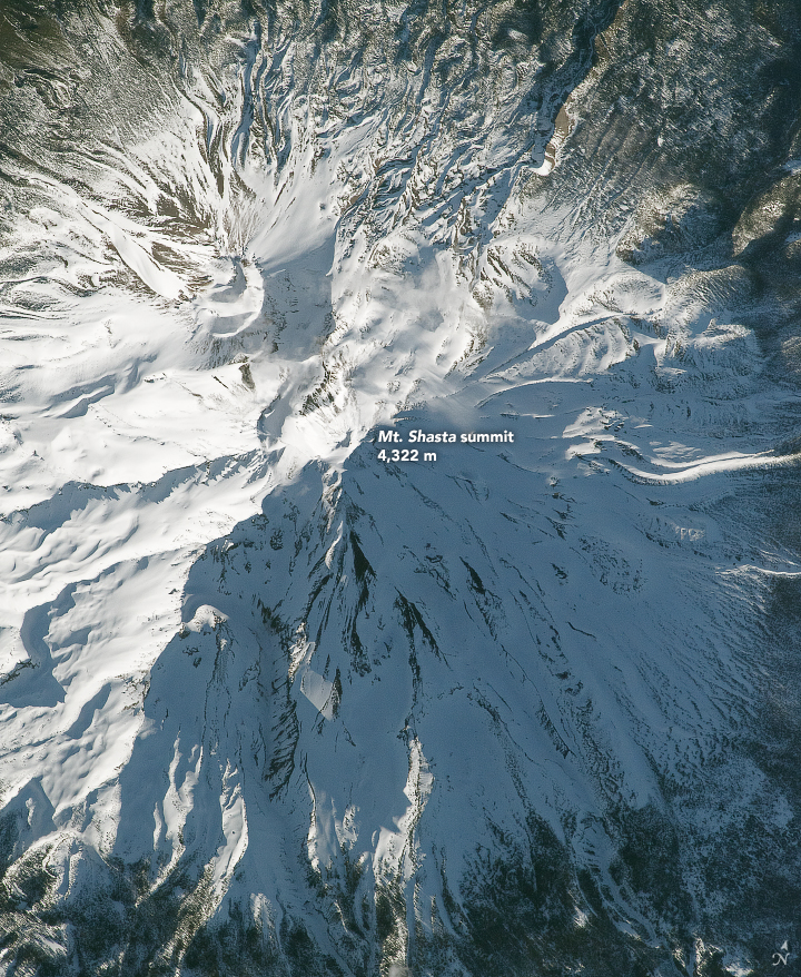


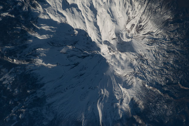
Spacecraft nadir point: 40.3° N, 121.9° W
Photo center point: 41.4° N, 122.2° W
Photo center point by machine learning:
Photo center point: 41.4° N, 122.2° W
Photo center point by machine learning:
Nadir to Photo Center: North
Spacecraft Altitude: 216 nautical miles (400km)
Country or Geographic Name: | USA-CALIFORNIA |
Features: | MT. SHASTA |
| Features Found Using Machine Learning: | |
Cloud Cover Percentage: | 10 (1-10)% |
Sun Elevation Angle: | 15° |
Sun Azimuth: | 263° |
Camera: | Nikon D5 Electronic Still Camera |
Focal Length: | 1150mm |
Camera Tilt: | 18 degrees |
Format: | 5568E: 5568 x 3712 pixel CMOS sensor, 35.9 x 23.9 mm, total pixels: 21.33 million, Nikon FX format |
Film Exposure: | |
| Additional Information | |
| Width | Height | Annotated | Cropped | Purpose | Links |
|---|---|---|---|---|---|
| 3712 pixels | 5568 pixels | No | No | NASA's Earth Observatory web site | Download Image |
| 720 pixels | 878 pixels | Yes | Yes | NASA's Earth Observatory web site | Download Image |
| 5568 pixels | 3712 pixels | No | No | Download Image | |
| 640 pixels | 427 pixels | No | No | Download Image |
Download Packaged File
Download a Google Earth KML for this Image
View photo footprint information
Download a GeoTIFF for this photo
Image Caption: none
