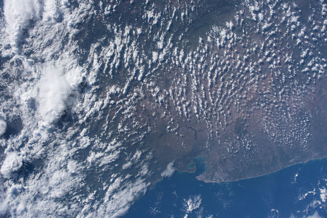
ISS054-E-54969
| NASA Photo ID | ISS054-E-54969 |
| Focal Length | 24mm |
| Date taken | 2018.02.25 |
| Time taken | 19:14:53 GMT |
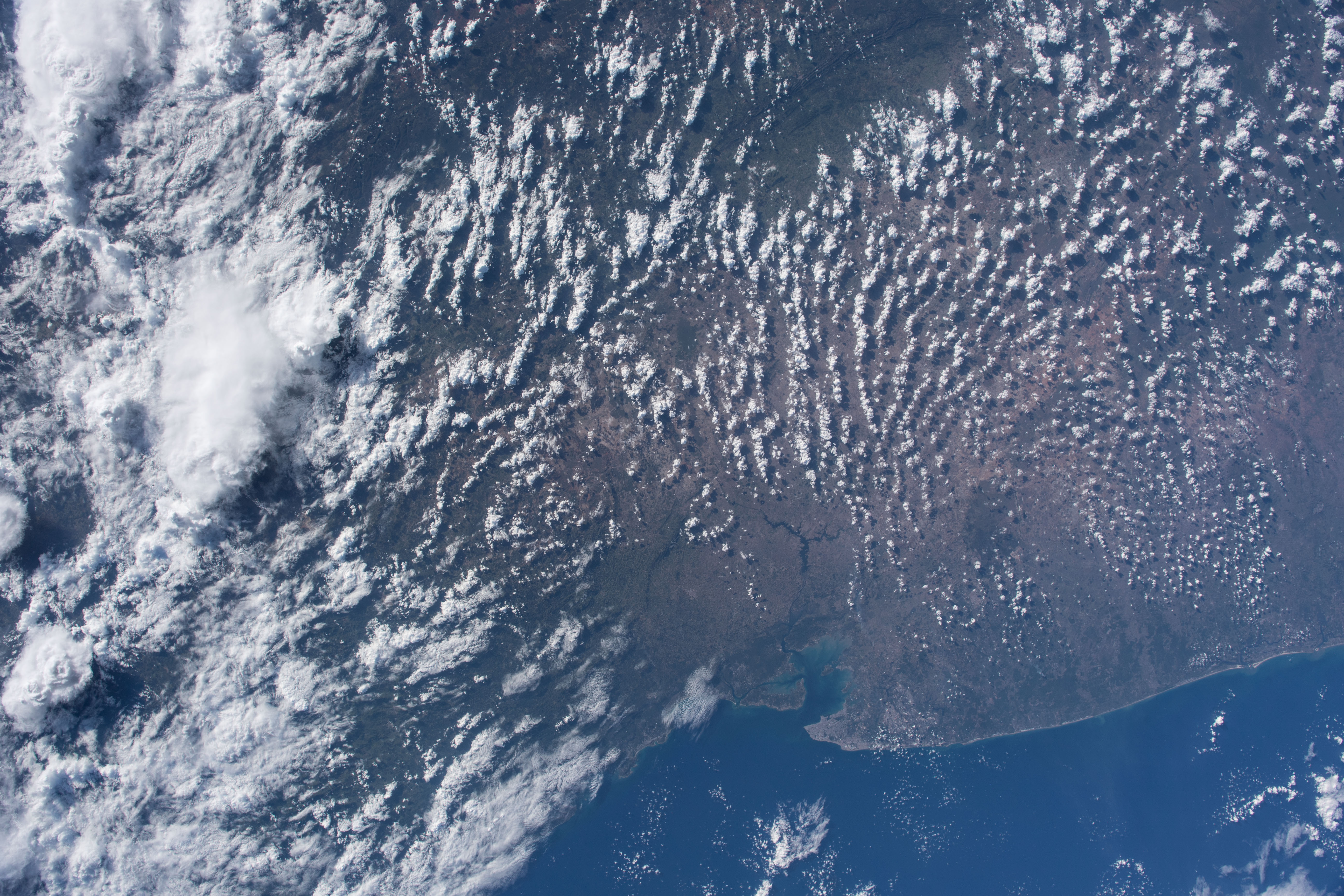
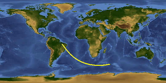
Spacecraft nadir point: 14.3° S, 38.8° W
Photo center point: 12.5° S, 39.9° W
Photo center point by machine learning:
Photo center point: 12.5° S, 39.9° W
Photo center point by machine learning:
Nadir to Photo Center: Northwest
Spacecraft Altitude: 219 nautical miles (406km)
Camera: | Nikon D5 Electronic Still Camera |
Focal Length: | 24mm |
Camera Tilt: | Low Oblique |
Format: | 5568E: 5568 x 3712 pixel CMOS sensor, 35.9 x 23.9 mm, total pixels: 21.33 million, Nikon FX format |
Film Exposure: | |
| Additional Information | |
This photo is one of the photos used to create this time-lapse video:
| Width | Height | Annotated | Cropped | Purpose | Links |
|---|---|---|---|---|---|
| 5568 pixels | 3712 pixels | No | No | Download Image | |
| 640 pixels | 427 pixels | No | No | Download Image |
Download Packaged File
Download a Google Earth KML for this Image
View photo footprint information
Download a GeoTIFF for this photo
Image Caption: CATALOGED BY UT-BROWNSVILLE/STARGATE
