ISS053-E-127294
| NASA Photo ID | ISS053-E-127294 |
| Focal Length | 50mm |
| Date taken | 2017.10.23 |
| Time taken | 12:51:36 GMT |
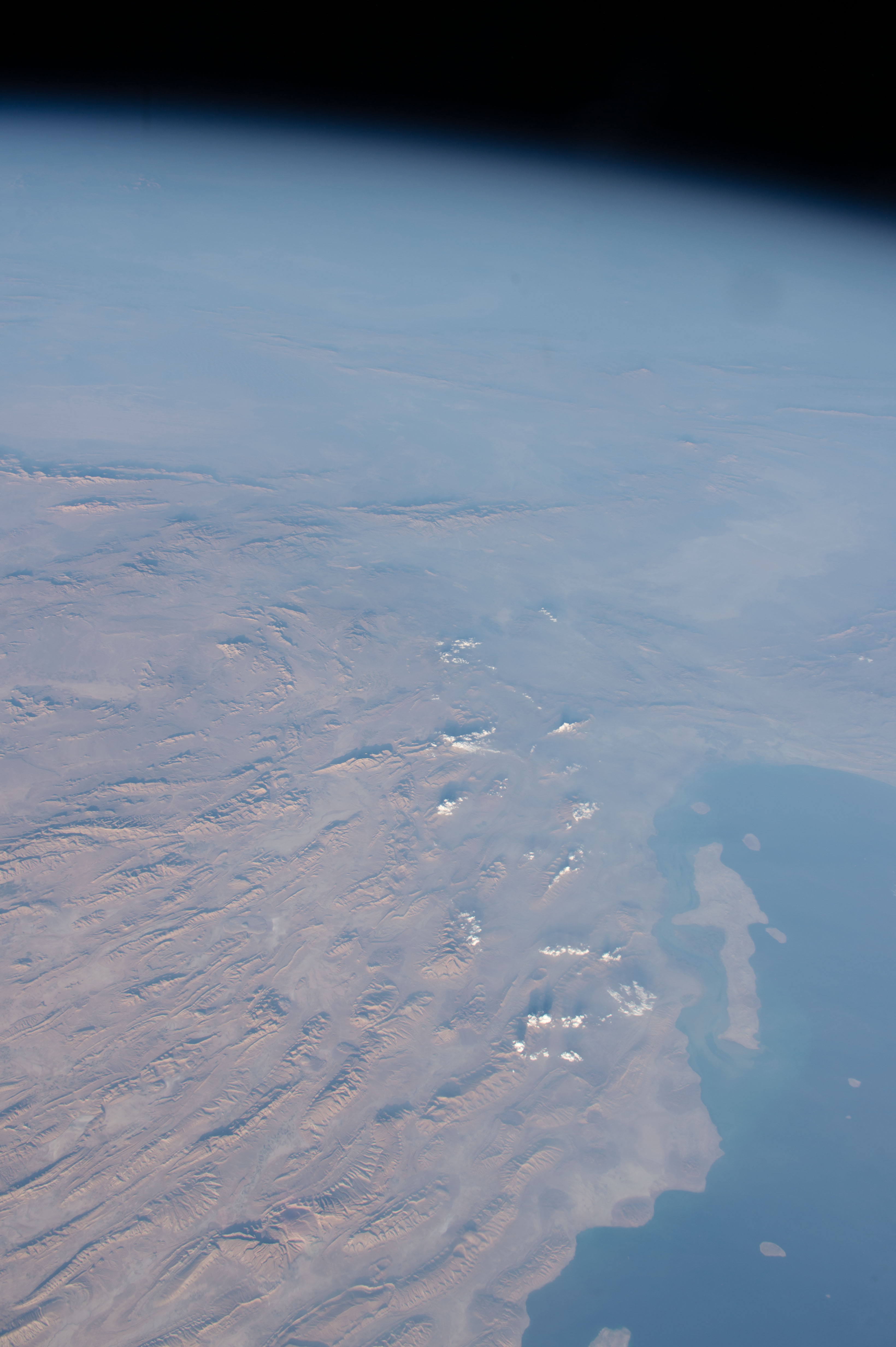


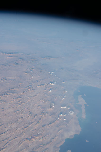
Spacecraft nadir point: 25.3° N, 51.6° E
Photo center point: 28.0° N, 58.0° E
Photo center point by machine learning:
Photo center point: 28.0° N, 58.0° E
Photo center point by machine learning:
Nadir to Photo Center: East
Spacecraft Altitude: 217 nautical miles (402km)
Country or Geographic Name: | IRAN |
Features: | PAN- ZAGROS MOUNTAINS, BANDAR ABBAS, QUSHM ISLAND, STRAIT OF HORMUZ |
| Features Found Using Machine Learning: | PAN- |
Cloud Cover Percentage: | 10 (1-10)% |
Sun Elevation Angle: | 14° |
Sun Azimuth: | 250° |
Camera: | Nikon D4 Electronic Still Camera |
Focal Length: | 50mm |
Camera Tilt: | High Oblique |
Format: | 4928E: 4928 x 3280 pixel CMOS sensor, 36.0mm x 23.9mm, total pixels: 16.6 million, Nikon FX format |
Film Exposure: | |
| Additional Information | |
| Width | Height | Annotated | Cropped | Purpose | Links |
|---|---|---|---|---|---|
| 3280 pixels | 4928 pixels | No | No | Download Image | |
| 426 pixels | 640 pixels | No | No | Download Image |
Download Packaged File
Download a Google Earth KML for this Image
View photo footprint information
Download a GeoTIFF for this photo
Image Caption: none
