ISS053-E-127232

| NASA Photo ID | ISS053-E-127232 |
| Focal Length | 65mm |
| Date taken | 2017.10.23 |
| Time taken | 12:49:38 GMT |
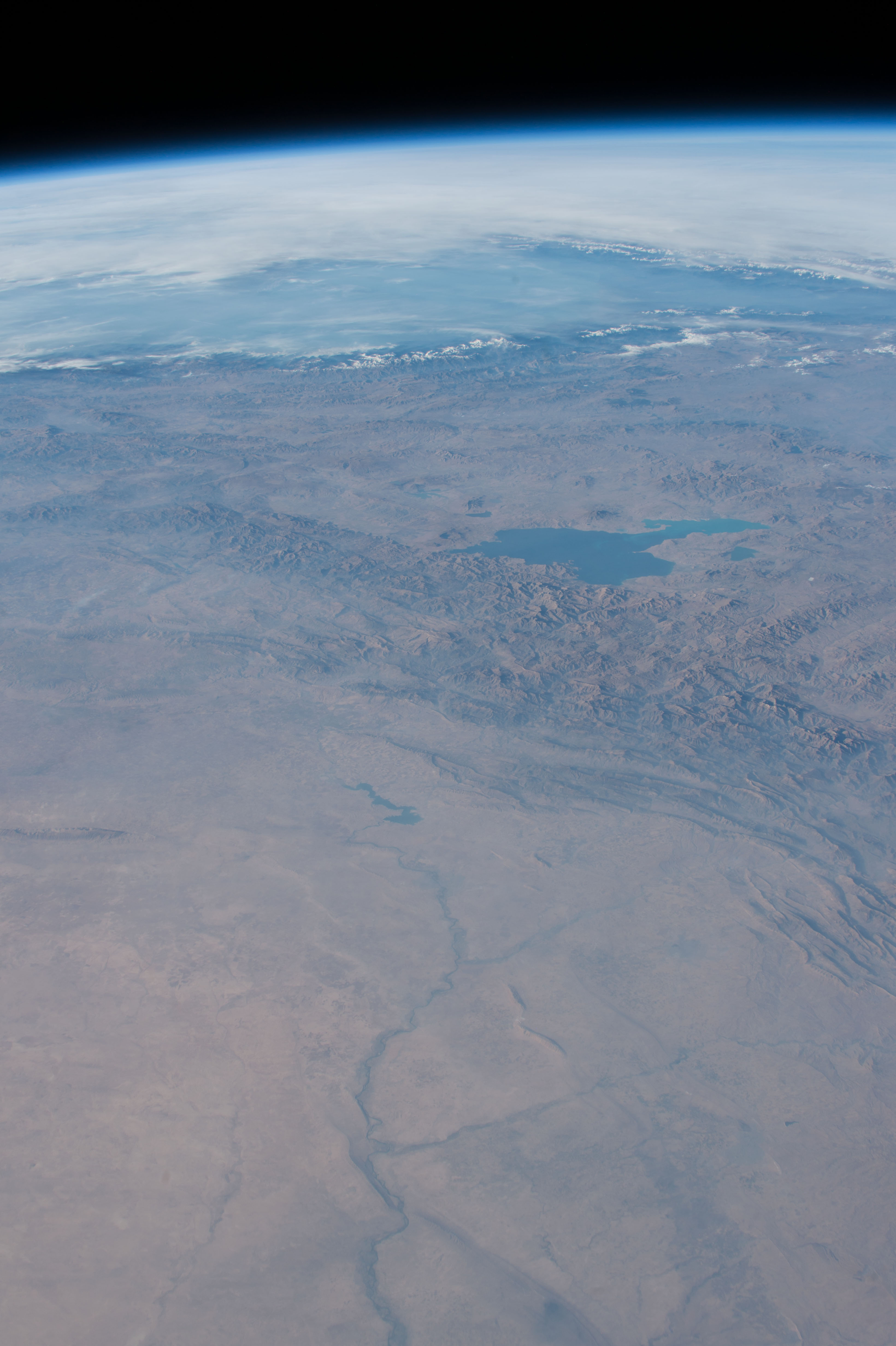


Spacecraft nadir point: 30.8° N, 46.0° E
Photo center point: 37.5° N, 43.0° E
Photo center point by machine learning:
Photo center point: 37.5° N, 43.0° E
Photo center point by machine learning:
Nadir to Photo Center: North
Spacecraft Altitude: 216 nautical miles (400km)
Country or Geographic Name: | TURKEY |
Features: | PAN- LAKE VAN, ZAGROS MOUNTAINS, BLACK SEA, TIGRIS RIVER, MOSUL |
| Features Found Using Machine Learning: | PAN- |
Cloud Cover Percentage: | 25 (11-25)% |
Sun Elevation Angle: | 17° |
Sun Azimuth: | 245° |
Camera: | Nikon D4 Electronic Still Camera |
Focal Length: | 65mm |
Camera Tilt: | High Oblique |
Format: | 4928E: 4928 x 3280 pixel CMOS sensor, 36.0mm x 23.9mm, total pixels: 16.6 million, Nikon FX format |
Film Exposure: | |
| Additional Information | |
| Width | Height | Annotated | Cropped | Purpose | Links |
|---|---|---|---|---|---|
| 3280 pixels | 4928 pixels | No | No | Download Image | |
| 426 pixels | 640 pixels | No | No | Download Image |
Download Packaged File
Download a Google Earth KML for this Image
View photo footprint information
Download a GeoTIFF for this photo
Image Caption: none
