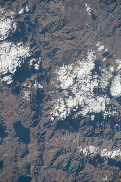
ISS052-E-20806
| NASA Photo ID | ISS052-E-20806 |
| Focal Length | 290mm |
| Date taken | 2017.07.27 |
| Time taken | 20:44:33 GMT |
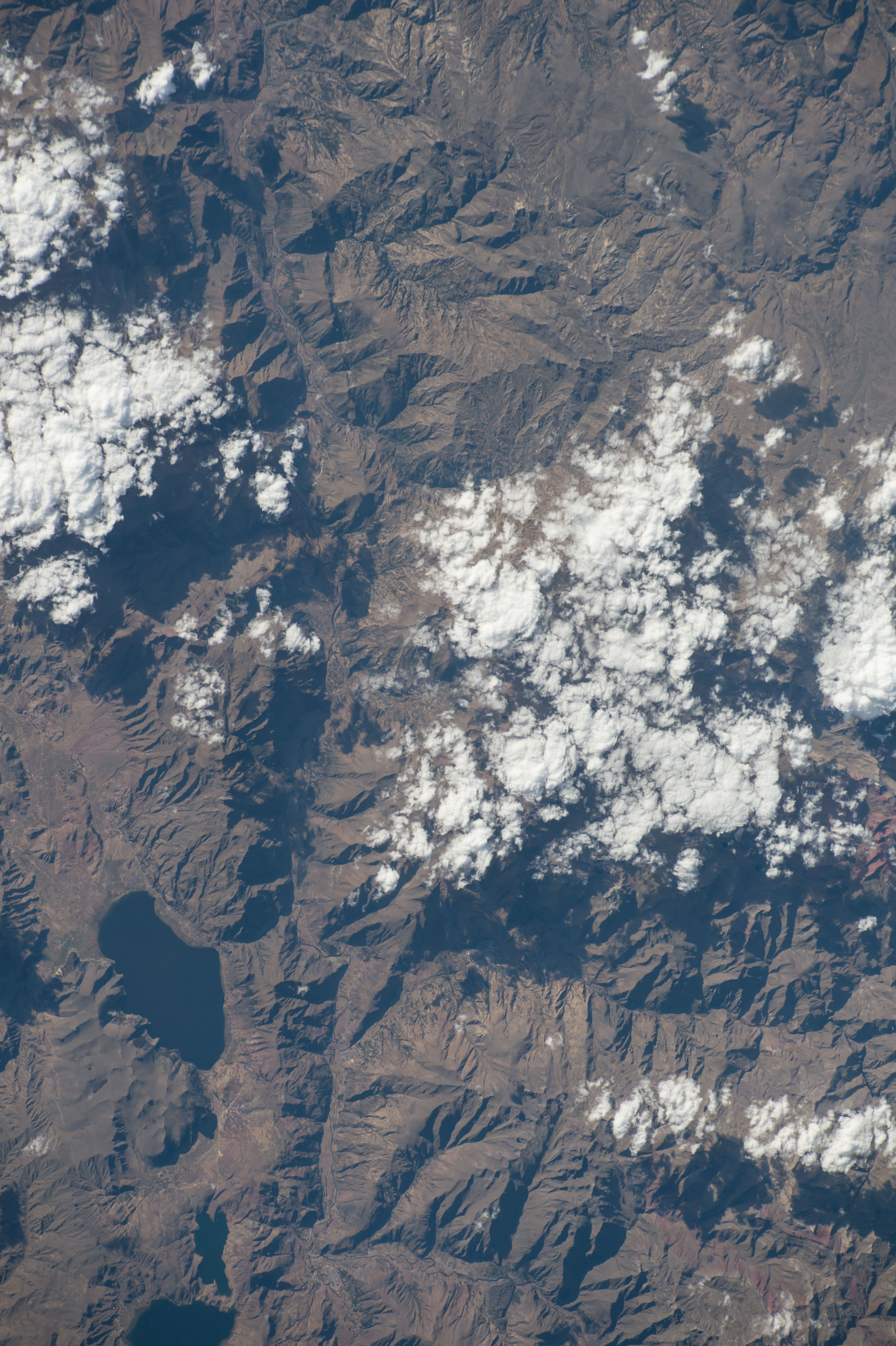

Spacecraft nadir point: 14.1° S, 72.7° W
Photo center point: 13.9° S, 71.5° W
Photo center point by machine learning:
Photo center point: 13.9° S, 71.5° W
Photo center point by machine learning:
Nadir to Photo Center: East
Spacecraft Altitude: 220 nautical miles (407km)
Country or Geographic Name: | PERU |
Features: | CUSIPATA, PITUMARCA, LAGUNA DE POMACANCHI |
| Features Found Using Machine Learning: | |
Cloud Cover Percentage: | 25 (11-25)% |
Sun Elevation Angle: | 25° |
Sun Azimuth: | 299° |
Camera: | Nikon D4 Electronic Still Camera |
Focal Length: | 290mm |
Camera Tilt: | 18 degrees |
Format: | 4928E: 4928 x 3280 pixel CMOS sensor, 36.0mm x 23.9mm, total pixels: 16.6 million, Nikon FX format |
Film Exposure: | |
| Additional Information | |
| Width | Height | Annotated | Cropped | Purpose | Links |
|---|---|---|---|---|---|
| 3280 pixels | 4928 pixels | No | No | Download Image | |
| 426 pixels | 640 pixels | No | No | Download Image |
Download Packaged File
Download a Google Earth KML for this Image
View photo footprint information
Download a GeoTIFF for this photo
Image Caption: none
