ISS049-E-8689

| NASA Photo ID | ISS049-E-8689 |
| Focal Length | 340mm |
| Date taken | 2016.09.22 |
| Time taken | 13:28:11 GMT |
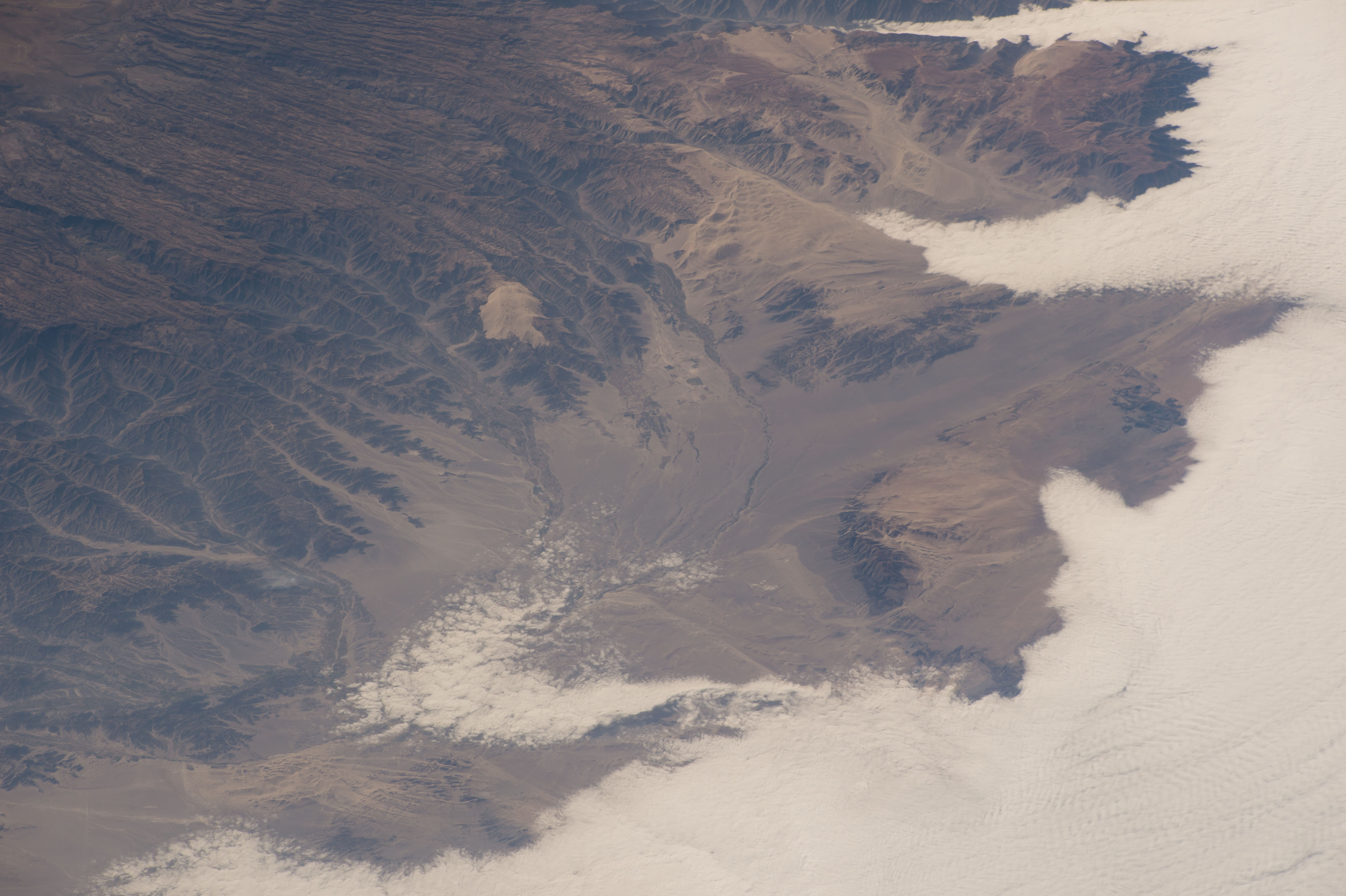


Spacecraft nadir point: 14.0° S, 80.3° W
Photo center point: 14.9° S, 75.0° W
Photo center point by machine learning:
Photo center point: 14.9° S, 75.0° W
Photo center point by machine learning:
Nadir to Photo Center: East
Spacecraft Altitude: 222 nautical miles (411km)
Country or Geographic Name: | PERU |
Features: | PUBLIC INPUTS (from public image detectives, not NASA): NAZCA |
| Features Found Using Machine Learning: | |
Cloud Cover Percentage: | 50 (26-50)% |
Sun Elevation Angle: | 32° |
Sun Azimuth: | 81° |
Camera: | Nikon D4 Electronic Still Camera |
Focal Length: | 340mm |
Camera Tilt: | High Oblique |
Format: | 4928E: 4928 x 3280 pixel CMOS sensor, 36.0mm x 23.9mm, total pixels: 16.6 million, Nikon FX format |
Film Exposure: | |
| Additional Information | |
| Width | Height | Annotated | Cropped | Purpose | Links |
|---|---|---|---|---|---|
| 4928 pixels | 3280 pixels | No | No | Download Image | |
| 640 pixels | 426 pixels | No | No | Download Image |
Download Packaged File
Download a Google Earth KML for this Image
View photo footprint information
Download a GeoTIFF for this photo
Image Caption: none
