ISS049-E-314
| NASA Photo ID | ISS049-E-314 |
| Focal Length | 140mm |
| Date taken | 2016.09.07 |
| Time taken | 16:40:07 GMT |
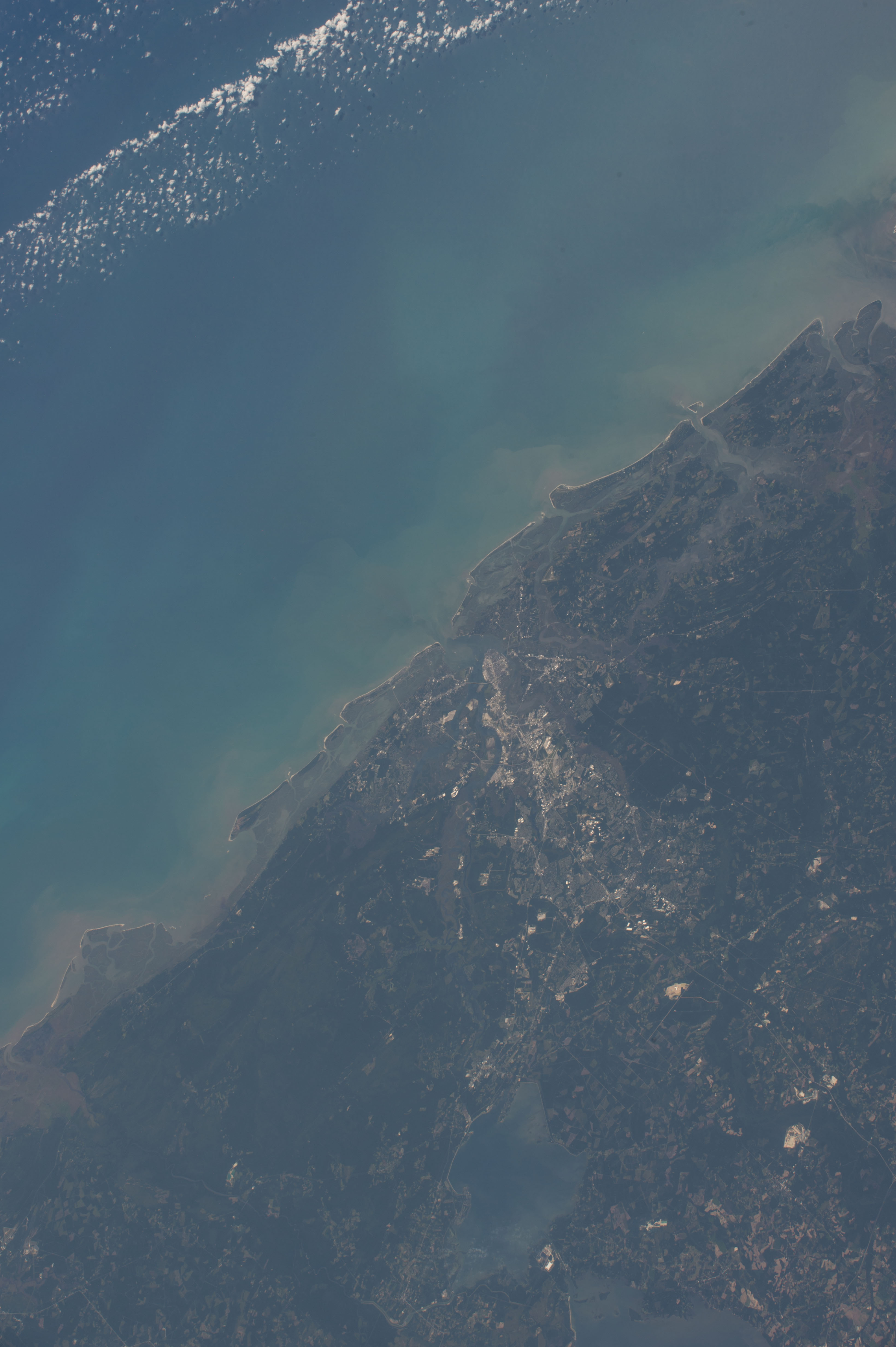


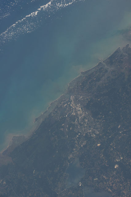
Spacecraft nadir point: 33.6° N, 82.4° W
Photo center point: 32.8° N, 79.9° W
Photo center point by machine learning:
Photo center point: 32.8° N, 79.9° W
Photo center point by machine learning:
Nadir to Photo Center: East
Spacecraft Altitude: 217 nautical miles (402km)
Country or Geographic Name: | USA-SOUTH CAROLINA |
Features: | CHARLESTON, COASTAL WETLANDS, BARRIER ISLANDS, ATLANTIC O., ESTUARIES |
| Features Found Using Machine Learning: | |
Cloud Cover Percentage: | 10 (1-10)% |
Sun Elevation Angle: | 60° |
Sun Azimuth: | 156° |
Camera: | Nikon D4 Electronic Still Camera |
Focal Length: | 140mm |
Camera Tilt: | 36 degrees |
Format: | 4928E: 4928 x 3280 pixel CMOS sensor, 36.0mm x 23.9mm, total pixels: 16.6 million, Nikon FX format |
Film Exposure: | |
| Additional Information | |
| Width | Height | Annotated | Cropped | Purpose | Links |
|---|---|---|---|---|---|
| 3280 pixels | 4928 pixels | No | No | Download Image | |
| 426 pixels | 640 pixels | No | No | Download Image |
Download Packaged File
Download a Google Earth KML for this Image
View photo footprint information
Download a GeoTIFF for this photo
Georeferenced automatically using the human-determined center point - exported 2019-05-30-215033-UTCAn explanation of the georeference file(s) above
Image Caption: none
