ISS048-E-72102
| NASA Photo ID | ISS048-E-72102 |
| Focal Length | 400mm |
| Date taken | 2016.08.26 |
| Time taken | 14:08:14 GMT |
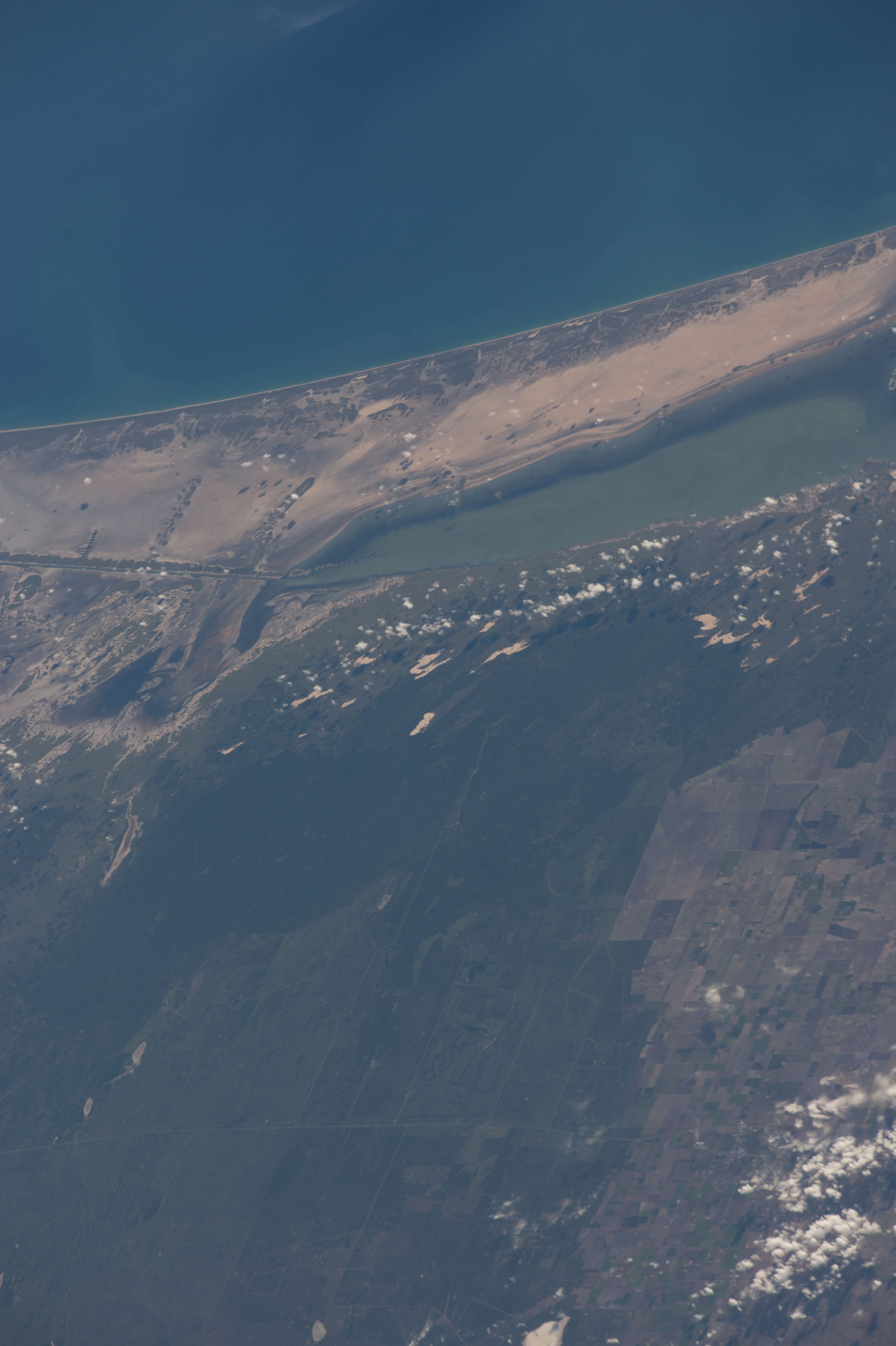

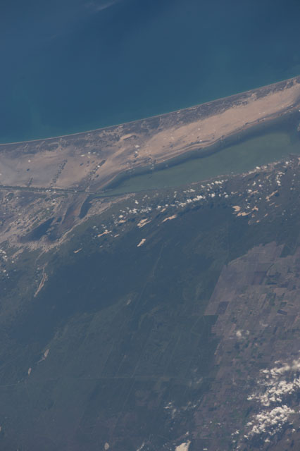
Spacecraft nadir point: 23.7° N, 100.4° W
Photo center point: 26.7° N, 97.6° W
Photo center point by machine learning:
Photo center point: 26.7° N, 97.6° W
Photo center point by machine learning:
Nadir to Photo Center: Northeast
Spacecraft Altitude: 217 nautical miles (402km)
Country or Geographic Name: | USA-TEXAS |
Features: | LAND CUT, LAGUNA MADRE, PORT MANSFIELD, KING RANCH, PADRE ISLAND |
| Features Found Using Machine Learning: | |
Cloud Cover Percentage: | 10 (1-10)% |
Sun Elevation Angle: | 23° |
Sun Azimuth: | 89° |
Camera: | Nikon D4 Electronic Still Camera |
Focal Length: | 400mm |
Camera Tilt: | 49 degrees |
Format: | 4928E: 4928 x 3280 pixel CMOS sensor, 36.0mm x 23.9mm, total pixels: 16.6 million, Nikon FX format |
Film Exposure: | |
| Additional Information | |
| Width | Height | Annotated | Cropped | Purpose | Links |
|---|---|---|---|---|---|
| 3280 pixels | 4928 pixels | No | No | Download Image | |
| 426 pixels | 640 pixels | No | No | Download Image |
Download Packaged File
Download a Google Earth KML for this Image
View photo footprint information
Download a GeoTIFF for this photo
Image Caption: CATALOGED BY TEXAS STATE UNIVERSITY
