ISS042-E-31310
| NASA Photo ID | ISS042-E-31310 |
| Focal Length | 800mm |
| Date taken | 2014.12.07 |
| Time taken | 20:09:03 GMT |
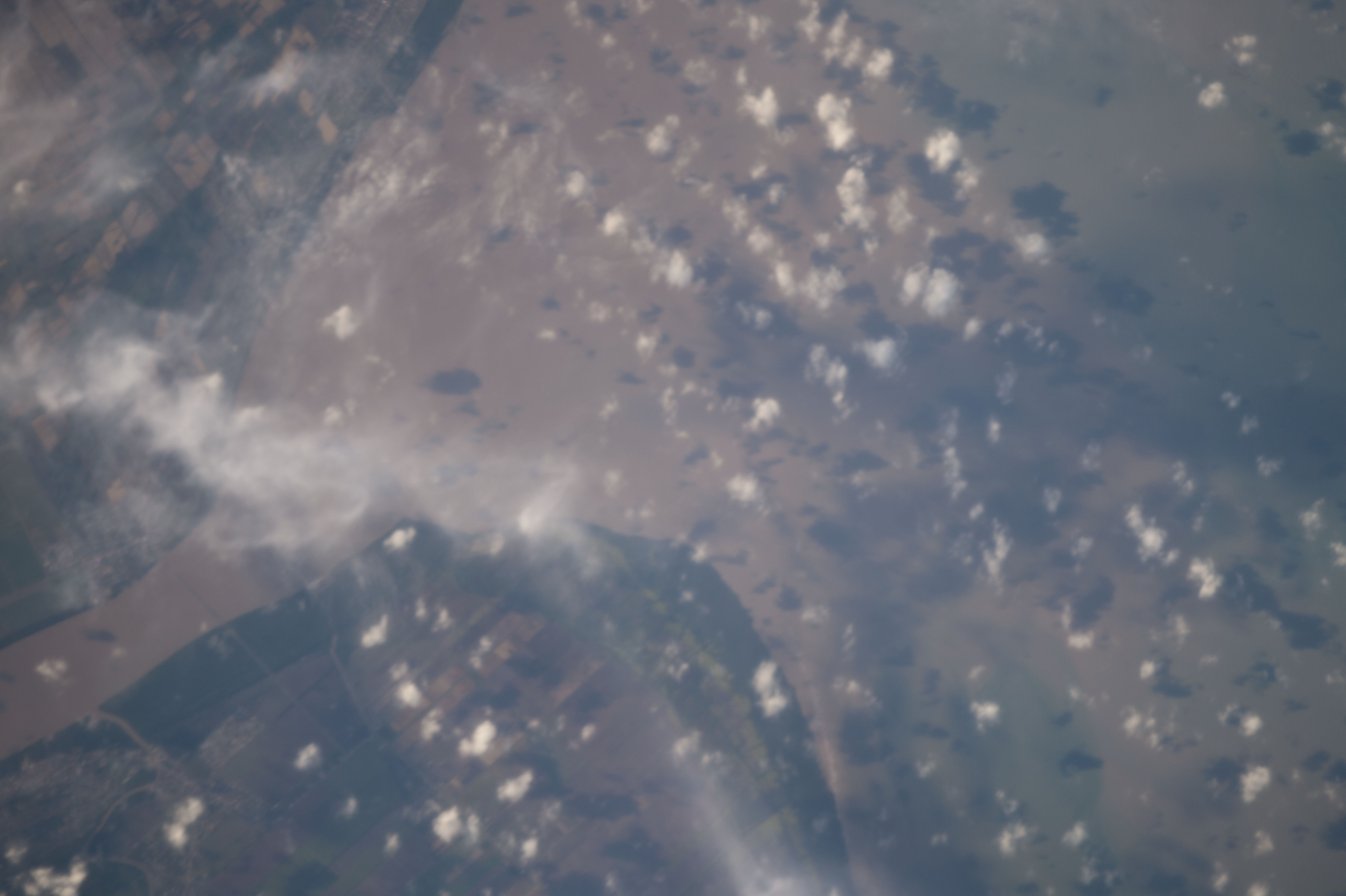


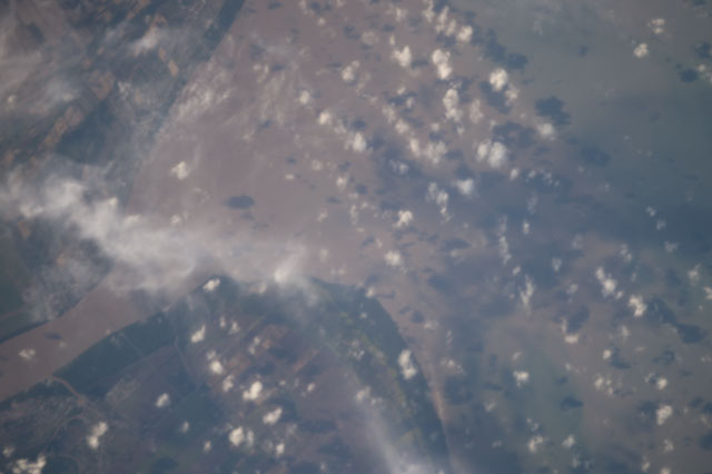
Spacecraft nadir point: 4.9° N, 56.4° W
Photo center point: 6.3° N, 57.5° W
Photo center point by machine learning:
Photo center point: 6.3° N, 57.5° W
Photo center point by machine learning:
Nadir to Photo Center: Northwest
Spacecraft Altitude: 222 nautical miles (411km)
Country or Geographic Name: | GUYANA |
Features: | PUBLIC INPUTS (from public image detectives, not NASA): CANJE RIVER,ROSIGNOL GUYANA,NEW AMSTERDAM GUYANA,BERBICE RIVER |
| Features Found Using Machine Learning: | |
Cloud Cover Percentage: | 25 (11-25)% |
Sun Elevation Angle: | 18° |
Sun Azimuth: | 244° |
Camera: | Nikon D4 Electronic Still Camera |
Focal Length: | 800mm |
Camera Tilt: | 26 degrees |
Format: | 4928E: 4928 x 3280 pixel CMOS sensor, 36.0mm x 23.9mm, total pixels: 16.6 million, Nikon FX format |
Film Exposure: | |
| Additional Information | |
| Width | Height | Annotated | Cropped | Purpose | Links |
|---|---|---|---|---|---|
| 4928 pixels | 3280 pixels | No | No | Download Image | |
| 640 pixels | 426 pixels | No | No | Download Image |
Download Packaged File
Download a Google Earth KML for this Image
View photo footprint information
Download a GeoTIFF for this photo
Image Caption: none
