ISS042-E-307607
| NASA Photo ID | ISS042-E-307607 |
| Focal Length | 500mm |
| Date taken | 2015.03.07 |
| Time taken | 20:23:01 GMT |


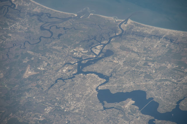
Spacecraft nadir point: 28.2° N, 85.8° W
Photo center point: 30.4° N, 81.6° W
Photo center point by machine learning:
Photo center point: 30.4° N, 81.6° W
Photo center point by machine learning:
Nadir to Photo Center: Northeast
Spacecraft Altitude: 214 nautical miles (396km)
Country or Geographic Name: | USA-FLORIDA |
Features: | PUBLIC INPUTS (from public image detectives, not NASA): ADM DAVID L. MCDONALD FIELD (KNRB),BLOUNT ISLAND,MAYPORT FL,JACKSONVILLE EXECUTIVE AIRPORT (KCRG),JACKSONVILLE INTERNATIONAL AIRPORT (KJAX),NAS JACKSONVILLE (KNIP),JACKSONVILLE FL |
| Features Found Using Machine Learning: | |
Cloud Cover Percentage: | 10 (1-10)% |
Sun Elevation Angle: | 41° |
Sun Azimuth: | 233° |
Camera: | Nikon D4 Electronic Still Camera |
Focal Length: | 500mm |
Camera Tilt: | 53 degrees |
Format: | 4928E: 4928 x 3280 pixel CMOS sensor, 36.0mm x 23.9mm, total pixels: 16.6 million, Nikon FX format |
Film Exposure: | |
| Additional Information | |
| Width | Height | Annotated | Cropped | Purpose | Links |
|---|---|---|---|---|---|
| 4928 pixels | 3280 pixels | No | No | Download Image | |
| 640 pixels | 426 pixels | No | No | Download Image |
Download Packaged File
Download a Google Earth KML for this Image
View photo footprint information
Download a GeoTIFF for this photo
Georeferenced automatically using the human-determined center point - exported 2018-01-16-173048-UTCGeoreferenced automatically using the human-determined center point - exported 2018-05-04-004425-UTC
Georeferenced automatically using the human-determined center point - exported 2018-05-10-221922-UTC
Georeferenced automatically using the human-determined center point - exported 2018-05-11-014607-UTC
Georeferenced automatically using the human-determined center point - exported 2018-08-08-200957-UTC
Georeferenced automatically using the human-determined center point - exported 2018-08-11-193208-UTC
An explanation of the georeference file(s) above
Image Caption: none
