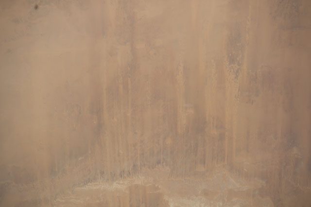
ISS041-E-3465
| NASA Photo ID | ISS041-E-3465 |
| Focal Length | 170mm |
| Date taken | 2014.09.12 |
| Time taken | 10:58:28 GMT |
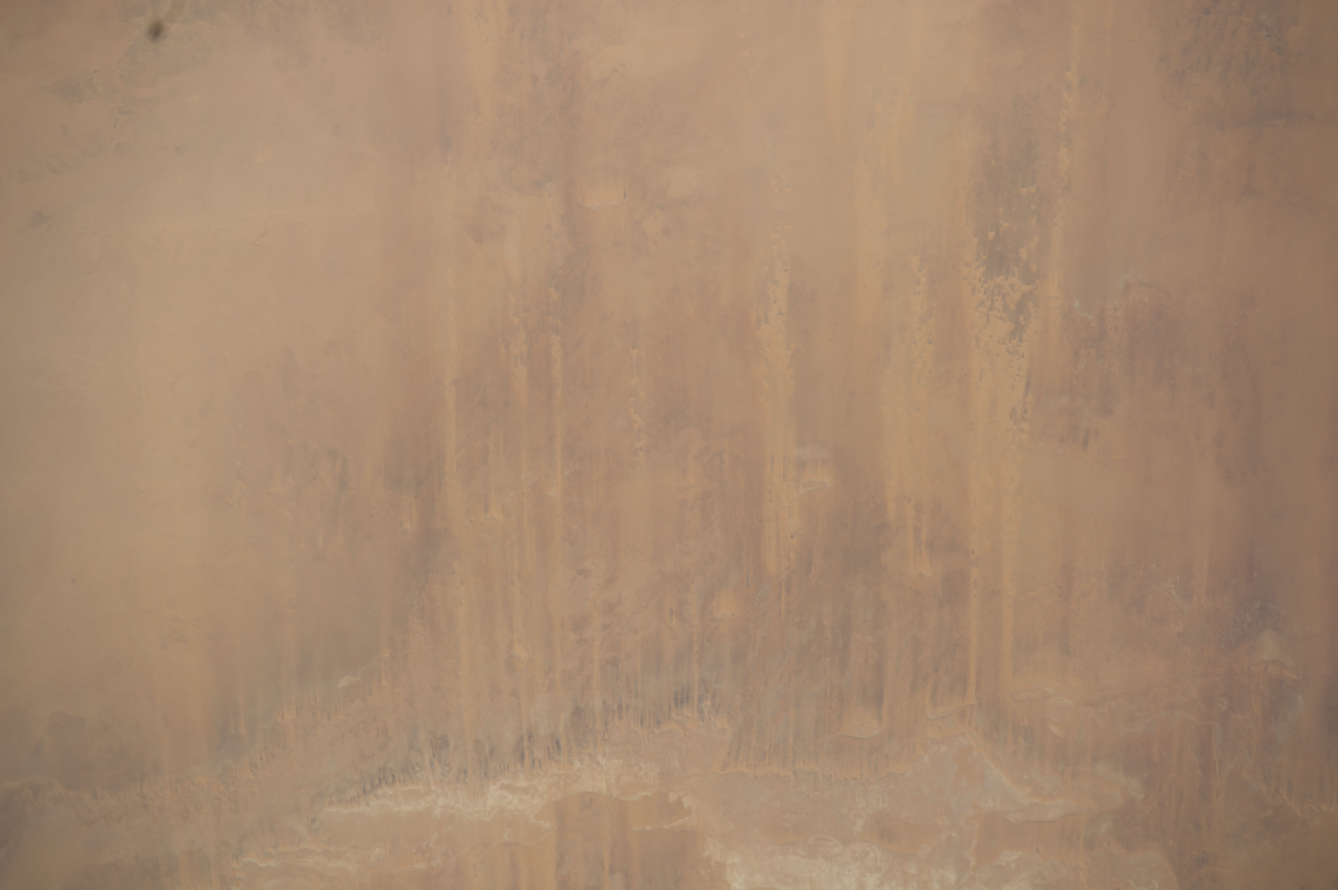

Spacecraft nadir point: 21.9° N, 32.6° E
Photo center point: 22.7° N, 30.6° E
Photo center point by machine learning:
Photo center point: 22.7° N, 30.6° E
Photo center point by machine learning:
Nadir to Photo Center: West
Spacecraft Altitude: 222 nautical miles (411km)
Country or Geographic Name: | EGYPT |
Features: | LIBYAN DES. |
| Features Found Using Machine Learning: | |
Cloud Cover Percentage: | 10 (1-10)% |
Sun Elevation Angle: | 65° |
Sun Azimuth: | 227° |
Camera: | Nikon D3S Electronic Still Camera |
Focal Length: | 170mm |
Camera Tilt: | 30 degrees |
Format: | 4256E: 4256 x 2832 pixel CMOS sensor, 36.0mm x 23.9mm, total pixels: 12.87 million, Nikon FX format |
Film Exposure: | |
| Additional Information | |
| Width | Height | Annotated | Cropped | Purpose | Links |
|---|---|---|---|---|---|
| 4256 pixels | 2832 pixels | No | No | Download Image | |
| 640 pixels | 426 pixels | No | No | Download Image |
Download Packaged File
Download a Google Earth KML for this Image
View photo footprint information
Download a GeoTIFF for this photo
Image Caption: CATALOGED BY TEXAS STATE UNIVERSITY
