ISS040-E-164
| NASA Photo ID | ISS040-E-164 |
| Focal Length | 200mm |
| Date taken | 2014.05.15 |
| Time taken | 10:22:34 GMT |
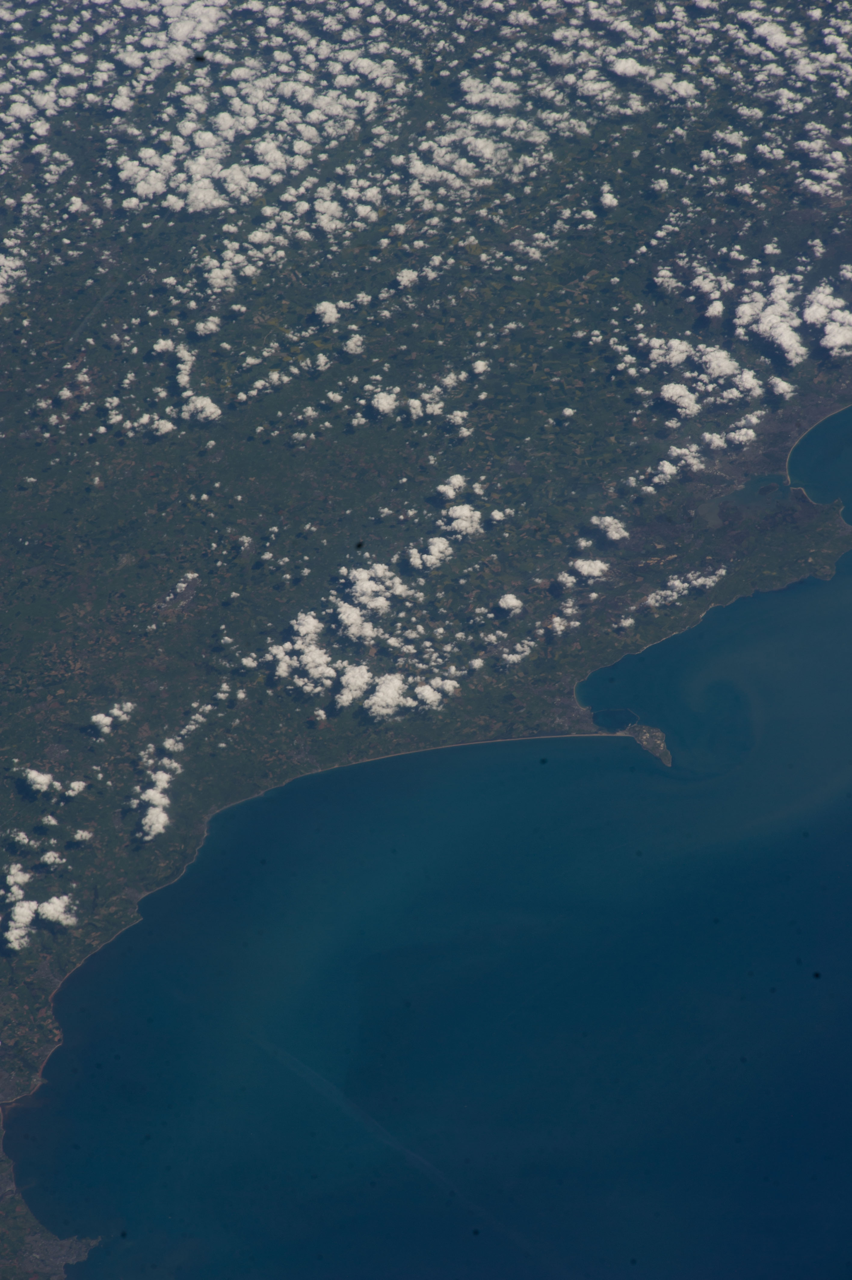

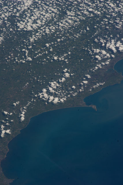
Spacecraft nadir point: 47.0° N, 4.4° W
Photo center point: 50.7° N, 2.5° W
Photo center point by machine learning:
Photo center point: 50.7° N, 2.5° W
Photo center point by machine learning:
Nadir to Photo Center: Northeast
Spacecraft Altitude: 222 nautical miles (411km)
Country or Geographic Name: | UK-ENGLAND |
Features: | ENGLISH CHANNEL, BILL OF PORTLAND, LYME BAY, TOWNS |
| Features Found Using Machine Learning: | |
Cloud Cover Percentage: | 25 (11-25)% |
Sun Elevation Angle: | 54° |
Sun Azimuth: | 131° |
Camera: | Nikon D3S Electronic Still Camera |
Focal Length: | 200mm |
Camera Tilt: | 48 degrees |
Format: | 4256E: 4256 x 2832 pixel CMOS sensor, 36.0mm x 23.9mm, total pixels: 12.87 million, Nikon FX format |
Film Exposure: | |
| Additional Information | |
| Width | Height | Annotated | Cropped | Purpose | Links |
|---|---|---|---|---|---|
| 2832 pixels | 4256 pixels | No | No | Download Image | |
| 426 pixels | 640 pixels | No | No | Download Image |
Download Packaged File
Download a Google Earth KML for this Image
View photo footprint information
Download a GeoTIFF for this photo
Image Caption: none
