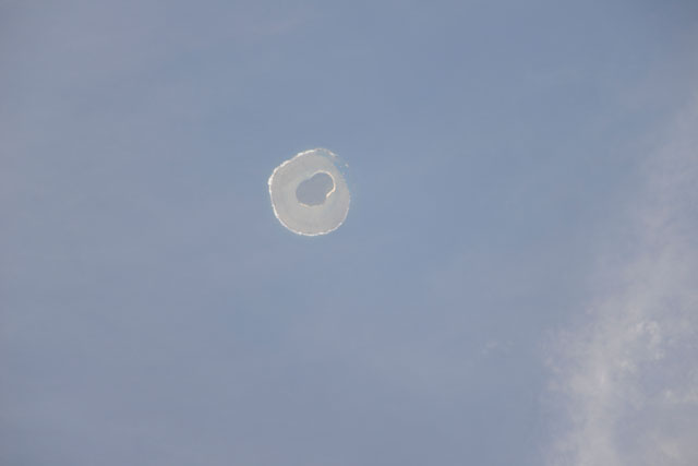
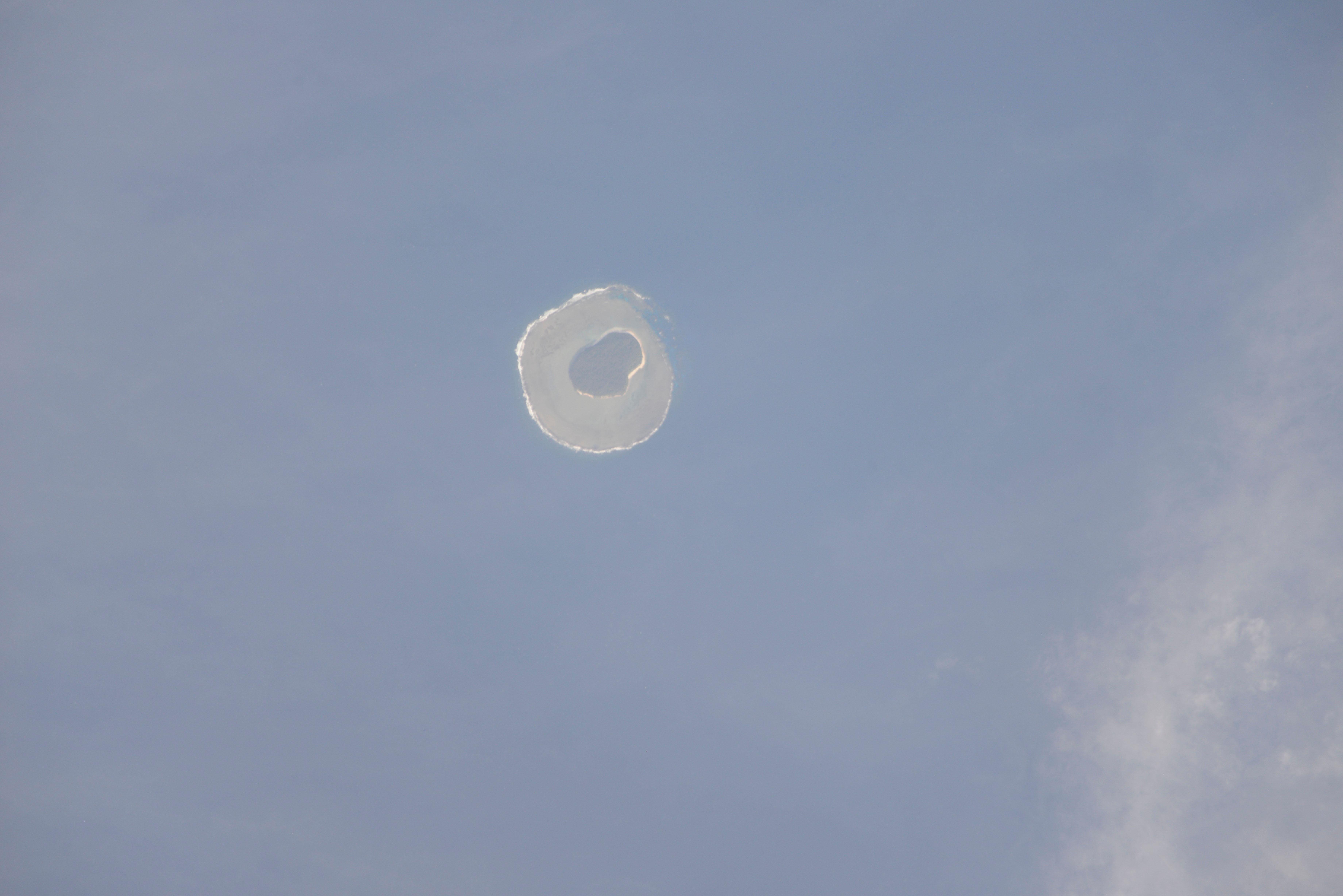
ISS040-E-140536
| NASA Photo ID | ISS040-E-140536 |
| Focal Length | 1200mm |
| Date taken | 2014.06.02 |
| Time taken | 23:39:06 GMT |
Cloud masks available for this image:
Spacecraft nadir point: 41.6° N, 31.9° W
Photo center point: 39.7° N, 31.1° W
Photo center point by machine learning:
Photo center point: 39.7° N, 31.1° W
Photo center point by machine learning:
Nadir to Photo Center: Southeast
Spacecraft Altitude: 220 nautical miles (407km)
Country or Geographic Name: | PORTUGAL |
Features: | VILA DO CORVO, CALDEIRAO, CACHIMBO, MIRADOURO CALDEIRAO, CALDEIRAO ISLAND, ATLANTIC OCEAN |
| Features Found Using Machine Learning: | |
Cloud Cover Percentage: | 25 (11-25)% |
Sun Elevation Angle: | -18° |
Sun Azimuth: | 325° |
Camera: | Nikon D800E Electronic Still Camera |
Focal Length: | 1200mm |
Camera Tilt: | High Oblique |
Format: | 7360E: 7360 x 4912 pixel CMOS sensor, 35.9mm x 24.0mm, total pixels: 36.8 million, Nikon FX format |
Film Exposure: | |
| Additional Information | Russian imagery |
| Width | Height | Annotated | Cropped | Purpose | Links |
|---|---|---|---|---|---|
| 7360 pixels | 4912 pixels | No | No | Download Image | |
| 640 pixels | 427 pixels | No | No | Download Image |
Download Packaged File
Download a Google Earth KML for this Image
View photo footprint information
Download a GeoTIFF for this photo
Image Caption: CATALOGED BY UT-BROWNSVILLE/STARGATE
