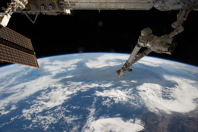
ISS040-E-125635
| NASA Photo ID | ISS040-E-125635 |
| Focal Length | 20mm |
| Date taken | 2014.09.04 |
| Time taken | 09:12:30 GMT |
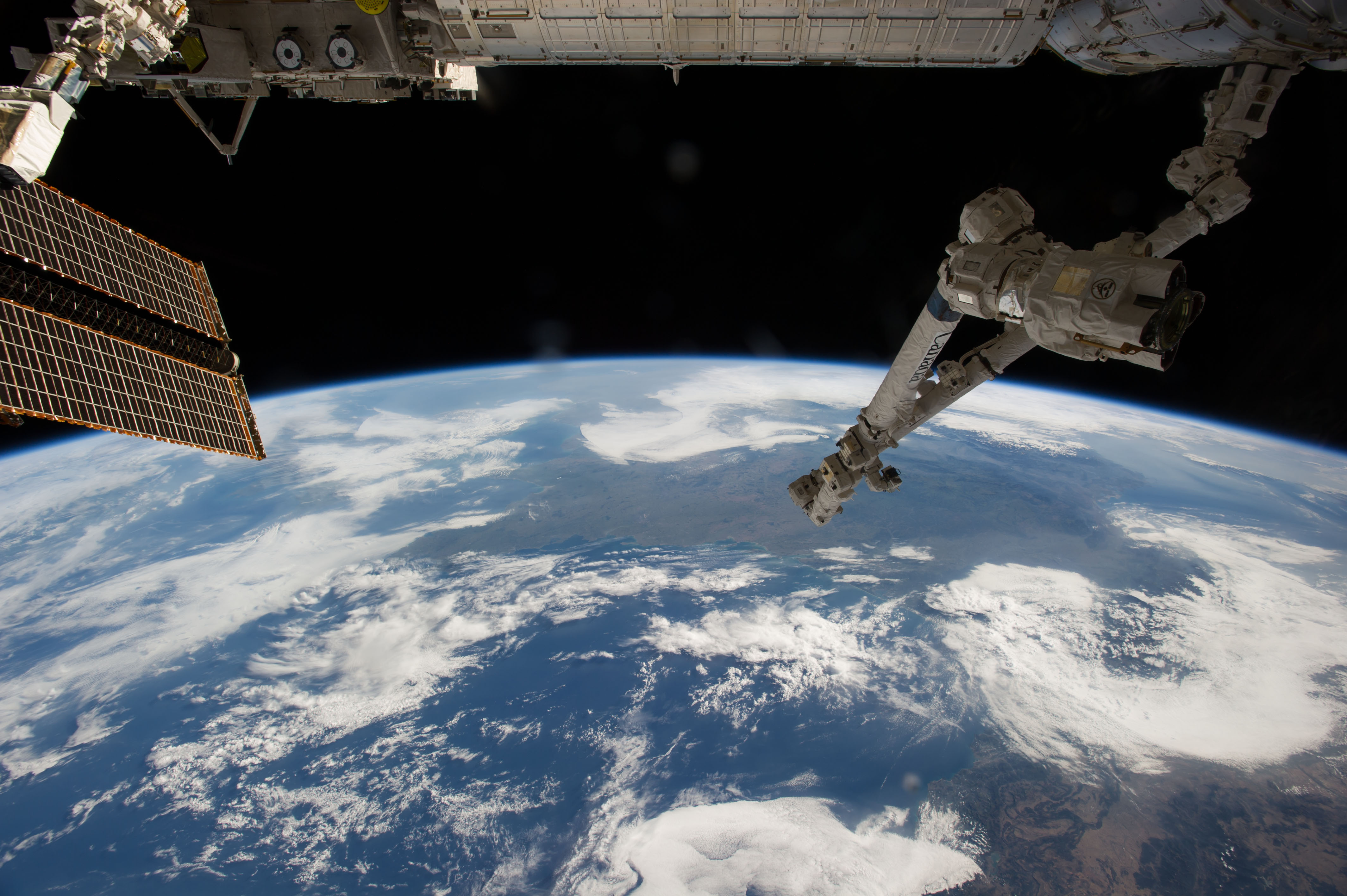

Spacecraft nadir point: 44.1° N, 4.9° W
Photo center point: 47.8° N, 0.3° E
Photo center point by machine learning:
Photo center point: 47.8° N, 0.3° E
Photo center point by machine learning:
Nadir to Photo Center: Northeast
Spacecraft Altitude: 220 nautical miles (407km)
Country or Geographic Name: | FRANCE |
Features: | ENGLISH CHANNEL, PARIS, LONDON |
| Features Found Using Machine Learning: | PAN- |
Cloud Cover Percentage: | 50 (26-50)% |
Sun Elevation Angle: | 35° |
Sun Azimuth: | 118° |
Camera: | Nikon D3S Electronic Still Camera |
Focal Length: | 20mm |
Camera Tilt: | High Oblique |
Format: | 4256E: 4256 x 2832 pixel CMOS sensor, 36.0mm x 23.9mm, total pixels: 12.87 million, Nikon FX format |
Film Exposure: | |
| Additional Information | |
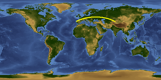
This photo is one of the photos used to create this time-lapse video:
| Width | Height | Annotated | Cropped | Purpose | Links |
|---|---|---|---|---|---|
| 4256 pixels | 2832 pixels | No | No | Download Image | |
| 640 pixels | 426 pixels | No | No | Download Image |
Download Packaged File
Download a Google Earth KML for this Image
View photo footprint information
Download a GeoTIFF for this photo
Image Caption: CATALOGED BY UT-BROWNSVILLE/STARGATE
