ISS040-E-112797

| NASA Photo ID | ISS040-E-112797 |
| Focal Length | 800mm |
| Date taken | 2014.08.31 |
| Time taken | 16:56:59 GMT |
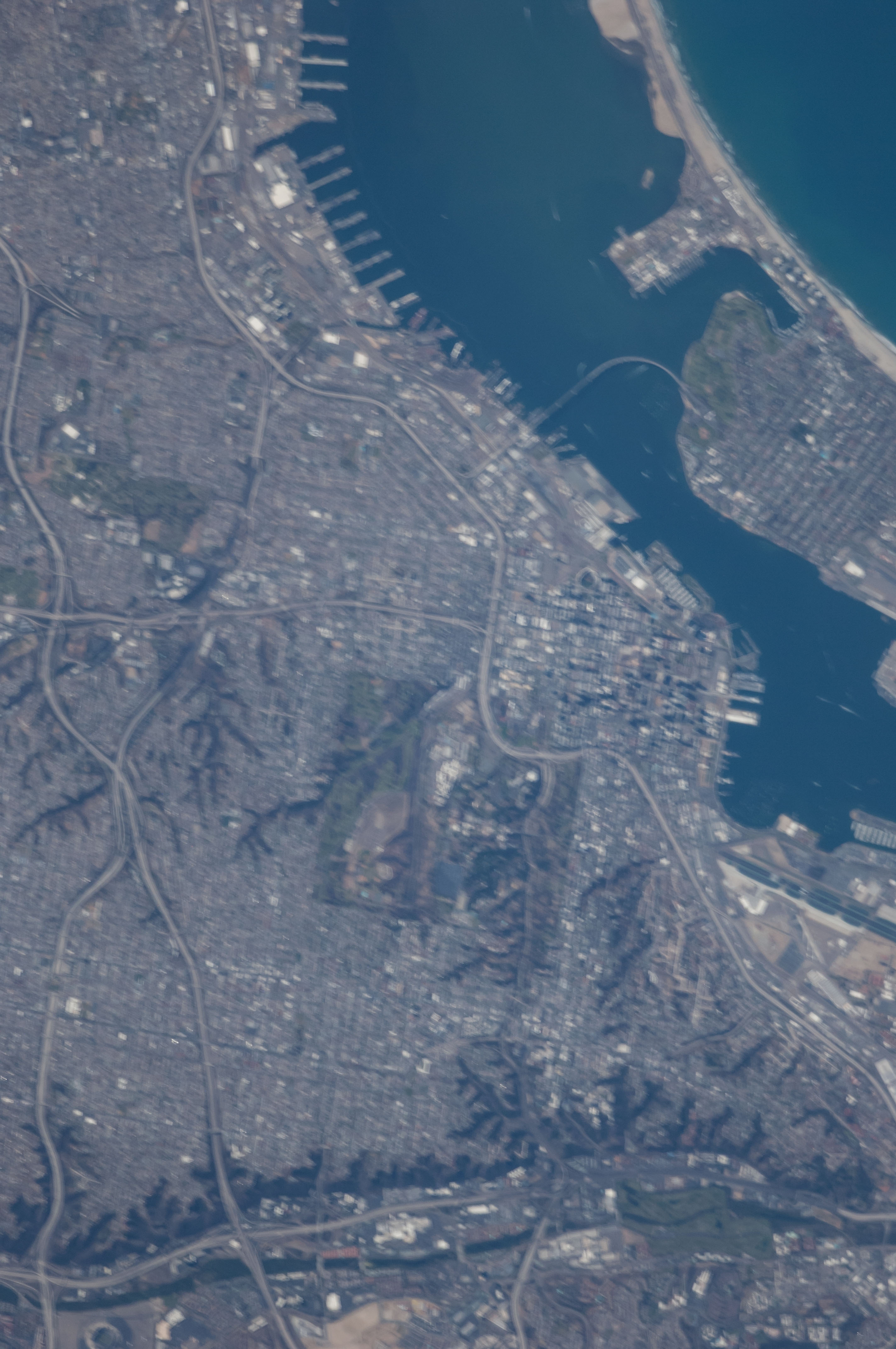


Spacecraft nadir point: 33.9° N, 116.8° W
Photo center point: 32.7° N, 117.2° W
Photo center point by machine learning: 32.69° N, 117.15° W
Photo center point: 32.7° N, 117.2° W
Photo center point by machine learning: 32.69° N, 117.15° W
Nadir to Photo Center: South
Spacecraft Altitude: 221 nautical miles (409km)

Camera: | Nikon D2Xs Electronic Still Camera |
Focal Length: | 800mm |
Camera Tilt: | 19 degrees |
Format: | 4288E: 4288 x 2848 pixel CMOS sensor, RGBG imager color filter |
Film Exposure: | |
| Additional Information | |
| Width | Height | Annotated | Cropped | Purpose | Links |
|---|---|---|---|---|---|
| 2848 pixels | 4288 pixels | No | No | Download Image | |
| 425 pixels | 640 pixels | No | No | Download Image |
Download Packaged File
Download a Google Earth KML for this Image
View photo footprint information
Download a GeoTIFF for this photo
Image Caption: CATALOGED BY UT-BROWNSVILLE/STARGATE
