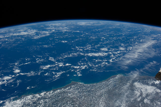
ISS039-E-4986
| NASA Photo ID | ISS039-E-4986 |
| Focal Length | 32mm |
| Date taken | 2014.03.22 |
| Time taken | 14:57:57 GMT |
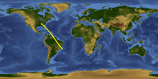
Spacecraft nadir point: 16.3° S, 42.6° W
Photo center point: 18.2° S, 39.0° W
Photo center point by machine learning:
Photo center point: 18.2° S, 39.0° W
Photo center point by machine learning:
Nadir to Photo Center: Southeast
Spacecraft Altitude: 226 nautical miles (419km)
Country or Geographic Name: | BRAZIL |
Features: | ABROLHOS BANK, BRAZIL, ST MATEUS CITY, ATLANTIC OCEAN, COASTLINE |
| Features Found Using Machine Learning: | PAN- |
Cloud Cover Percentage: | 25 (11-25)% |
Sun Elevation Angle: | 73° |
Sun Azimuth: | 359° |
Camera: | Nikon D3S Electronic Still Camera |
Focal Length: | 32mm |
Camera Tilt: | High Oblique |
Format: | 4256E: 4256 x 2832 pixel CMOS sensor, 36.0mm x 23.9mm, total pixels: 12.87 million, Nikon FX format |
Film Exposure: | |
| Additional Information | |
This photo is one of the photos used to create this time-lapse video:
| Width | Height | Annotated | Cropped | Purpose | Links |
|---|---|---|---|---|---|
| 4256 pixels | 2832 pixels | No | No | Download Image | |
| 640 pixels | 426 pixels | No | No | Download Image |
Download Packaged File
Download a Google Earth KML for this Image
View photo footprint information
Download a GeoTIFF for this photo
Image Caption: CATALOGED BY UT-BROWNSVILLE/STARGATE
