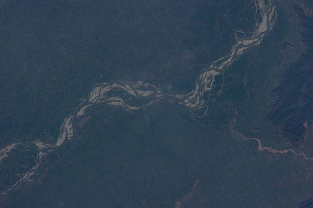
ISS038-E-46782
| NASA Photo ID | ISS038-E-46782 |
| Focal Length | 180mm |
| Date taken | 2014.02.13 |
| Time taken | 09:55:19 GMT |
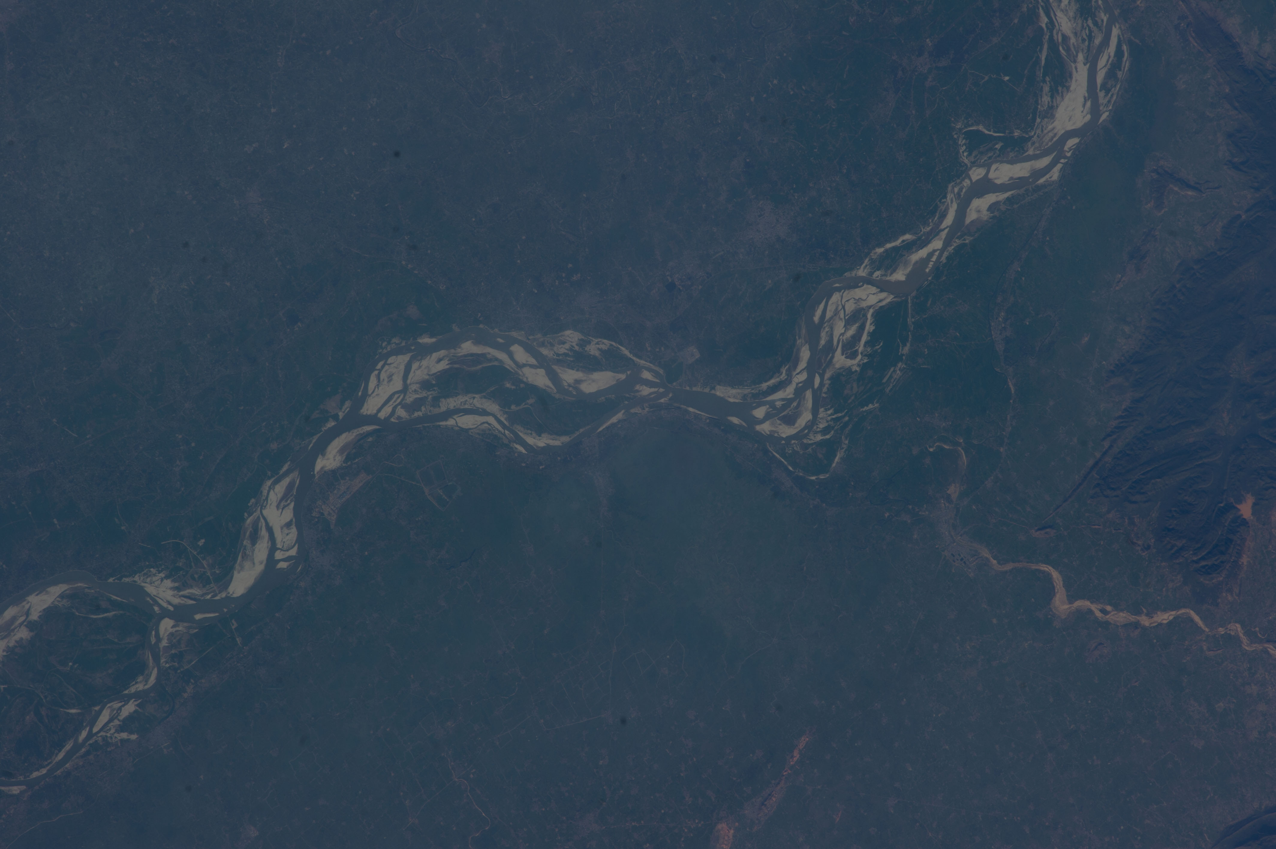


Spacecraft nadir point: 30.8° N, 88.9° E
Photo center point: 25.4° N, 86.0° E
Photo center point by machine learning:
Photo center point: 25.4° N, 86.0° E
Photo center point by machine learning:
Nadir to Photo Center: Southwest
Spacecraft Altitude: 222 nautical miles (411km)
Camera: | Nikon D3S Electronic Still Camera |
Focal Length: | 180mm |
Camera Tilt: | High Oblique |
Format: | 4256E: 4256 x 2832 pixel CMOS sensor, 36.0mm x 23.9mm, total pixels: 12.87 million, Nikon FX format |
Film Exposure: | |
| Additional Information | |
| Width | Height | Annotated | Cropped | Purpose | Links |
|---|---|---|---|---|---|
| 4256 pixels | 2832 pixels | No | No | Download Image | |
| 640 pixels | 426 pixels | No | No | Download Image |
Download Packaged File
Download a Google Earth KML for this Image
View photo footprint information
Download a GeoTIFF for this photo
Image Caption: none
