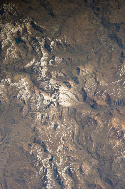
ISS038-E-12561
| NASA Photo ID | ISS038-E-12561 |
| Focal Length | 400mm |
| Date taken | 2013.12.06 |
| Time taken | 12:45:11 GMT |


Spacecraft nadir point: 40.2° S, 70.7° W
Photo center point: 36.4° S, 70.2° W
Photo center point by machine learning:
Photo center point: 36.4° S, 70.2° W
Photo center point by machine learning:
Nadir to Photo Center: North
Spacecraft Altitude: 226 nautical miles (419km)
Camera: | Nikon D3S Electronic Still Camera |
Focal Length: | 400mm |
Camera Tilt: | 45 degrees |
Format: | 4256E: 4256 x 2832 pixel CMOS sensor, 36.0mm x 23.9mm, total pixels: 12.87 million, Nikon FX format |
Film Exposure: | |
| Additional Information | |
| Width | Height | Annotated | Cropped | Purpose | Links |
|---|---|---|---|---|---|
| 2832 pixels | 4256 pixels | No | No | Download Image | |
| 426 pixels | 640 pixels | No | No | Download Image |
Download Packaged File
Download a Google Earth KML for this Image
View photo footprint information
Download a GeoTIFF for this photo
Image Caption: none
