ISS037-E-17494

| NASA Photo ID | ISS037-E-17494 |
| Focal Length | 400mm |
| Date taken | 2013.10.22 |
| Time taken | 19:43:25 GMT |
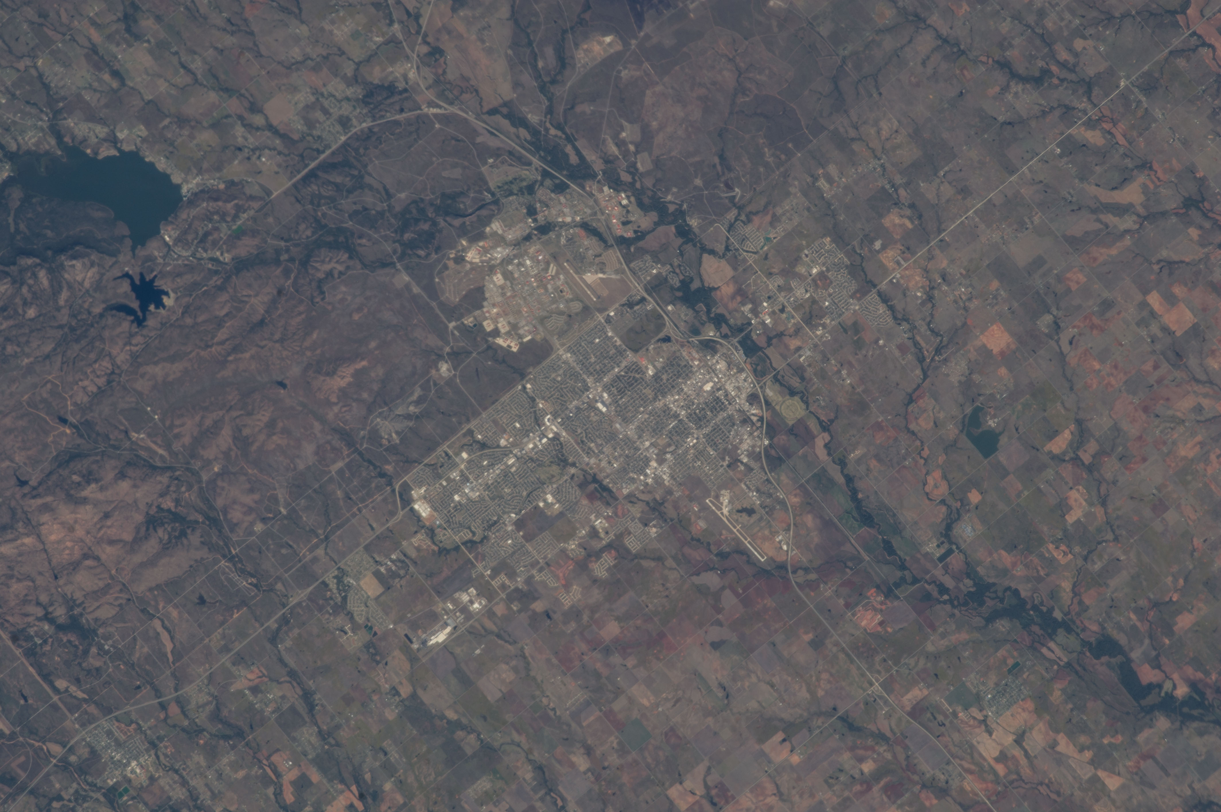


Spacecraft nadir point: 34.5° N, 98.6° W
Photo center point: 34.6° N, 98.4° W
Photo center point by machine learning:
Photo center point: 34.6° N, 98.4° W
Photo center point by machine learning:
Nadir to Photo Center: Northeast
Spacecraft Altitude: 222 nautical miles (411km)
Country or Geographic Name: | USA-OKLAHOMA |
Features: | PUBLIC INPUTS (from public image detectives, not NASA): LAWTON-FORT SILL REGIONAL AIRPORT,LAWTON,LAKE LOWTONKA,STATE ROUTE 62,CY. LAWTON,HIGHWAY 44,LAWTON OKLAHOMA,OKLAHOMA,FORT SILL,ELMER THOMAS LAKE,CENTER POINT IS ALMOST ON THE WALMART SUPERCENTER IN LAWTON OKLAHOMA,OK,UNITED STATES,-98.42),ABOUT 2 KM WEST OF ELMER THOMAS PARK,FORT SILL ARMY BASE,(34.62,L. LAWTONKA,WEST BALMER LAKE,OKLAHOME,LAKE LAWTONKA,LAWTON CY.,FT. SILL,ELMER THOMAS L.,MEDICINE PARK,OKNONAME RESEVOIR,LAWTON OK |
| Features Found Using Machine Learning: | |
Cloud Cover Percentage: | 10 (1-10)% |
Sun Elevation Angle: | 40° |
Sun Azimuth: | 208° |
Camera: | Nikon D3S Electronic Still Camera |
Focal Length: | 400mm |
Camera Tilt: | 3 degrees |
Format: | 4256E: 4256 x 2832 pixel CMOS sensor, 36.0mm x 23.9mm, total pixels: 12.87 million, Nikon FX format |
Film Exposure: | |
| Additional Information | |
| Width | Height | Annotated | Cropped | Purpose | Links |
|---|---|---|---|---|---|
| 4256 pixels | 2832 pixels | No | No | Download Image | |
| 640 pixels | 426 pixels | No | No | Download Image |
Download Packaged File
Download a Google Earth KML for this Image
View photo footprint information
Download a GeoTIFF for this photo
Image Caption: none
