ISS034-E-42247
| NASA Photo ID | ISS034-E-42247 |
| Focal Length | 800mm |
| Date taken | 2013.02.11 |
| Time taken | 14:28:39 GMT |

Cloud masks available for this image:
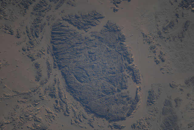
Spacecraft nadir point: 20.9° N, 30.7° E
Photo center point: 21.5° N, 31.2° E
Photo center point by machine learning:
Photo center point: 21.5° N, 31.2° E
Photo center point by machine learning:
Nadir to Photo Center: Northeast
Spacecraft Altitude: 222 nautical miles (411km)
Country or Geographic Name: | SUDAN |
Features: | PUBLIC INPUTS (from public image detectives, not NASA): SUDAN, DESERT, MOUNTAIN,WADI HALFA SUDAN |
| Features Found Using Machine Learning: | |
Cloud Cover Percentage: | 0 (no clouds present) |
Sun Elevation Angle: | 18° |
Sun Azimuth: | 247° |
Camera: | Nikon D3X Electronic Still Camera |
Focal Length: | 800mm |
Camera Tilt: | 12 degrees |
Format: | 6048E: 6048 x 4032 pixel CMOS sensor, 35.9mm x 24.0mm, total pixels: 25.72 million, Nikon FX format |
Film Exposure: | |
| Additional Information | |
| Width | Height | Annotated | Cropped | Purpose | Links |
|---|---|---|---|---|---|
| 6048 pixels | 4032 pixels | No | No | Download Image | |
| 640 pixels | 427 pixels | No | No | Download Image |
Download Packaged File
Download a Google Earth KML for this Image
View photo footprint information
Download a GeoTIFF for this photo
Image Caption: none
