ISS034-E-34246

| NASA Photo ID | ISS034-E-34246 |
| Focal Length | 800mm |
| Date taken | 2013.01.24 |
| Time taken | 14:21:00 GMT |
Cloud masks available for this image:
Spacecraft nadir point: 27.3° N, 81.7° W
Photo center point: 25.7° N, 80.2° W
Photo center point by machine learning:
Photo center point: 25.7° N, 80.2° W
Photo center point by machine learning:
Nadir to Photo Center: Southeast
Spacecraft Altitude: 217 nautical miles (402km)
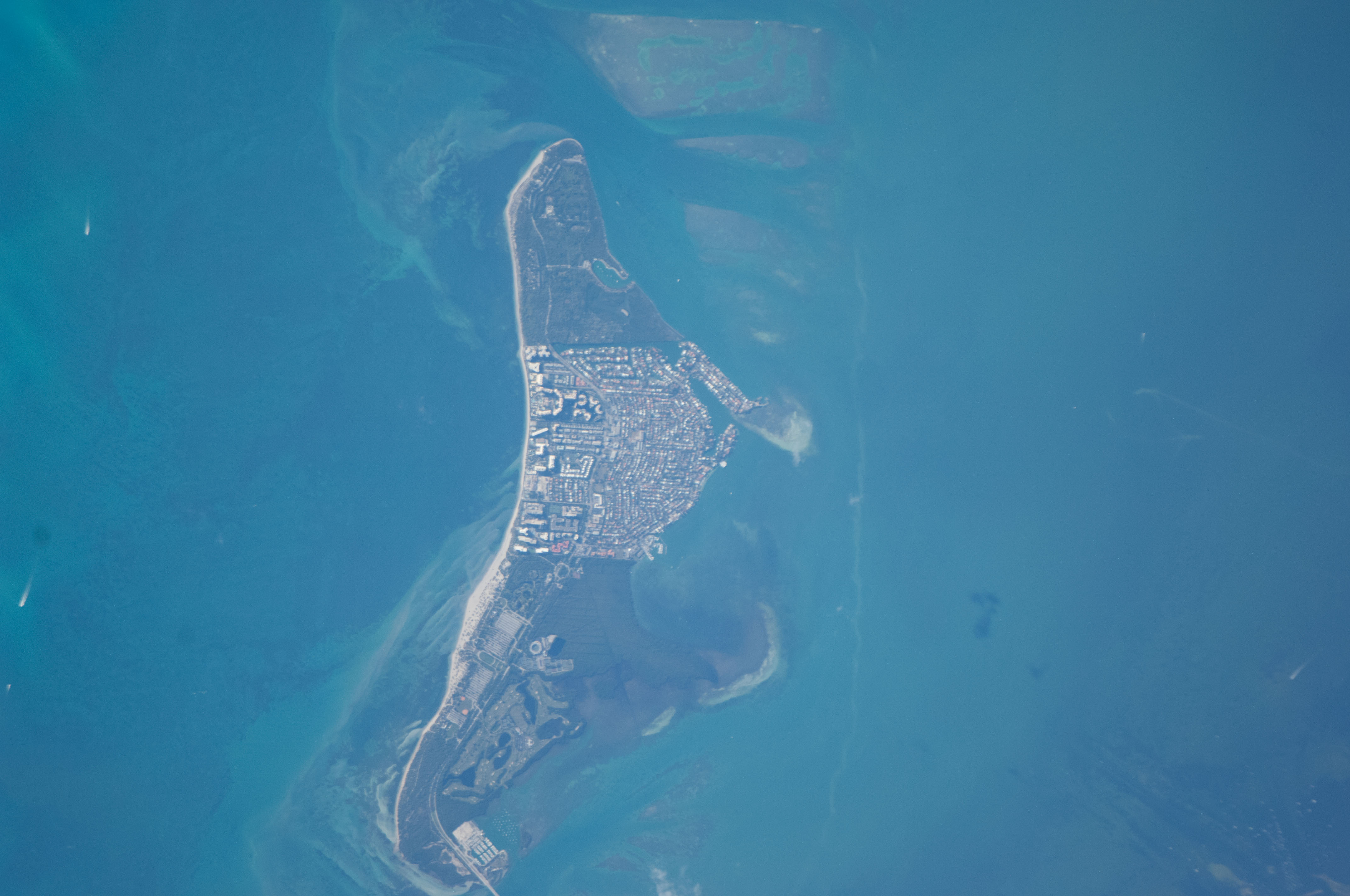
Country or Geographic Name: | USA-FLORIDA |
Features: | KEY BISCAYNE, ATLANTIC O., BISCAYNE B. |
| Features Found Using Machine Learning: | |
Cloud Cover Percentage: | 10 (1-10)% |
Sun Elevation Angle: | 23° |
Sun Azimuth: | 128° |
Camera: | Nikon D2Xs Electronic Still Camera |
Focal Length: | 800mm |
Camera Tilt: | 31 degrees |
Format: | 4288E: 4288 x 2848 pixel CMOS sensor, RGBG imager color filter |
Film Exposure: | |
| Additional Information | |
| Width | Height | Annotated | Cropped | Purpose | Links |
|---|---|---|---|---|---|
| 4288 pixels | 2848 pixels | No | No | Download Image | |
| 640 pixels | 425 pixels | No | No | Download Image |
Download Packaged File
Download a Google Earth KML for this Image
View photo footprint information
Download a GeoTIFF for this photo
Georeferenced by human interaction - exported 2016-08-16-231901-UTCGeoreferenced by human interaction - exported 2016-08-24-000759-UTC
Georeferenced by human interaction - exported 2018-01-16-145727-UTC
An explanation of the georeference file(s) above
Image Caption: none
