ISS034-E-31619

| NASA Photo ID | ISS034-E-31619 |
| Focal Length | 410mm |
| Date taken | 2013.01.20 |
| Time taken | 14:23:22 GMT |
Cloud masks available for this image:
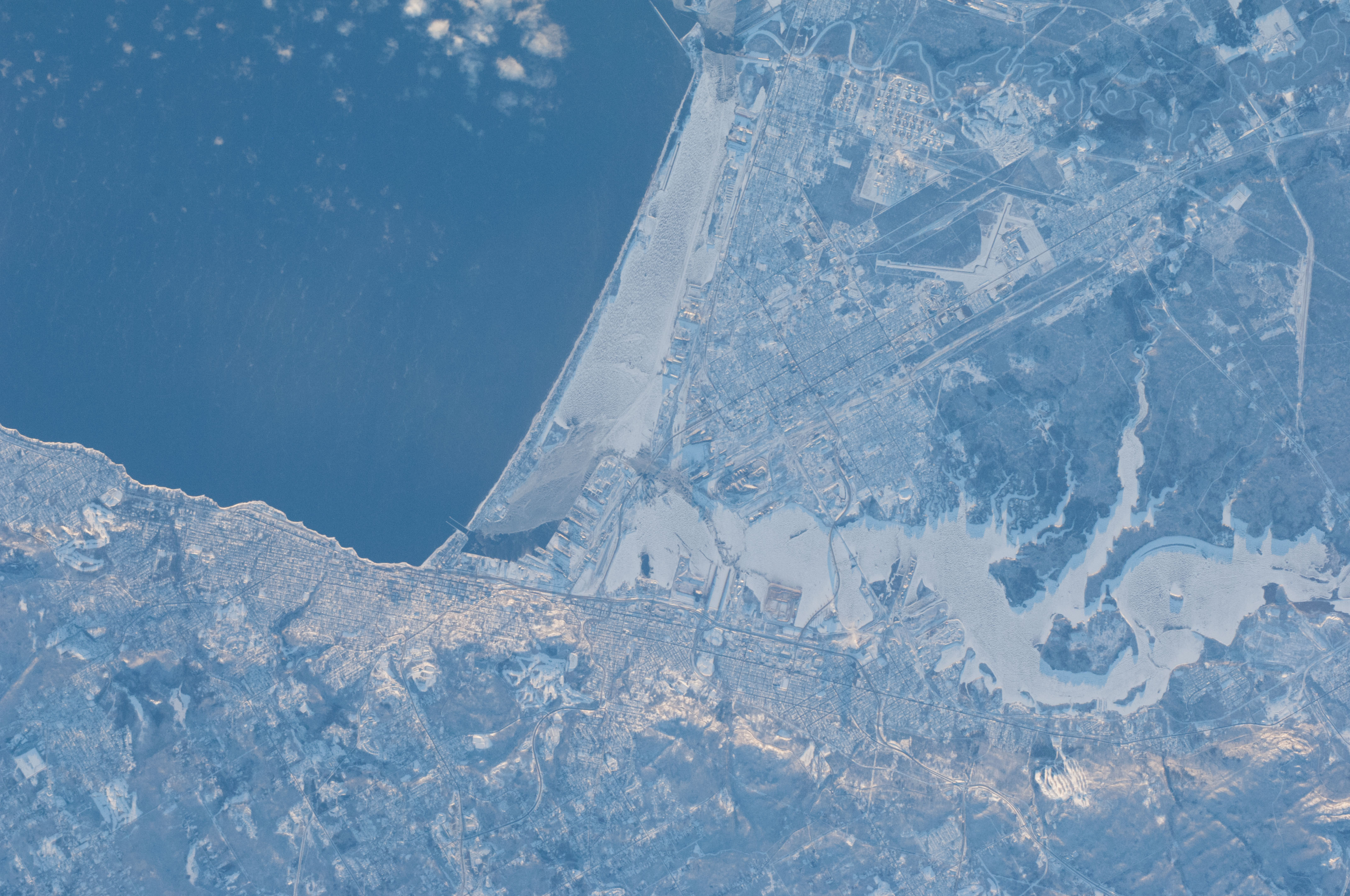
Spacecraft nadir point: 48.0° N, 95.2° W
Photo center point: 46.7° N, 92.1° W
Photo center point by machine learning:
Photo center point: 46.7° N, 92.1° W
Photo center point by machine learning:
Nadir to Photo Center: East
Spacecraft Altitude: 217 nautical miles (402km)
Country or Geographic Name: | USA-WISCONSIN |
Features: | PUBLIC INPUTS (from public image detectives, not NASA): DULUTH MN,MINNESOTA WISCONSIN BORDER,LAKE SUPERIOR,SPIRIT LAKE,ST LOUIS RIVER,RICHARD I. BONG AIRPORT (KSUW),SUPERIOR WI,SUPERIOR BAY,AIRPORT,DULUTH MINNESOTA,SAINT LOUIS BAY,ST LOUIS BAY,MARINA |
| Features Found Using Machine Learning: | |
Cloud Cover Percentage: | 10 (1-10)% |
Sun Elevation Angle: | 2° |
Sun Azimuth: | 124° |
Camera: | Nikon D2Xs Electronic Still Camera |
Focal Length: | 410mm |
Camera Tilt: | 43 degrees |
Format: | 4288E: 4288 x 2848 pixel CMOS sensor, RGBG imager color filter |
Film Exposure: | |
| Additional Information | |
| Width | Height | Annotated | Cropped | Purpose | Links |
|---|---|---|---|---|---|
| 4288 pixels | 2848 pixels | No | No | Download Image | |
| 640 pixels | 425 pixels | No | No | Download Image |
Download Packaged File
Download a Google Earth KML for this Image
View photo footprint information
Download a GeoTIFF for this photo
Image Caption: none
