ISS034-E-16607

| NASA Photo ID | ISS034-E-16607 |
| Focal Length | 24mm |
| Date taken | 2013.01.04 |
| Time taken | 05:56:16 GMT |
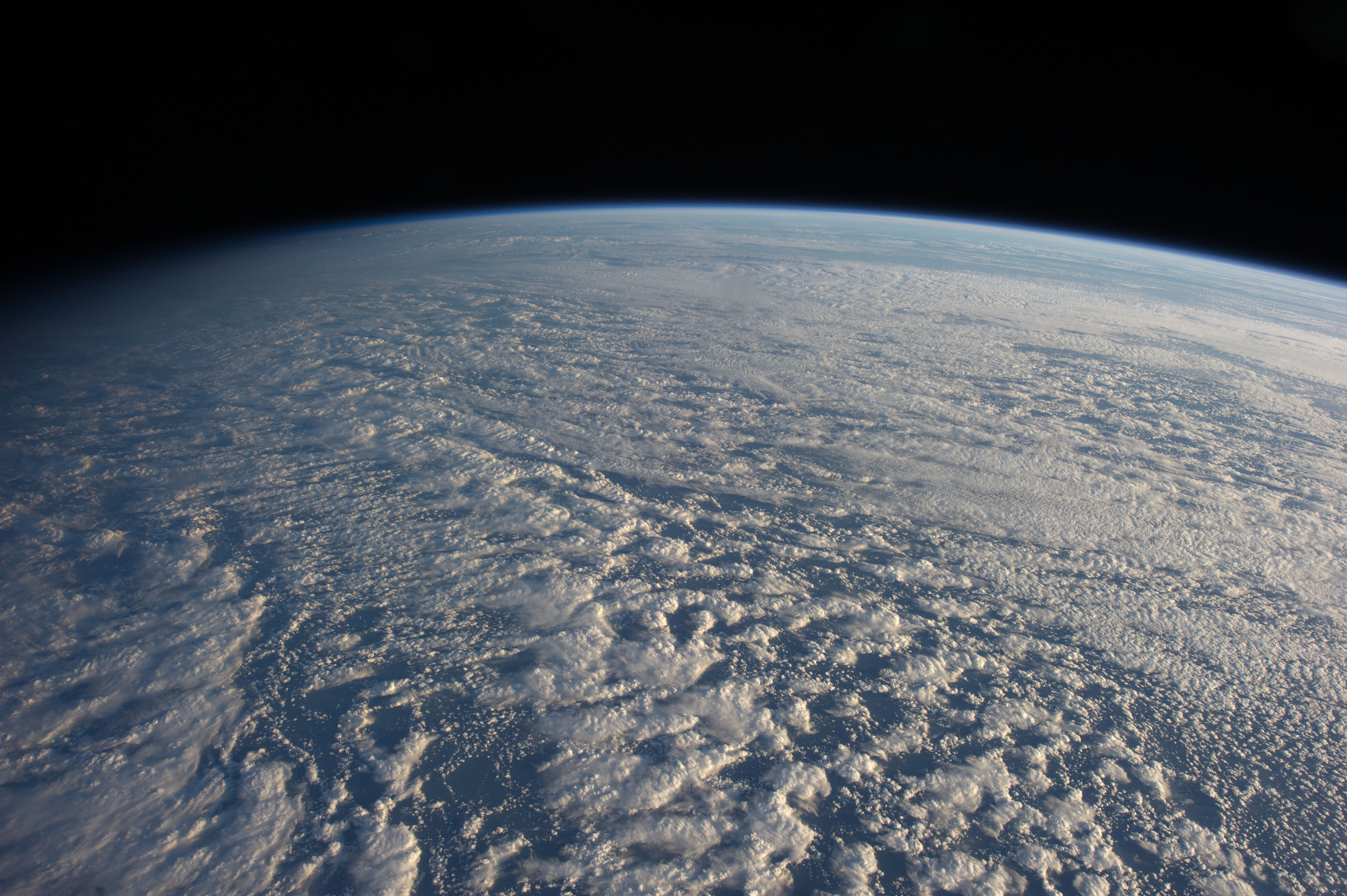
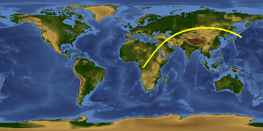
Spacecraft nadir point: 39.0° N, 150.1° E
Photo center point:
Photo center point by machine learning:
Photo center point:
Photo center point by machine learning:
Nadir to Photo Center:
Spacecraft Altitude: 213 nautical miles (394km)
Country or Geographic Name: | |
Features: | |
| Features Found Using Machine Learning: | PAN- |
Cloud Cover Percentage: | 56 (51-75)% |
Sun Elevation Angle: | 8° |
Sun Azimuth: | 232° |
Camera: | NIKON D3S S/N: 2007931 |
Focal Length: | 24mm |
Camera Tilt: | |
Format: | |
Film Exposure: | |
| Additional Information | |
This photo is one of the photos used to create this time-lapse video:
| Width | Height | Annotated | Cropped | Purpose | Links |
|---|---|---|---|---|---|
| 4256 pixels | 2832 pixels | No | No | Download Image | |
| 640 pixels | 426 pixels | No | No | Download Image |
Download Packaged File
Download a Google Earth KML for this Image
View photo footprint information
Download a GeoTIFF for this photo
Image Caption: none
