ISS033-E-6099
| NASA Photo ID | ISS033-E-6099 |
| Focal Length | 400mm |
| Date taken | 2012.09.20 |
| Time taken | 17:29:03 GMT |

Cloud masks available for this image:
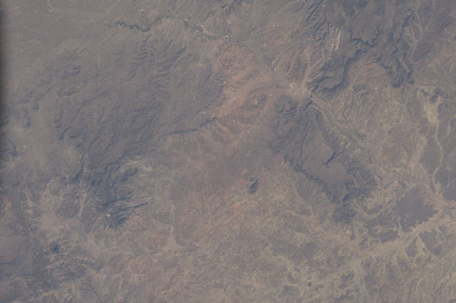
Spacecraft nadir point: 34.7° N, 108.9° W
Photo center point: 34.5° N, 108.5° W
Photo center point by machine learning:
Photo center point: 34.5° N, 108.5° W
Photo center point by machine learning:
Nadir to Photo Center: Southeast
Spacecraft Altitude: 218 nautical miles (404km)
Country or Geographic Name: | USA-NEW MEXICO |
Features: | TEJANA MESA |
| Features Found Using Machine Learning: | |
Cloud Cover Percentage: | 10 (1-10)% |
Sun Elevation Angle: | 49° |
Sun Azimuth: | 140° |
Camera: | Nikon D3S Electronic Still Camera |
Focal Length: | 400mm |
Camera Tilt: | 07 degrees |
Format: | 4256E: 4256 x 2832 pixel CMOS sensor, 36.0mm x 23.9mm, total pixels: 12.87 million, Nikon FX format |
Film Exposure: | |
| Additional Information | |
| Width | Height | Annotated | Cropped | Purpose | Links |
|---|---|---|---|---|---|
| 4256 pixels | 2832 pixels | No | No | Download Image | |
| 640 pixels | 426 pixels | No | No | Download Image |
Download Packaged File
Download a Google Earth KML for this Image
View photo footprint information
Download a GeoTIFF for this photo
Image Caption: none
