ISS033-E-15589
| NASA Photo ID | ISS033-E-15589 |
| Focal Length | 180mm |
| Date taken | 2012.10.23 |
| Time taken | 20:13:42 GMT |
Cloud masks available for this image:
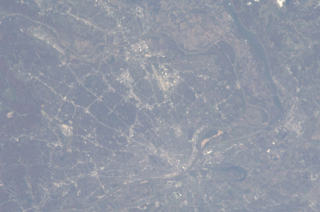
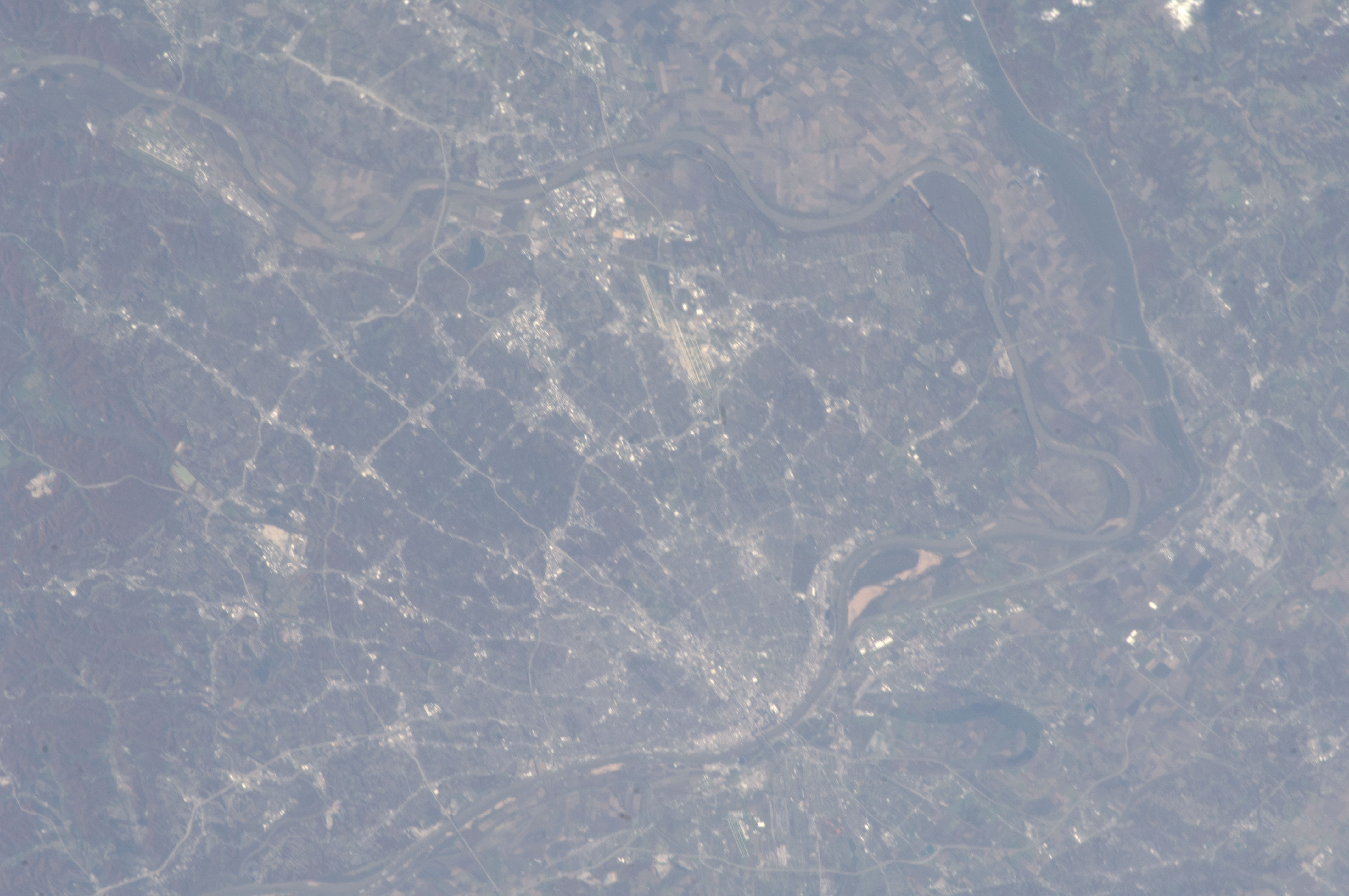
Spacecraft nadir point: 40.1° N, 92.3° W
Photo center point: 38.7° N, 90.3° W
Photo center point by machine learning:
Photo center point: 38.7° N, 90.3° W
Photo center point by machine learning:
Nadir to Photo Center: Southeast
Spacecraft Altitude: 226 nautical miles (419km)
Country or Geographic Name: | USA-MISSOURI |
Features: | PUBLIC INPUTS (from public image detectives, not NASA): ILLINOIS,MISSOURI,MARYLAND HEIGHTS,EARTH CITY,CHESTERFIELD,ST. LOUIS LAMBERT INTERNATIONAL AIRPORT,MISSOURI RIVER,EDWARDSVILLE,HORSESHOE LAKE,MISSISSIPPI RIVER,ROXANA,SAUGET,ST. LOUIS |
| Features Found Using Machine Learning: | ST LOUIS |
Cloud Cover Percentage: | 10 (1-10)% |
Sun Elevation Angle: | 29° |
Sun Azimuth: | 220° |
Camera: | Nikon D2Xs Electronic Still Camera |
Focal Length: | 180mm |
Camera Tilt: | 33 degrees |
Format: | 4288E: 4288 x 2848 pixel CMOS sensor, RGBG imager color filter |
Film Exposure: | |
| Additional Information | |
| Width | Height | Annotated | Cropped | Purpose | Links |
|---|---|---|---|---|---|
| 4288 pixels | 2848 pixels | No | No | Download Image | |
| 640 pixels | 425 pixels | No | No | Download Image |
Download Packaged File
Download a Google Earth KML for this Image
View photo footprint information
Download a GeoTIFF for this photo
Image Caption: none
