ISS030-E-40326

| NASA Photo ID | ISS030-E-40326 |
| Focal Length | 17mm |
| Date taken | 2012.01.02 |
| Time taken | 05:37:31 GMT |
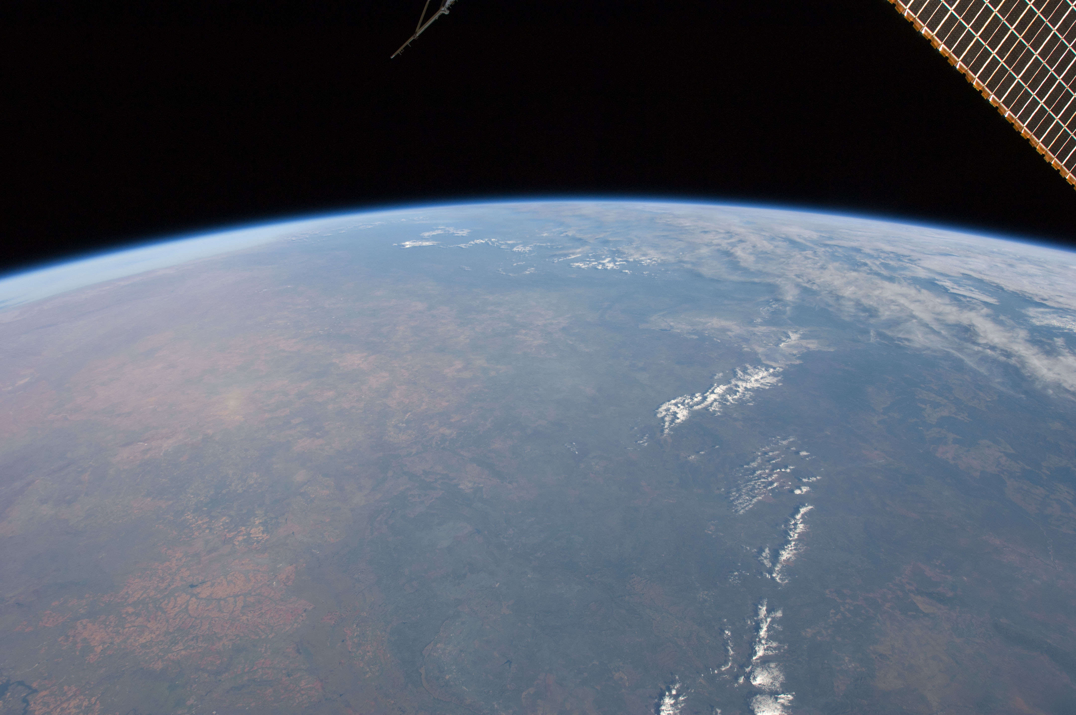

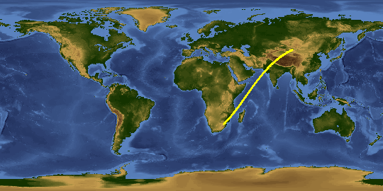
Spacecraft nadir point: 27.1° S, 30.3° E
Photo center point:
Photo center point by machine learning:
Photo center point:
Photo center point by machine learning:
Nadir to Photo Center:
Spacecraft Altitude: 213 nautical miles (394km)
Country or Geographic Name: | |
Features: | |
| Features Found Using Machine Learning: | PAN- |
Cloud Cover Percentage: | 23 (11-25)% |
Sun Elevation Angle: | 30° |
Sun Azimuth: | 102° |
Camera: | NIKON D2Xs S/N: 6027263 |
Focal Length: | 17mm |
Camera Tilt: | |
Format: | |
Film Exposure: | |
| Additional Information | |
This photo is one of the photos used to create this time-lapse video:
| Width | Height | Annotated | Cropped | Purpose | Links |
|---|---|---|---|---|---|
| 4288 pixels | 2848 pixels | No | No | Download Image | |
| 640 pixels | 425 pixels | No | No | Download Image |
Download Packaged File
Download a Google Earth KML for this Image
View photo footprint information
Download a GeoTIFF for this photo
Image Caption: none
