ISS030-E-192841

| NASA Photo ID | ISS030-E-192841 |
| Focal Length | 400mm |
| Date taken | 2012.03.12 |
| Time taken | 10:49:11 GMT |
Cloud masks available for this image:
Spacecraft nadir point: 51.7° N, 1.3° W
Photo center point: 49.2° N, 2.1° W
Photo center point by machine learning:
Photo center point: 49.2° N, 2.1° W
Photo center point by machine learning:
Nadir to Photo Center: South
Spacecraft Altitude: 204 nautical miles (378km)
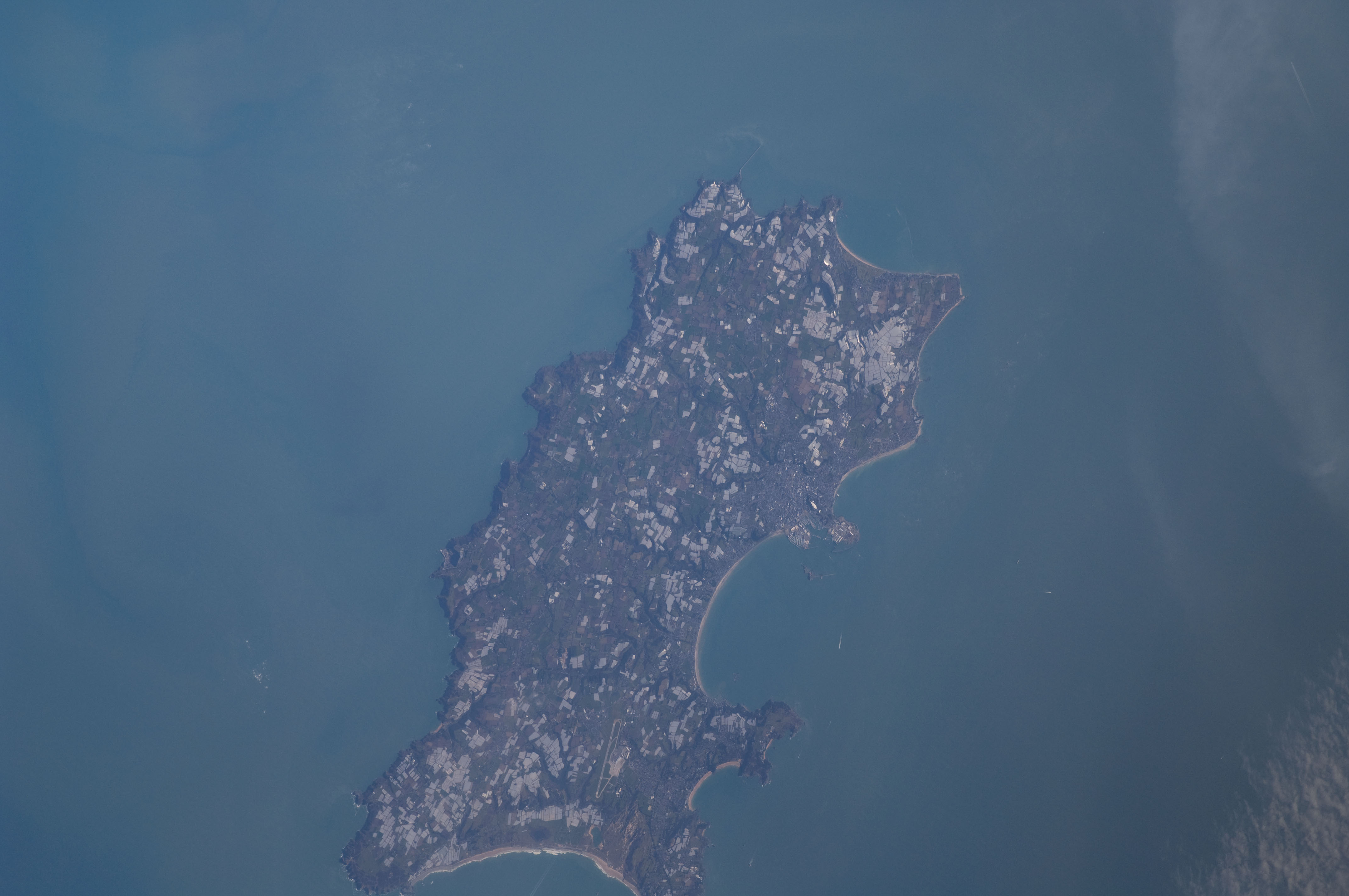
Country or Geographic Name: | CHANNEL ISLANDS |
Features: | JERSEY, ENGLISH CHAN., SAINT HELIER, SAINT BRELADE |
| Features Found Using Machine Learning: | |
Cloud Cover Percentage: | 10 (1-10)% |
Sun Elevation Angle: | 32° |
Sun Azimuth: | 154° |
Camera: | Nikon D2Xs Electronic Still Camera |
Focal Length: | 400mm |
Camera Tilt: | 38 degrees |
Format: | 4288E: 4288 x 2848 pixel CMOS sensor, RGBG imager color filter |
Film Exposure: | |
| Additional Information | |
| Width | Height | Annotated | Cropped | Purpose | Links |
|---|---|---|---|---|---|
| 4288 pixels | 2848 pixels | No | No | Download Image | |
| 640 pixels | 425 pixels | No | No | Download Image |
Download Packaged File
Download a Google Earth KML for this Image
View photo footprint information
Download a GeoTIFF for this photo
Georeferenced by human interaction - exported 2016-08-16-224337-UTCGeoreferenced by human interaction - exported 2016-08-23-232910-UTC
An explanation of the georeference file(s) above
Image Caption: none
