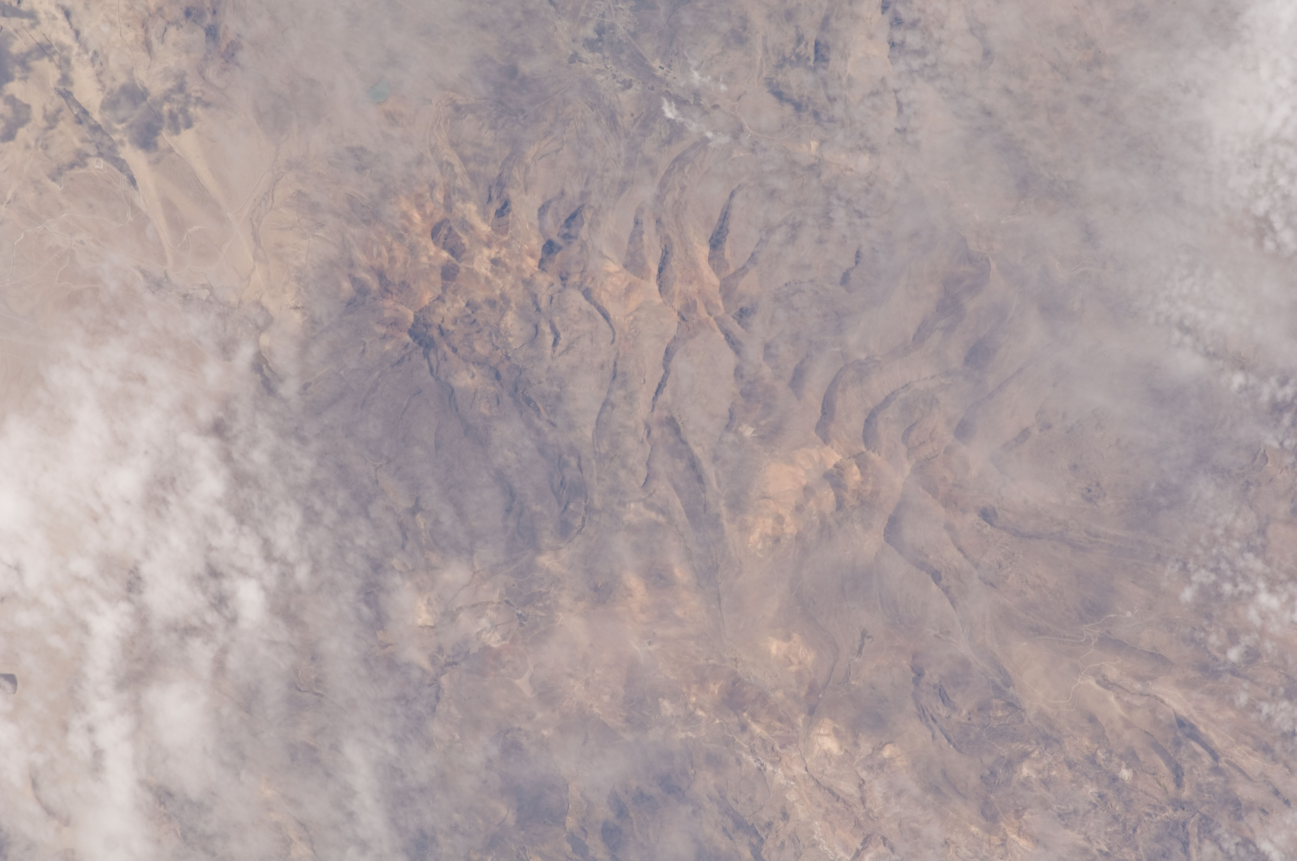
ISS028-E-21702
| NASA Photo ID | ISS028-E-21702 |
| Focal Length | 400mm |
| Date taken | 2011.08.05 |
| Time taken | 14:52:09 GMT |
Cloud masks available for this image:
Spacecraft nadir point: 14.6° S, 73.1° W
Photo center point: 16.9° S, 70.6° W
Photo center point by machine learning:
Photo center point: 16.9° S, 70.6° W
Photo center point by machine learning:
Nadir to Photo Center: Southeast
Spacecraft Altitude: 214 nautical miles (396km)
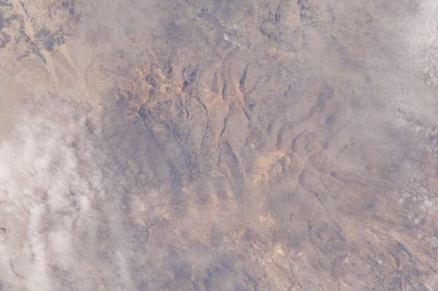
Country or Geographic Name: | PERU |
Features: | VOLCANOES, GLACIAL VALLEYS |
| Features Found Using Machine Learning: | |
Cloud Cover Percentage: | 10 (1-10)% |
Sun Elevation Angle: | 46° |
Sun Azimuth: | 46° |
Camera: | Nikon D2Xs Electronic Still Camera |
Focal Length: | 400mm |
Camera Tilt: | 44 degrees |
Format: | 4288E: 4288 x 2848 pixel CMOS sensor, RGBG imager color filter |
Film Exposure: | |
| Additional Information | |
| Width | Height | Annotated | Cropped | Purpose | Links |
|---|---|---|---|---|---|
| 4288 pixels | 2848 pixels | No | No | Download Image | |
| 640 pixels | 425 pixels | No | No | Download Image |
Download Packaged File
Download a Google Earth KML for this Image
View photo footprint information
Download a GeoTIFF for this photo
Image Caption: none
