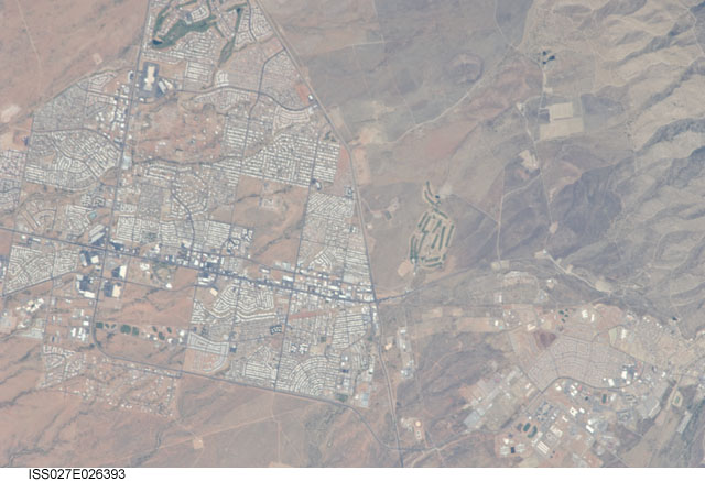
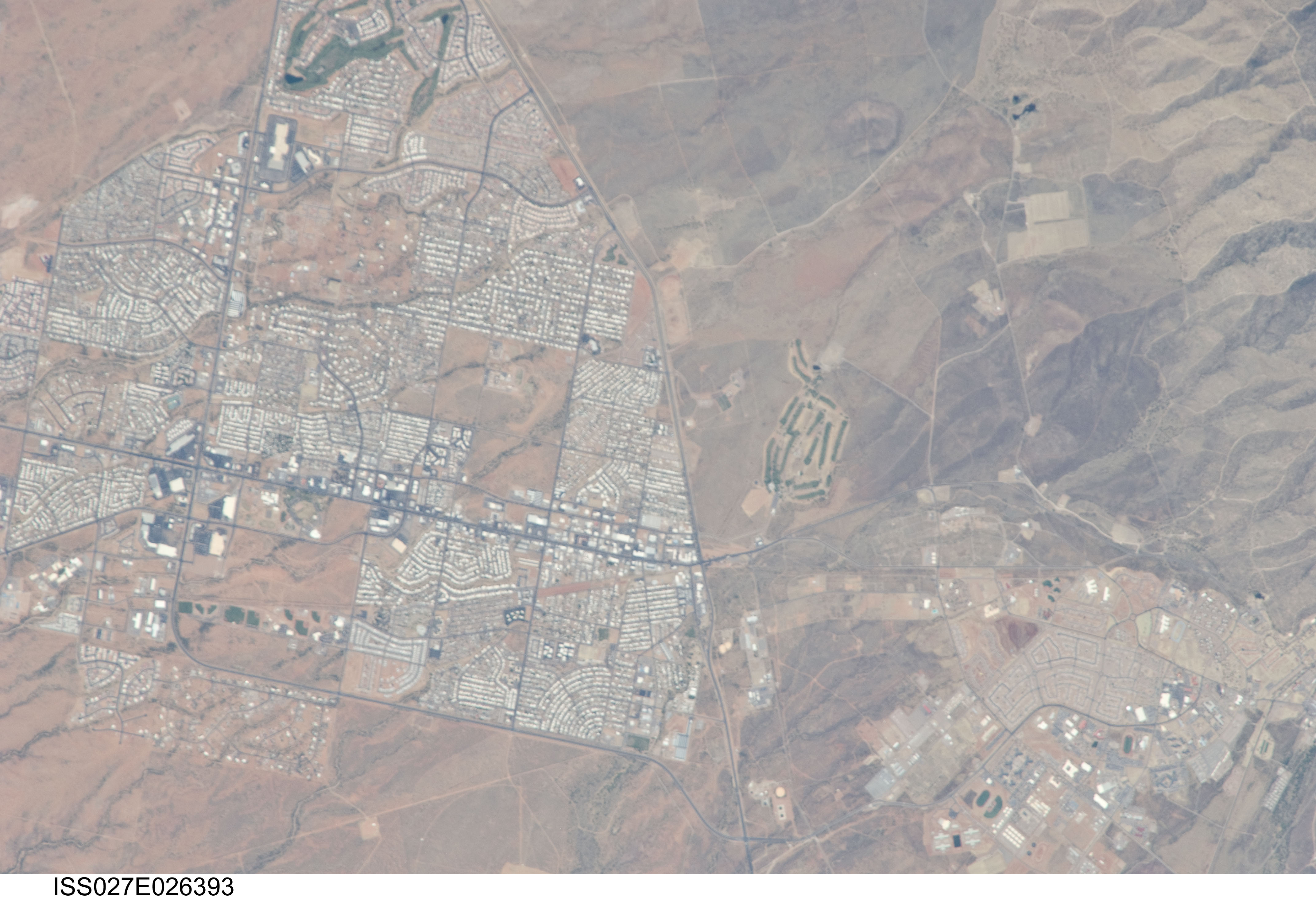
ISS027-E-26393
| NASA Photo ID | ISS027-E-26393 |
| Focal Length | 800mm |
| Date taken | 2011.05.11 |
| Time taken | 17:08:30 GMT |
Cloud masks available for this image:
Spacecraft nadir point: 32.3° N, 108.4° W
Photo center point: 31.5° N, 110.3° W
Photo center point by machine learning:
Photo center point: 31.5° N, 110.3° W
Photo center point by machine learning:
Nadir to Photo Center: West
Spacecraft Altitude: 185 nautical miles (343km)
Country or Geographic Name: | USA-ARIZONA |
Features: | FORT HUACHUCA MILITARY RESERVATION, SIERRA VISTA, DRAINAGE, ROADS, DESERT |
| Features Found Using Machine Learning: | |
Cloud Cover Percentage: | 10 (1-10)% |
Sun Elevation Angle: | 59° |
Sun Azimuth: | 110° |
Camera: | Nikon D2Xs Electronic Still Camera |
Focal Length: | 800mm |
Camera Tilt: | 34 degrees |
Format: | 4288E: 4288 x 2848 pixel CMOS sensor, RGBG imager color filter |
Film Exposure: | |
| Additional Information | |
| Width | Height | Annotated | Cropped | Purpose | Links |
|---|---|---|---|---|---|
| 4288 pixels | 2929 pixels | No | No | Download Image | |
| 640 pixels | 437 pixels | No | No | Download Image |
Download Packaged File
Download a Google Earth KML for this Image
View photo footprint information
Download a GeoTIFF for this photo
Image Caption: none
