ISS027-E-18301
| NASA Photo ID | ISS027-E-18301 |
| Focal Length | 22mm |
| Date taken | 2011.03.21 |
| Time taken | 12:38:51 GMT |
Cloud masks available for this image:
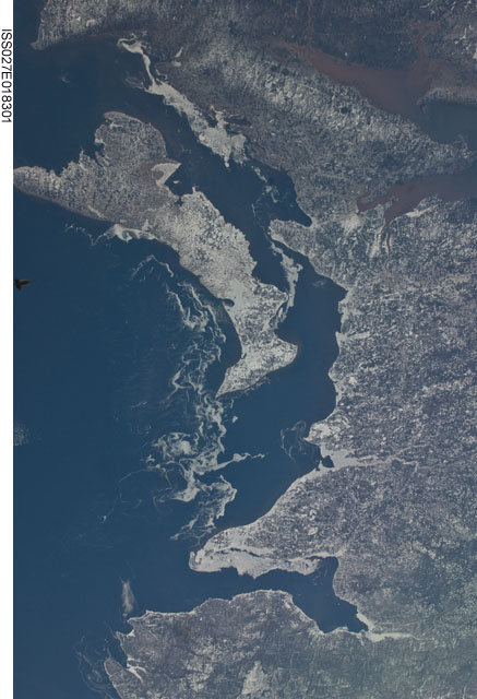
Spacecraft nadir point: 48.1° N, 56.7° W
Photo center point: 46.5° N, 64.0° W
Photo center point by machine learning:
Photo center point: 46.5° N, 64.0° W
Photo center point by machine learning:
Nadir to Photo Center: West
Spacecraft Altitude: 186 nautical miles (344km)
Country or Geographic Name: | CANADA-PEI |
Features: | BAY OF CHALEURS, MINAS BASIN OF BAY OF FUNDY, MONGTON |
| Features Found Using Machine Learning: | |
Cloud Cover Percentage: | 10 (1-10)% |
Sun Elevation Angle: | 26° |
Sun Azimuth: | 123° |
Camera: | Nikon D2Xs Electronic Still Camera |
Focal Length: | 22mm |
Camera Tilt: | High Oblique |
Format: | 4288E: 4288 x 2848 pixel CMOS sensor, RGBG imager color filter |
Film Exposure: | |
| Additional Information | |
| Width | Height | Annotated | Cropped | Purpose | Links |
|---|---|---|---|---|---|
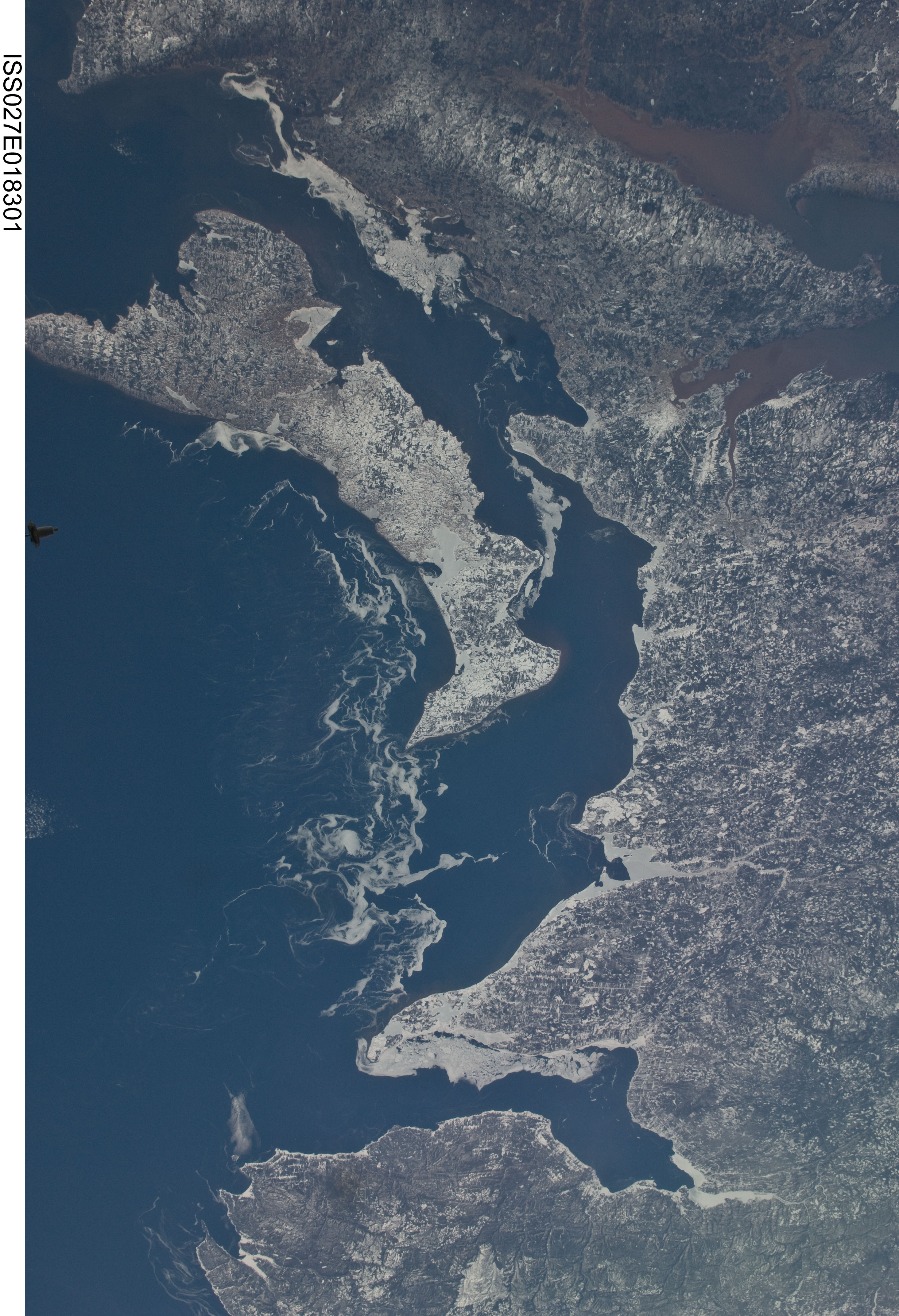
| 2929 pixels | 4288 pixels | No | No | Download Image | |
| 437 pixels | 640 pixels | No | No | Download Image |
Download Packaged File
Download a Google Earth KML for this Image
View photo footprint information
Download a GeoTIFF for this photo
Image Caption: none
