ISS027-E-16095

| NASA Photo ID | ISS027-E-16095 |
| Focal Length | 200mm |
| Date taken | 2011.04.21 |
| Time taken | 01:36:09 GMT |
Cloud masks available for this image:
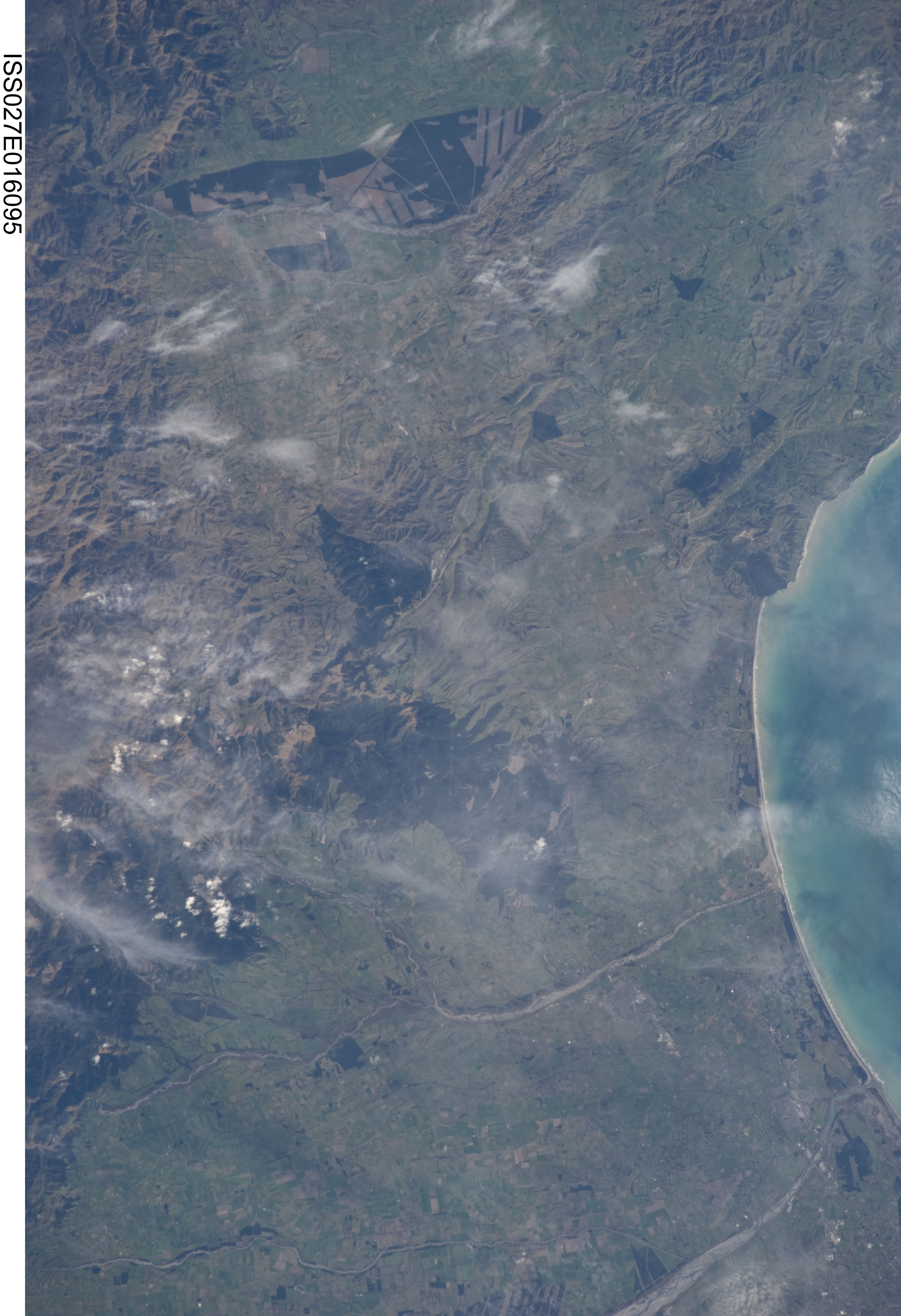
Spacecraft nadir point: 42.9° S, 174.3° E
Photo center point: 43.1° S, 172.6° E
Photo center point by machine learning:
Photo center point: 43.1° S, 172.6° E
Photo center point by machine learning:
Nadir to Photo Center: West
Spacecraft Altitude: 191 nautical miles (354km)
Country or Geographic Name: | NEW ZEALAND-SI |
Features: | GREAORERE RIVER, PUKETERAKI RANGE |
| Features Found Using Machine Learning: | |
Cloud Cover Percentage: | 25 (11-25)% |
Sun Elevation Angle: | 33° |
Sun Azimuth: | 338° |
Camera: | Nikon D3S Electronic Still Camera |
Focal Length: | 200mm |
Camera Tilt: | 28 degrees |
Format: | 4256E: 4256 x 2832 pixel CMOS sensor, 36.0mm x 23.9mm, total pixels: 12.87 million, Nikon FX format |
Film Exposure: | |
| Additional Information | |
| Width | Height | Annotated | Cropped | Purpose | Links |
|---|---|---|---|---|---|
| 2913 pixels | 4256 pixels | No | No | Download Image | |
| 438 pixels | 640 pixels | No | No | Download Image |
Download Packaged File
Download a Google Earth KML for this Image
View photo footprint information
Download a GeoTIFF for this photo
Image Caption: none
