ISS026-E-12250
| NASA Photo ID | ISS026-E-12250 |
| Focal Length | 180mm |
| Date taken | 2010.12.22 |
| Time taken | 19:35:41 GMT |
Cloud masks available for this image:
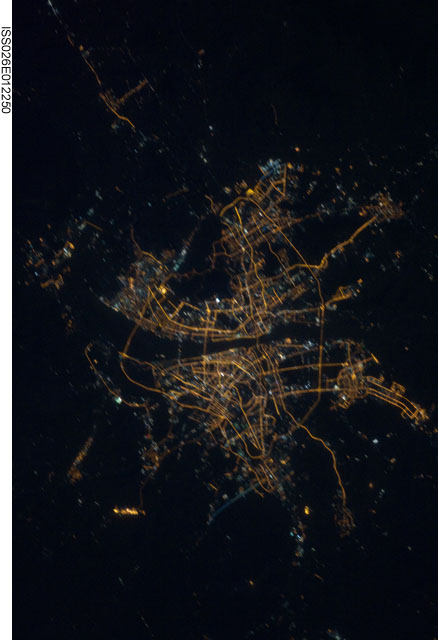
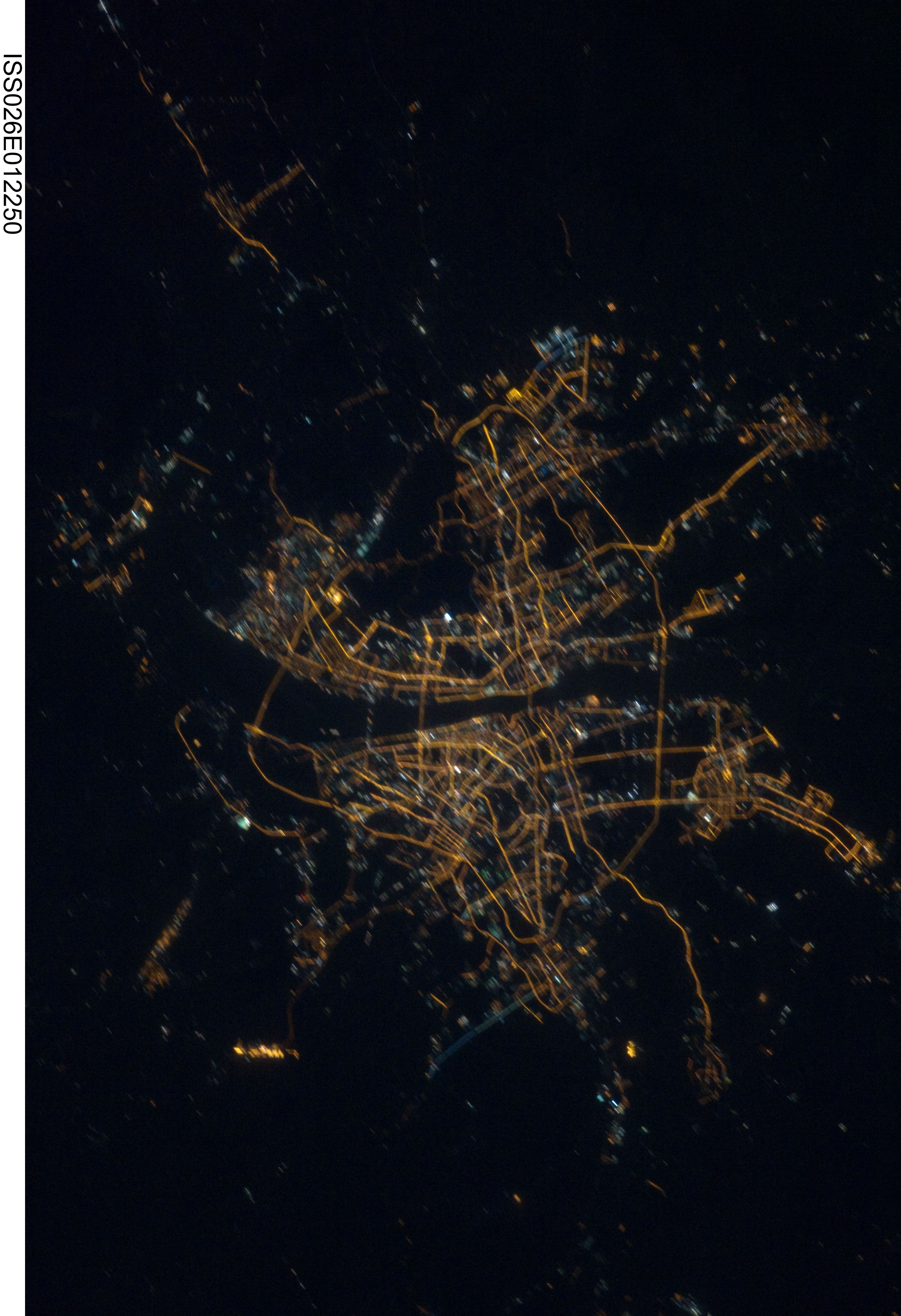
Spacecraft nadir point: 29.9° N, 112.9° E
Photo center point: 30.6° N, 114.3° E
Photo center point by machine learning: 30.73° N, 114.24° E
Photo center point: 30.6° N, 114.3° E
Photo center point by machine learning: 30.73° N, 114.24° E
Nadir to Photo Center: Northeast
Spacecraft Altitude: 188 nautical miles (348km)

Country or Geographic Name: | CHINA |
Features: | WUHAN AT NIGHT |
| Features Found Using Machine Learning: | |
Cloud Cover Percentage: | 10 (1-10)% |
Sun Elevation Angle: | -48° |
Sun Azimuth: | 93° |
Camera: | Nikon D3S Electronic Still Camera |
Focal Length: | 180mm |
Camera Tilt: | 27 degrees |
Format: | 4256E: 4256 x 2832 pixel CMOS sensor, 36.0mm x 23.9mm, total pixels: 12.87 million, Nikon FX format |
Film Exposure: | |
| Additional Information | |
| Width | Height | Annotated | Cropped | Purpose | Links |
|---|---|---|---|---|---|
| 2913 pixels | 4256 pixels | No | No | Download Image | |
| 438 pixels | 640 pixels | No | No | Download Image |
Download Packaged File
Download a Google Earth KML for this Image
View photo footprint information
Download a GeoTIFF for this photo
Image Caption: none
