ISS025-E-7034
| NASA Photo ID | ISS025-E-7034 |
| Focal Length | 180mm |
| Date taken | 2010.10.11 |
| Time taken | 11:56:52 GMT |

Cloud masks available for this image:
Spacecraft nadir point: 44.2° N, 73.5° W
Photo center point: 41.9° N, 70.1° W
Photo center point by machine learning:
Photo center point: 41.9° N, 70.1° W
Photo center point by machine learning:
Nadir to Photo Center: Southeast
Spacecraft Altitude: 185 nautical miles (343km)
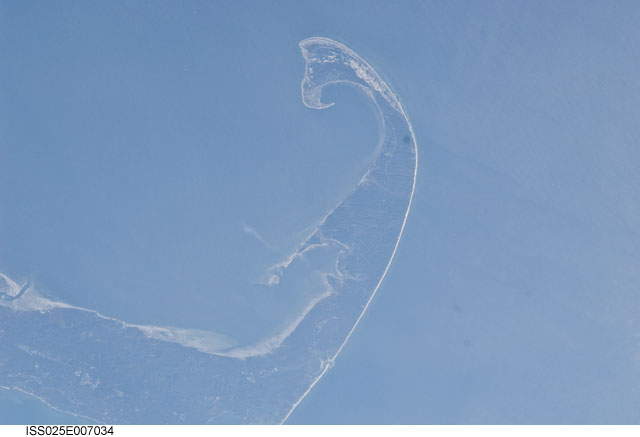
Country or Geographic Name: | USA-MASSACHUSETTS |
Features: | PUBLIC INPUTS (from public image detectives, not NASA): CAPE COD NATIONAL SEASHORE,MASSACHUSETTS,WELLFLEET HARBOR,PROVINCETOWN MUNICIPAL AIRPORT (KPVC),PROVINCETOWN MA,CAPE COD,PROVINCETOWN,TRURO,CAPE COD BAY |
| Features Found Using Machine Learning: | |
Cloud Cover Percentage: | 10 (1-10)% |
Sun Elevation Angle: | 8° |
Sun Azimuth: | 108° |
Camera: | Nikon D2Xs Electronic Still Camera |
Focal Length: | 180mm |
Camera Tilt: | 53 degrees |
Format: | 4288E: 4288 x 2848 pixel CMOS sensor, RGBG imager color filter |
Film Exposure: | |
| Additional Information | |
| Width | Height | Annotated | Cropped | Purpose | Links |
|---|---|---|---|---|---|
| 4288 pixels | 2929 pixels | No | No | Download Image | |
| 640 pixels | 437 pixels | No | No | Download Image |
Download Packaged File
Download a Google Earth KML for this Image
View photo footprint information
Download a GeoTIFF for this photo
Georeferenced by human interaction - exported 2016-08-17-011006-UTCGeoreferenced by human interaction - exported 2016-08-24-020451-UTC
Georeferenced by human interaction - exported 2018-01-16-171804-UTC
An explanation of the georeference file(s) above
Image Caption: none
